Home · About Access San Francisco
About Access San Francisco
Sourced, checked, photographed from Commons, and written with the assistance of AI
What this site is
Eighteen sights in San Francisco, one page each, and eleven sections on how the city works: arriving from an airport twelve miles south of downtown, getting around by cable car, streetcar, bus and on foot, the hills and their grades, what visitors ask about the streets, the seasons and the fog, what to eat and where to stay. There is also a journal of longer answers to the questions visitors ask most.
Every page tries to answer what a visitor actually needs: what a place is, what you see when you get there, how steep it is to reach, how to visit it, what to combine it with, and where a well-known story is a legend rather than a fact.
It is not a listings site. There are no opening hours, admission prices or fares anywhere on it, because those change, and the operator is the only source that is right on the day you travel.
What San Francisco means here
The city and the county of San Francisco share one boundary, and this site keeps to it: the peninsula from the Golden Gate south to the county line, with Alcatraz and the other bay islands that belong to the city. Sausalito, Muir Woods, Berkeley, the Napa Valley and Angel Island are close and much visited, but they are other towns and counties, and they appear on the day trips page rather than as sights of the city.
How it is written
Each page is built from sources that are named at the foot of it, and the facts in it, such as dates, heights, distances and who built what, are checked against those sources before the page is published. Where the sources disagree, the page says so or leaves the number out.
The pages on the streets and on car break-ins give mechanics and checks drawn from the city's police department, its transit agency and the National Park Service. They do not label any neighborhood as good or bad, because such labels are rarely accurate and never useful.
Access San Francisco is written and maintained with the assistance of AI, edited and fact-checked before publication. Anything wrong is worth pointing out, and will be corrected.
The photographs
Every photograph comes from Wikimedia Commons and is credited on the page it appears on, with the photographer's name, the license and a link to the file.
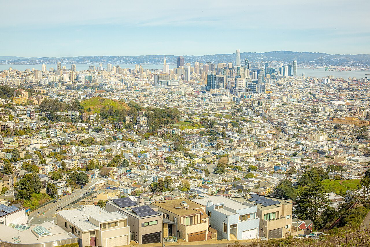
They are chosen by looking at them: recent rather than archival, showing the place the page is about, and captioned from what is actually in the frame. Many files labeled San Francisco show other cities of the same name, other towns around the bay, or the city before 1906, so each one is checked before it is used.
What it costs you
Nothing. A few planning pages carry affiliate links, marked as such before the first one, and the privacy page explains what that means. No page about a sight carries one, and nothing on this site is recommended because of a commission.
Three ways on
- Eighteen places, one page eachThe SightsFrom the Ferry Building to the top of Twin Peaks: what each one is, what you see, and how steep it is.Open the page
- Grades, step streets and the ways upThe HillsWhich sights sit on a steep grade or at the top of a stairway, the rides that save your legs, and what the hills mean for a wheelchair or a stroller.Open the page
- One day, three, fiveItinerariesRoutes by the length of your stay, built around the Alcatraz booking, the fog and the hills.Open the page