Home · The Hills
How steep is each sight
Steep or many steps
- Coit Tower and Telegraph HillOn top of Telegraph Hill, steep from every side. Muni's 39 Coit bus climbs to the tower; the Filbert Steps, about 400 of them, are the way down.
- Lombard Street and Russian HillBuilt to tame a 27 percent grade. Arrive at the top by the Powell–Hyde cable car and walk down the side stairways; the climb from the bottom is hard.
- Twin PeaksTwo summits of about 925 feet. A steep climb on foot from any side; most visitors come by taxi, ride-hail, tour bus or car.
- Lands End and the Sutro BathsThe Coastal Trail is step-free as far as the Mile Rock Overlook; beyond it, and down to the ruins, are steep stairs and uneven ground.
Some climbing
- The Cable CarsThe ride does the climbing, but boarding means a high step or the running board, and the Powell turntable queue is on level ground.
- ChinatownGrant Avenue is gentle; the cross streets rise steeply toward Powell Street and Nob Hill.
- Alamo Square and the Painted LadiesAlamo Square is a hilltop park, with some climbing from any side.
- The Presidio and Crissy FieldThe Main Post, Tunnel Tops and Crissy Field are level; the trails and coastal bluffs climb.
- Haight-AshburyHaight Street is gentle; the cross streets climb south, and Buena Vista Park is steep.
- AlcatrazFrom the dock to the cellhouse is a quarter-mile climb of 130 feet; the park runs an accessible tram for visitors with limited mobility.
Level
- The Ferry Building and the EmbarcaderoLevel, on the Embarcadero at the foot of Market Street.
- Fisherman's Wharf and the Hyde Street PierLevel from Pier 39 to Aquatic Park.
- The Golden Gate Bridge and Fort PointThe walkway is level, but long and exposed to the wind.
- Golden Gate ParkMostly level, but large; the museums and gardens are spread across miles.
- The Palace of Fine ArtsLevel all the way around the lagoon.
- Mission Dolores and the Mission DistrictLevel at the mission; Mission Dolores Park, across the street, slopes steeply.
- City Hall and the Civic CenterLevel, in the Civic Center, with accessible upper levels.
- SFMOMA and Yerba BuenaLevel, in the flat blocks of SoMa beside Yerba Buena Gardens.
The Hills
A city of more than fifty hills
San Francisco has more than fifty hills within its limits, and some neighborhoods are named for the hill they stand on: Nob Hill, Russian Hill, Telegraph Hill, Potrero Hill. The best known are sometimes called the seven hills of San Francisco, a list that usually includes Telegraph Hill, Nob Hill, Russian Hill, Rincon Hill, Twin Peaks and Mount Davidson, which at 928 feet is the highest point in the city. Near the geographic center, southwest of downtown, rises a rugged, less crowded cluster of summits: Twin Peaks, Mount Davidson and Mount Sutro.
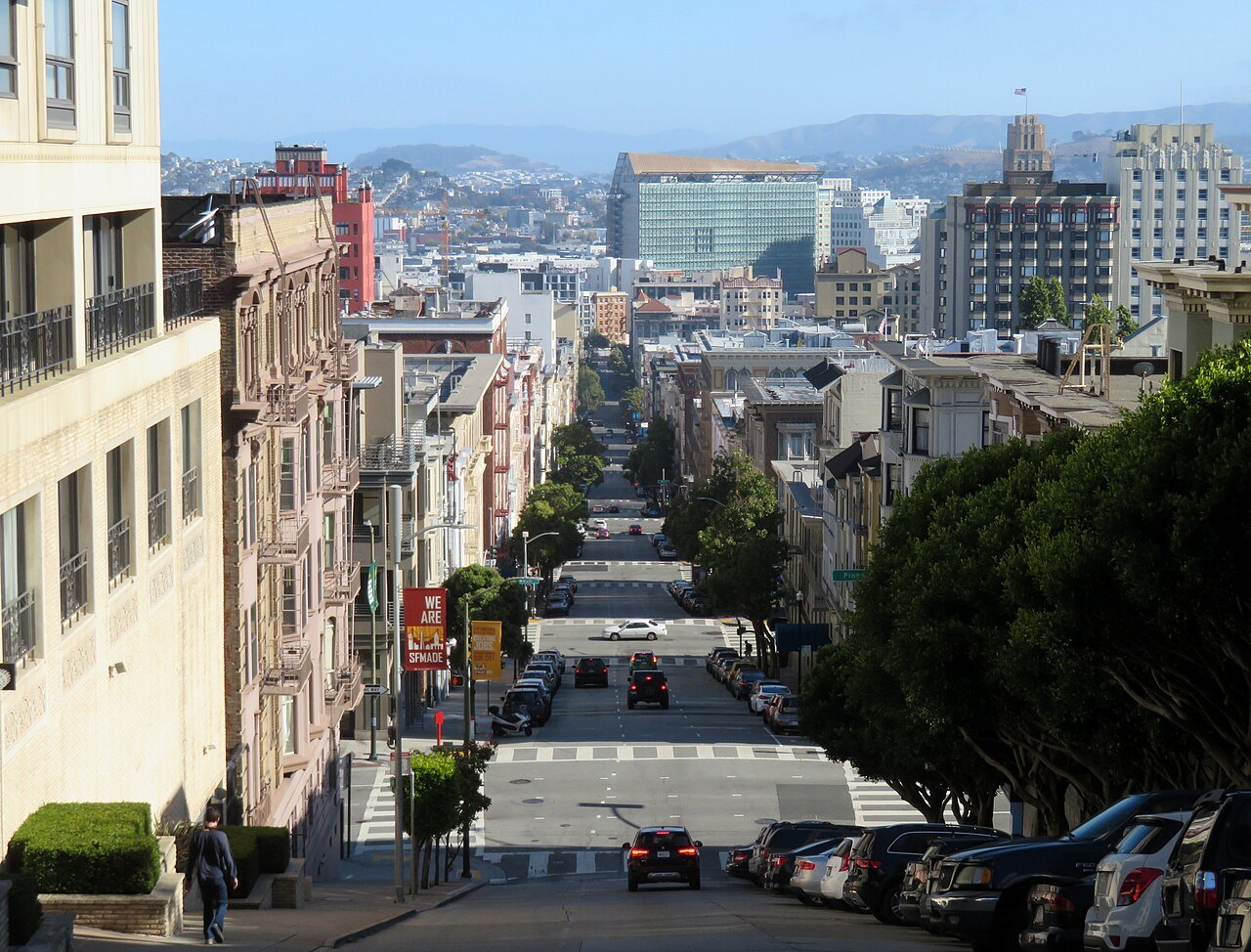
The grid of streets was laid over this ground with little regard for it, so many streets run straight up slopes that a road engineer would have avoided. That is why the views are so good, and why walking here takes planning.
How the grades are marked
Every sight in this guide carries one of three marks. Level means the sight and the usual way to it are flat or nearly so. Some climbing means a slope or a hilltop, or a steep walk from the nearest transit, that most visitors manage without trouble. Steep or many steps means steep streets or long flights of stairs, and a real effort on foot; each of these sights has an easier way up, listed with it.
A mark of steep is given only where a source names the grade or the steps. The rest come from where each sight stands, and each sight page describes the approach in more detail.
Three hills and their names
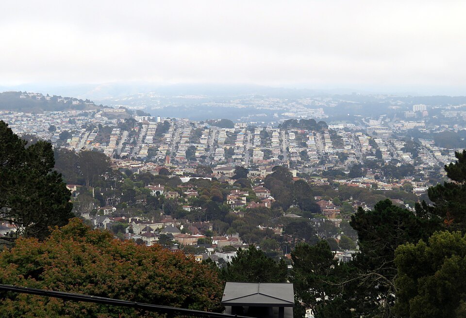
The three hills above downtown and the waterfront each carry a story in their name. Telegraph Hill, 285 feet high, is named for a semaphore put up on its summit in 1849, a pole with arms that signaled to the city below what kind of ship was entering the Golden Gate. Its east face was quarried for rock, and the exposed cliffs can still be seen from the Vallejo Steps and from Broadway; Coit Tower stands at its top.
Russian Hill takes its name from a small Russian cemetery that gold rush settlers found at the top, where crew of visiting Russian ships had been buried; the cemetery is gone but the name remained. Nob Hill was renamed for the railroad barons of the Central Pacific, the Big Four, known as the Nobs, who built mansions on it. The fire of 1906 destroyed them, leaving only the granite walls around the Stanford, Crocker, Huntington and Hopkins houses; the Fairmont Hotel and the Flood Mansion, now the Pacific-Union Club, were gutted and rebuilt.
The steepest streets
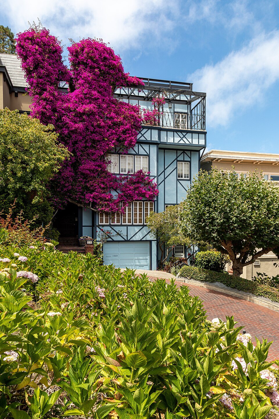
The grades here are real. Lombard Street's single crooked block was built in 1922, at the suggestion of a property owner named Carl Henry, to reduce the hill's natural 27 percent grade, which was too steep for most vehicles; see Lombard Street. On the east side of Russian Hill, the half-block of Filbert Street west of Leavenworth reaches a gradient of thirty-one and a half percent and allows only downhill traffic. It is often said to be the steepest street in the city open to cars, but it is not: several blocks are steeper, and this one ties for sixth.
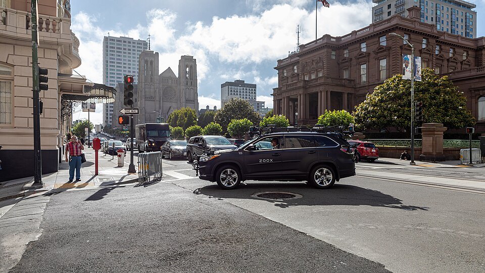
Nob Hill was once called California Hill, after California Street, which climbs its steep eastern face; the California Street cable car still climbs it. Grades like these are hard on anyone walking, and they are harder going down in wet weather or on smooth soles.
The step streets
Where the slopes were too steep for streets, the city built stairways, and some of them are among its loveliest walks. On Telegraph Hill, the Filbert Steps, about 400 wooden steps, run down the east face of the hill below Coit Tower through the Grace Marchant Garden, which a resident began planting in 1949, past houses that can be reached only from the steps, to Levi's Plaza and the Embarcadero. The Greenwich Steps run down beside them, and the Vallejo and Calhoun steps climb other parts of the hill.
The feral parrots of Telegraph Hill are often heard, and seen, from the Filbert Steps. In the southwest of the city, the 16th Avenue Tiled Steps near Grand View Park are a local favorite, faced with tiles. All of these are a pleasure going down and a serious climb going up.
The easy ways up
Most climbs have an easier alternative. The cable cars were built for exactly this: the Powell lines carry you over Nob Hill, and the Powell–Hyde line stops at the top of Lombard Street, so you can walk down the crooked block rather than up it. Muni's 39 Coit bus climbs Telegraph Hill to the tower, and you can walk down the Filbert Steps afterward. Taxis and ride-hailing cars reach the Twin Peaks summit road and the top of Alamo Square; see getting around.
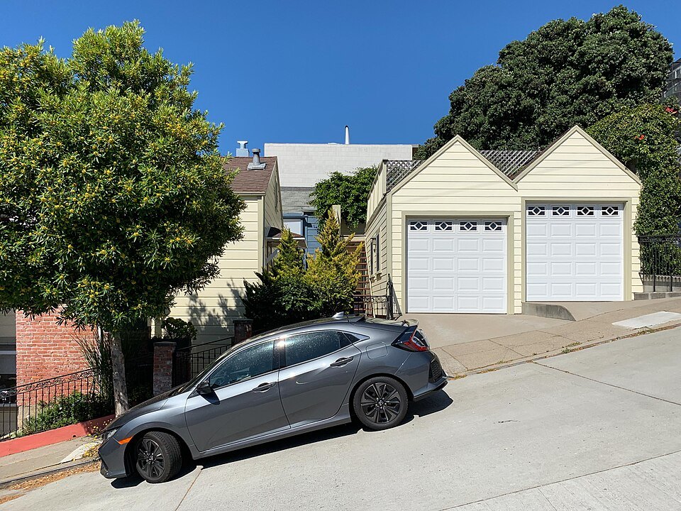
A good rule for any hill walk is to ride up and walk down. Going downhill is easier on the lungs, but it is harder on the knees and the feet, so allow time and take the stairs slowly.
Level San Francisco
A great deal of the city is flat, and a visit can be built almost entirely on level ground. The Embarcadero runs from the Ferry Building to Fisherman's Wharf, and the F-line streetcar runs along it. Market Street, Union Square, the Civic Center and SoMa, with SFMOMA and Yerba Buena Gardens, are level. So are the Marina, Crissy Field and the Palace of Fine Arts on the northern shore, the walkway of the Golden Gate Bridge, and most of Golden Gate Park.
The Mission District lies in a sheltered valley and is mostly level too, apart from Mission Dolores Park, which slopes steeply up from Dolores Street toward Church Street. For a plan that keeps to the flats, see itineraries.
Weather on the hills
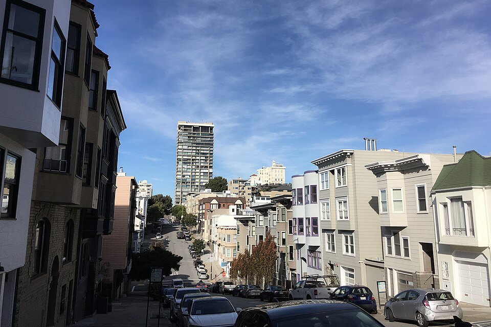
The hills also shape the weather. Twin Peaks, Mount Davidson and Mount Sutro form a divide for the summer fog pushed in from the Pacific: their west-facing slopes often get fog and strong winds, while the east-facing slopes, and the eastern neighborhoods beyond them, receive more sun and warmth. The summits and the bridge walkway are among the windiest places in the city. Carry a layer to every high point, whatever the weather at your hotel; see when to come for the seasons.
More photographs
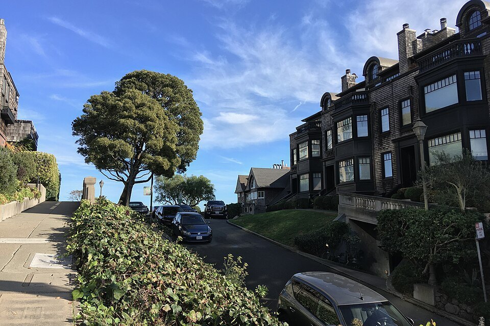
Vallejo Street climbing Russian Hill between trees and old housesClyde Charles Brown, Wikimedia Commons, CC BY-SA 4.0 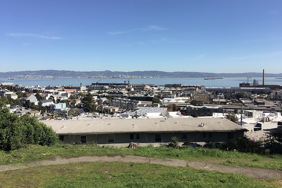
The Dogpatch and the bay from the grass of Potrero HillClyde Charles Brown, Wikimedia Commons, CC BY-SA 4.0 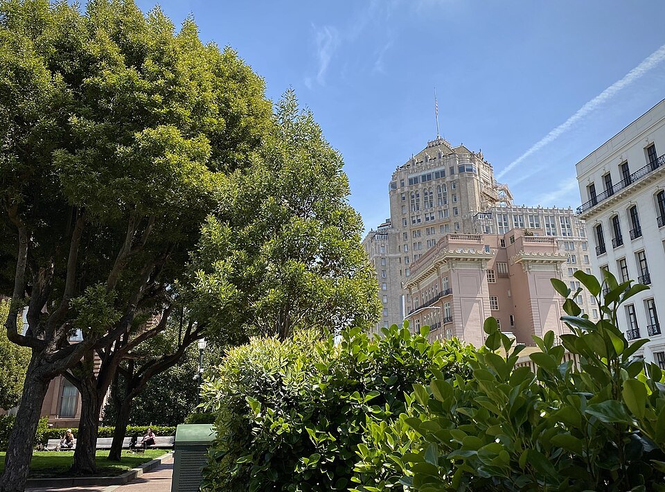
Trees and a grand old apartment building on the crest of Nob HillSharon Hahn Darlin, Wikimedia Commons, CC BY 2.0