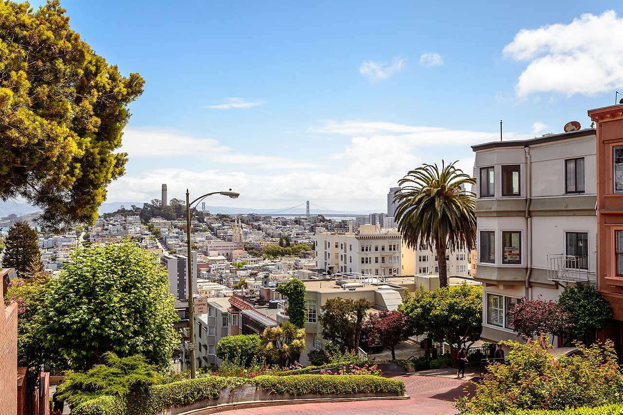
Seven by seven, and more than fifty hills
A peninsula city
San Francisco is a city and a county at once, on the northern tip of a peninsula, with the Pacific Ocean to the west, the Bay to the north and east, and the Golden Gate strait between them. About 830,000 people live here. The land part of the city is roughly a seven-by-seven-mile square, and more than fifty hills rise within it — which is why the hills get a page of their own. Most visitors fly into the main airport thirteen miles south of downtown (getting here) and get around on foot, by cable car and streetcar, and on Muni and BART. The city is a set of districts, each with its own character, which is most of where to stay.
A fort, a mission, a gold rush and a fire
Settlers from New Spain founded the Presidio at the Golden Gate and the Mission San Francisco de Asís a few miles away in 1776, on land where the Yelamu Ohlone lived; both were named for Francis of Assisi. The gold rush of 1849 made San Francisco the largest city on the West Coast. In 1906 an earthquake and the fires that followed left more than three-quarters of the city in ruins, and it was rebuilt fast enough to host a world's fair nine years later. Begin with the sights; the Bay Area beyond the city is for day trips.
The weather, the table and the street
Summer here is cool and often foggy, and September is the warmest month (when to come). Alcatraz is the booking to make first (booking ahead). The city has its own dishes, from sourdough to the Mission burrito (eating and drinking). Pick an itinerary by the length of your stay, and read street sense for the practical things visitors ask about — above all, leave nothing in a parked car.
- The Ferry Building and the Embarcadero
- Fisherman's Wharf and the Hyde Street Pier
- Alcatraz
- The Palace of Fine Arts
- The Presidio and Crissy Field
- The Golden Gate Bridge and Fort Point
- Lands End and the Sutro Baths
- Golden Gate Park
- Chinatown
- SFMOMA and Yerba Buena
- City Hall and the Civic Center
- Mission Dolores and the Mission District
- Haight-Ashbury
- The Cable Cars
- Coit Tower and Telegraph Hill
- Lombard Street and Russian Hill
- Alamo Square and the Painted Ladies
- Twin Peaks
A walk through the city
From the water to the top of Telegraph Hill and down through North Beach and Chinatown to the cable cars: six stops, one steep climb, and every step of it on foot.
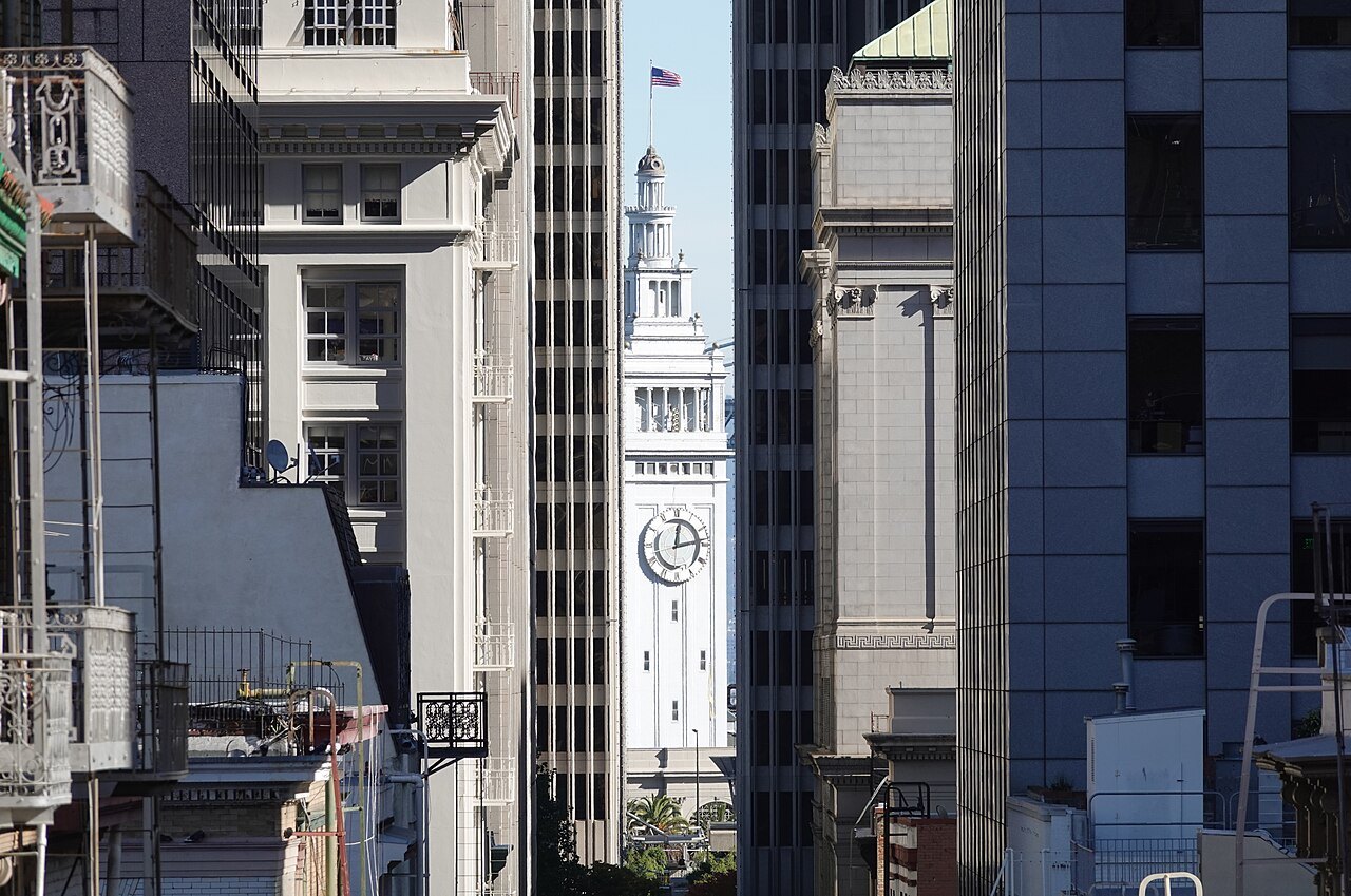
The Ferry Building's clock tower framed between downtown towers at the end of Commercial StreetIlkka Simomaa, Wikimedia Commons, CC BY 4.0 The clock tower at the foot of Market Street
Start at the Ferry Building, completed in 1898 with a clock tower 245 feet high that can be seen all the way up Market Street. It is still a ferry terminal, and inside it is now a food hall.
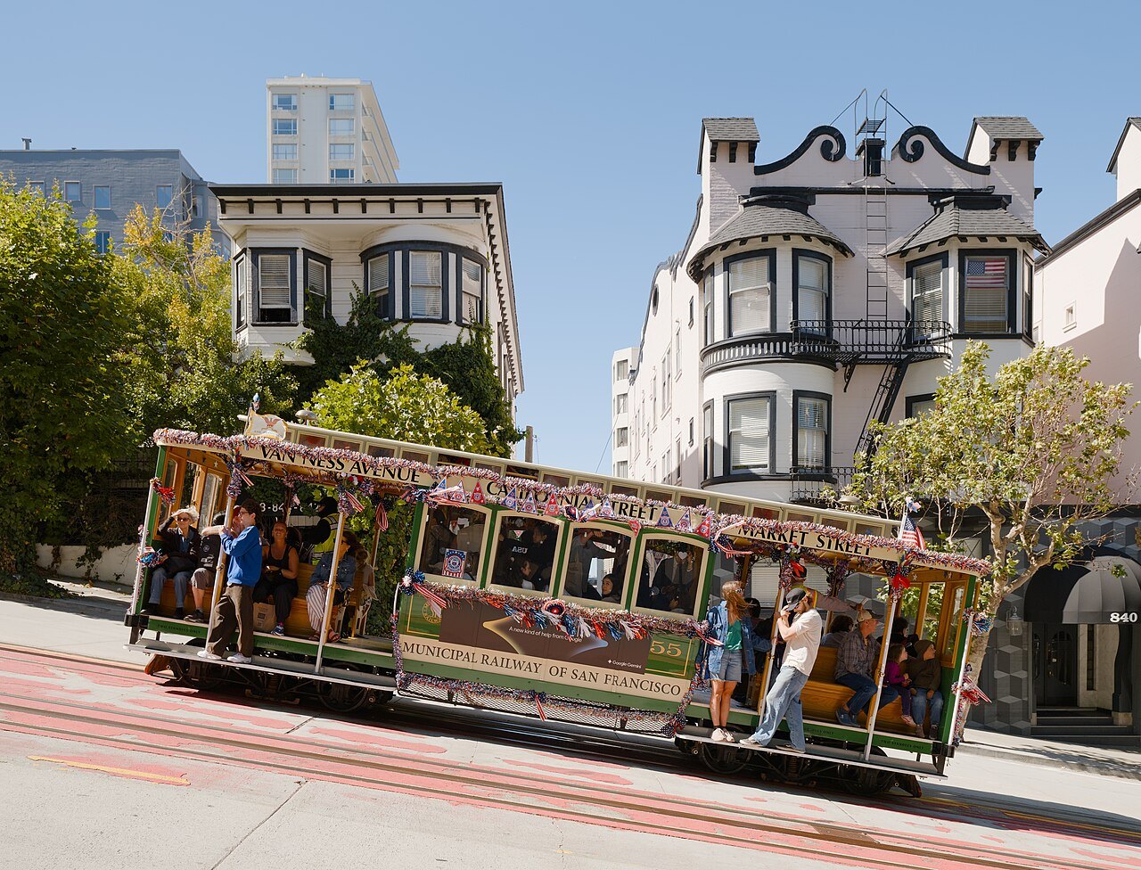
A California Street cable car, riders on its running boards, climbing past bay-windowed houses on Nob HillDaniel Lu (User:dllu), Wikimedia Commons, CC BY-SA 4.0 Four hundred wooden steps
Walk north along the Embarcadero and climb the Filbert Steps: about 400 wooden steps up the east face of Telegraph Hill, past gardens and houses that can be reached only on foot. It is the steepest part of the walk; the hills page lists the ways around it.
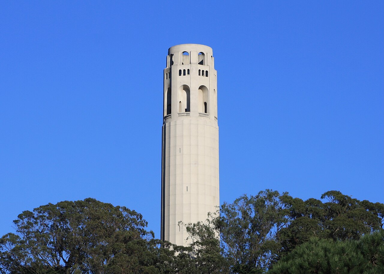
Coit Tower's fluted concrete shaft rising above the trees of Pioneer ParkRyan Schwark, Wikimedia Commons, CC0 The tower on Telegraph Hill
At the top, 285 feet above the Bay, stands Coit Tower, 210 feet of unpainted concrete built in 1933 with money left by Lillie Hitchcock Coit to beautify the city. Its lobby is painted with fresco murals by more than twenty artists. The story that it was built to look like a fire hose nozzle is only a story.
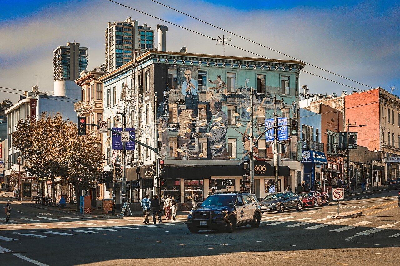
A mural-covered building on a North Beach corner, with the Financial District towers behindLigocsicnarf89, Wikimedia Commons, CC BY 4.0 Washington Square, North Beach
Walk down into North Beach, the city's Little Italy and the center of the Beat writers in the 1950s. Coit's other bequest is here: the statue of the volunteer firefighters in Washington Square.
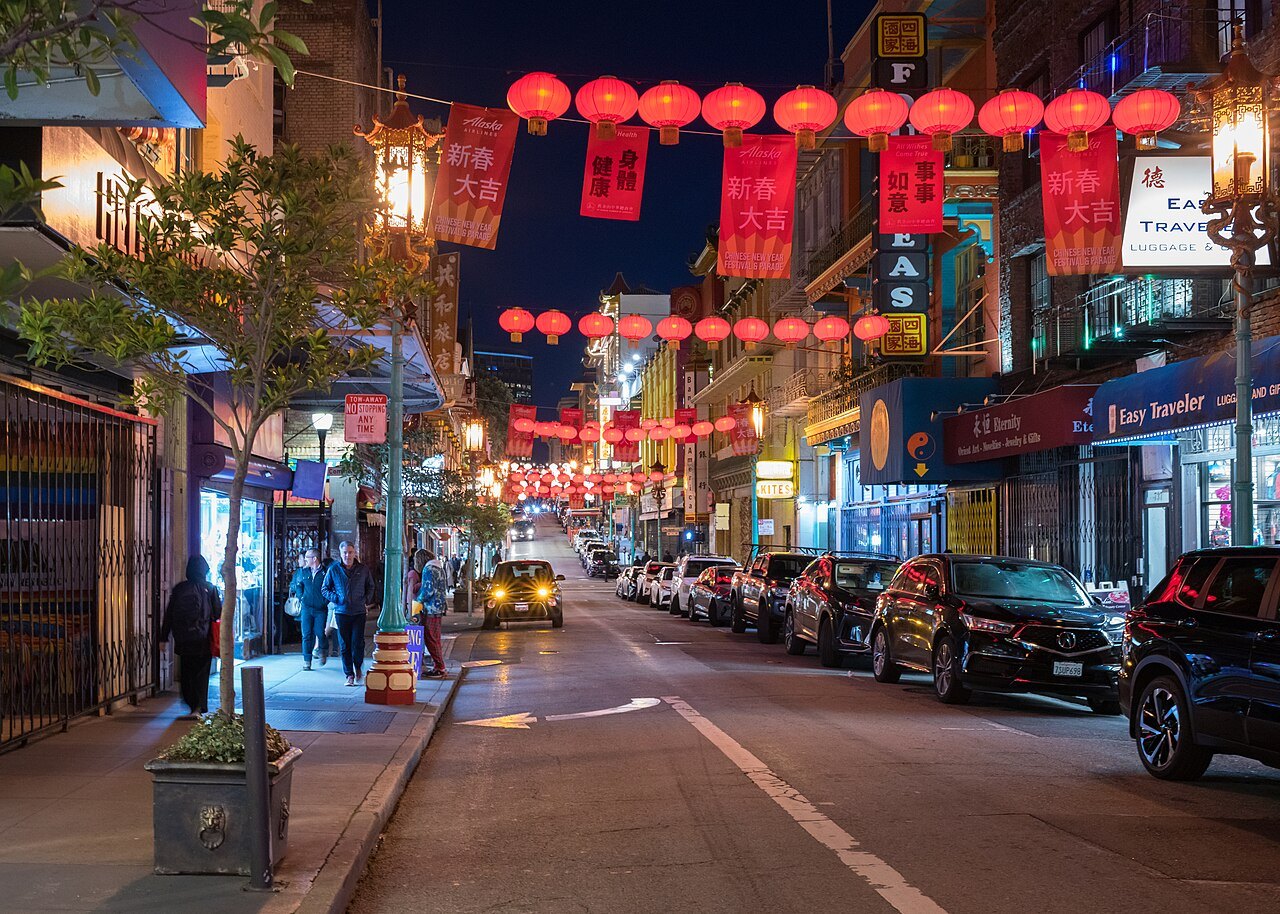
Red lanterns strung across Grant Avenue in Chinatown after darkFrank Schulenburg, Wikimedia Commons, CC BY-SA 4.0 Grant Avenue
A few blocks south, Grant Avenue runs through Chinatown, the oldest in North America, under dragon street lamps paid for in 1925. The Dragon Gate stands where Grant Avenue meets Bush Street.
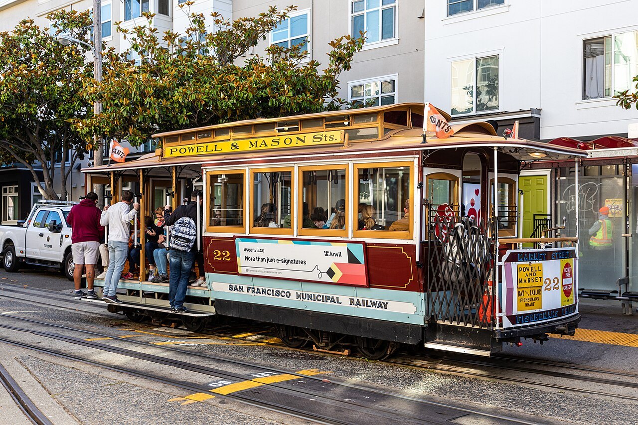
A Powell–Mason cable car at the Powell and Market turntable, riders stepping aboardDietmar Rabich, Wikimedia Commons, CC BY-SA 4.0 The turntable at Powell and Market
End at Powell and Market, where the cable cars of both Powell Street lines are turned by hand on a turntable. They are what is left of twenty-three lines built between 1873 and 1890 — the world's last manually operated system, and the easy way back up the hills.
Three things to know first
- ArrivingThirteen miles to the south.San Francisco International Airport lies about thirteen miles south of downtown, and BART runs from its own station beside the International Terminal into the city.Getting here
- The streetsWalk the flats, ride the hills.Three cable car lines still climb Nob Hill and Russian Hill; heritage streetcars run along Market Street and the waterfront; Muni's light rail and buses and BART cover the rest.Getting around
- The calendarA cool summer, a warm September.In summer, heat inland pulls fog in through the Golden Gate, and the city has the coolest summers of any major US city. September is the warmest month, October is warmer than July, and most rain falls from November to April.When to come
United States · CaliforniaAbout 830,000 peopleEnglishUS dollarFounded 1776City and county since 1856
The parts of this guide
 Eighteen places, one page eachThe SightsFrom the Ferry Building to the top of Twin Peaks: what each one is, what you see, and how steep it is.
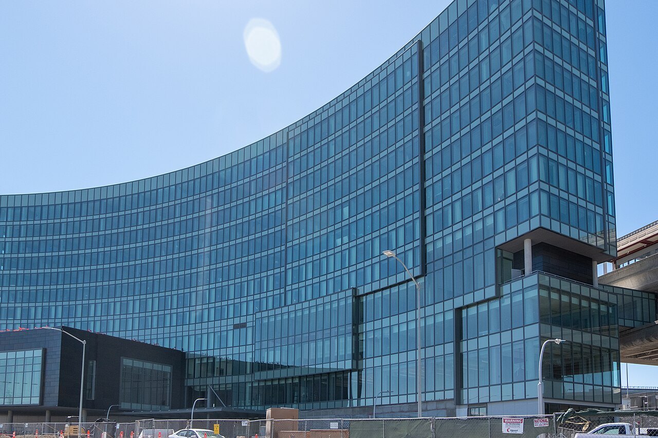 Twelve miles from the runwayGetting HereThe main airport lies south of the city with BART at its terminal; the other ways in by air, rail and road.
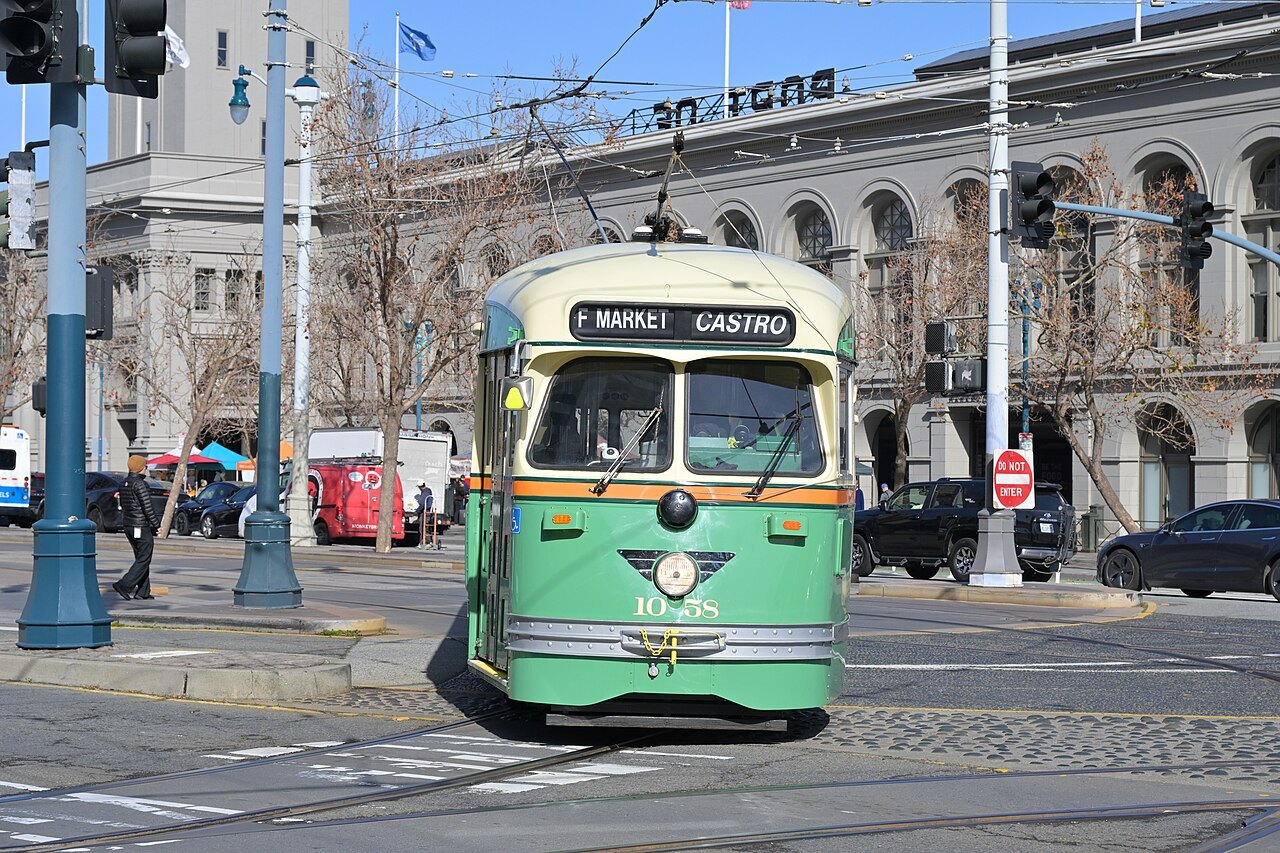 Cable cars, streetcars, Muni and your feetGetting AroundWhat the cable cars are good for, the heritage streetcars along the waterfront, Muni's buses and trains, BART, and what is simply a walk.
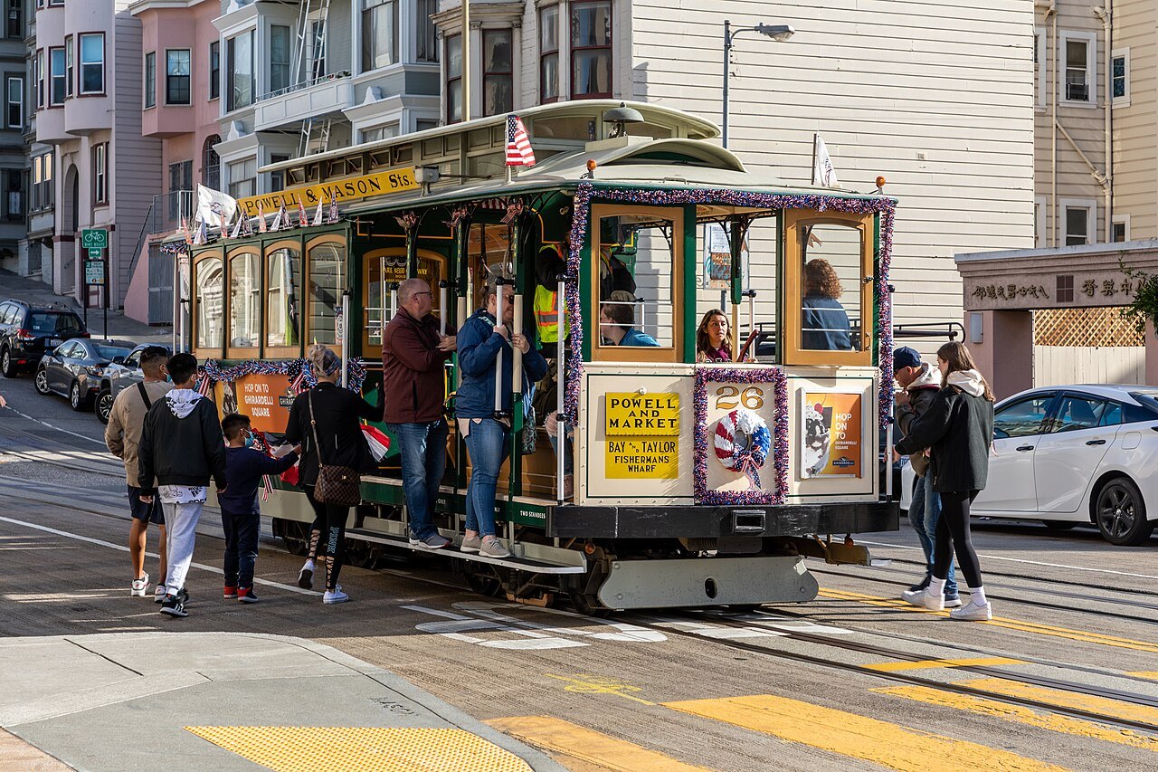 Grades, step streets and the ways upThe HillsWhich sights sit on a steep grade or at the top of a stairway, the rides that save your legs, and what the hills mean for a wheelchair or a stroller.
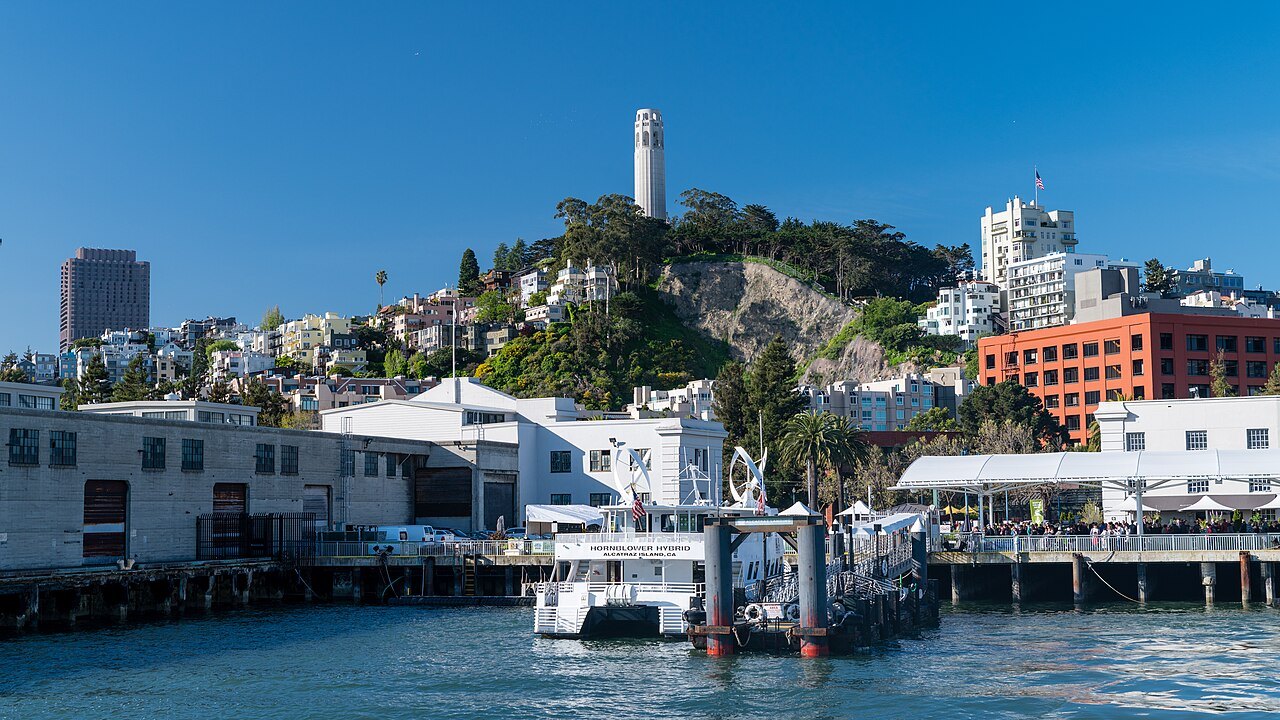 The island comes firstBooking AheadAlcatraz is reached only by boat, and its sailings are the booking to make first; what else needs a reservation, and what never does.
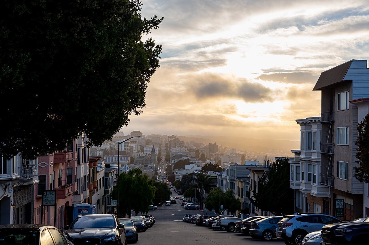 Cool summers and a warm SeptemberWhen to ComeWhy July can be cooler than October, which side of the city the fog reaches first, and the rain from November to April.
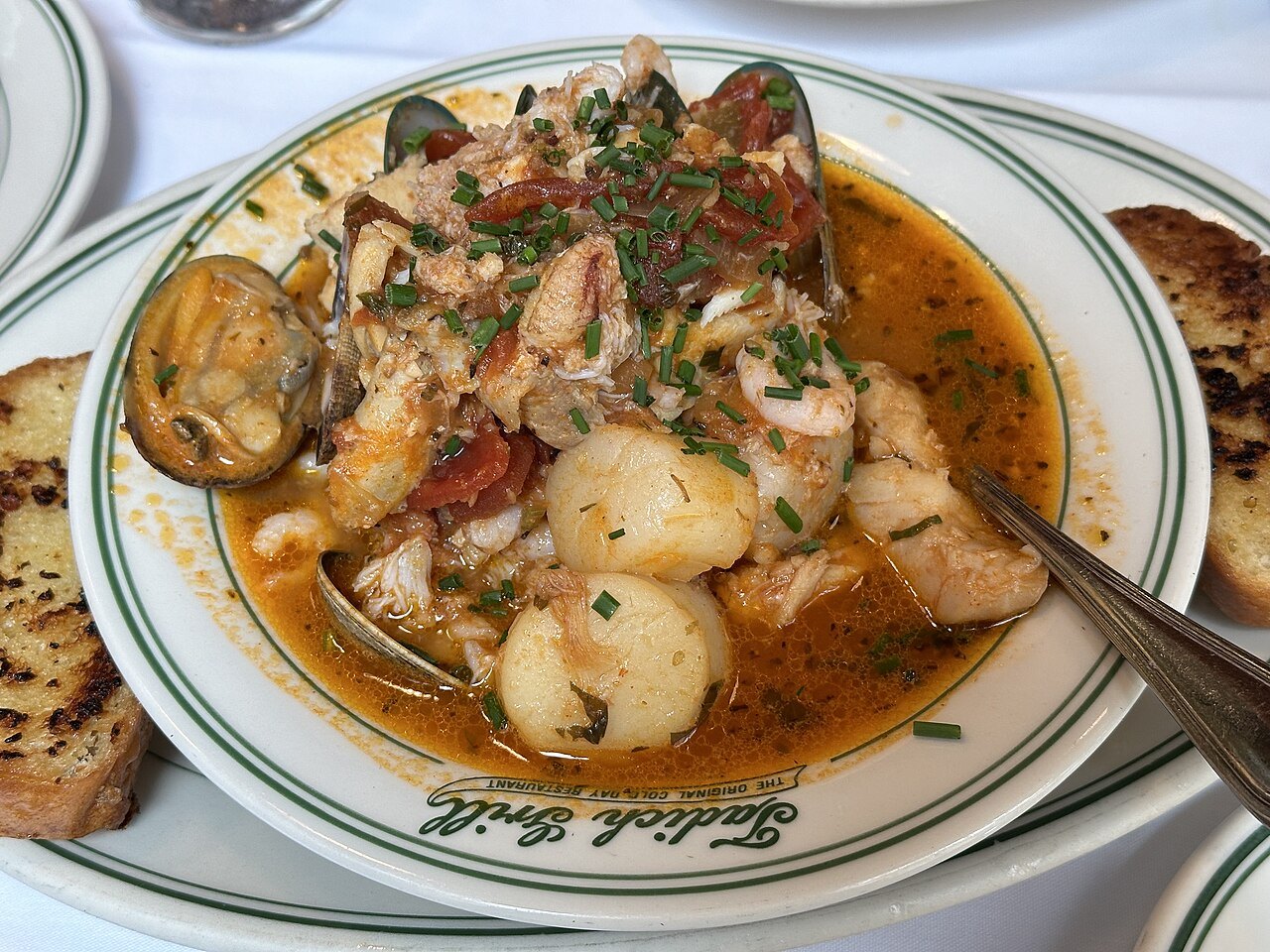 What the city put on the tableEating & DrinkingSourdough, chowder, cioppino, dim sum and the Mission burrito — where each comes from and where it is eaten.
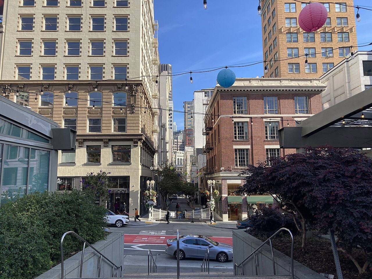 A city of districtsWhere to StayUnion Square, the waterfront, North Beach, the Marina, the Mission and the rest — each for a night or a week, drawn on a map.
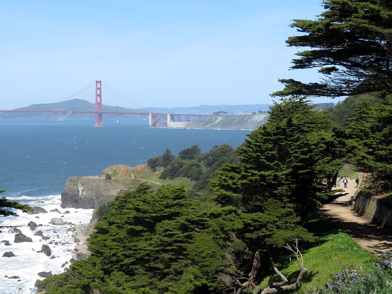 One day, three, fiveItinerariesRoutes by the length of your stay, built around the Alcatraz booking, the fog and the hills.
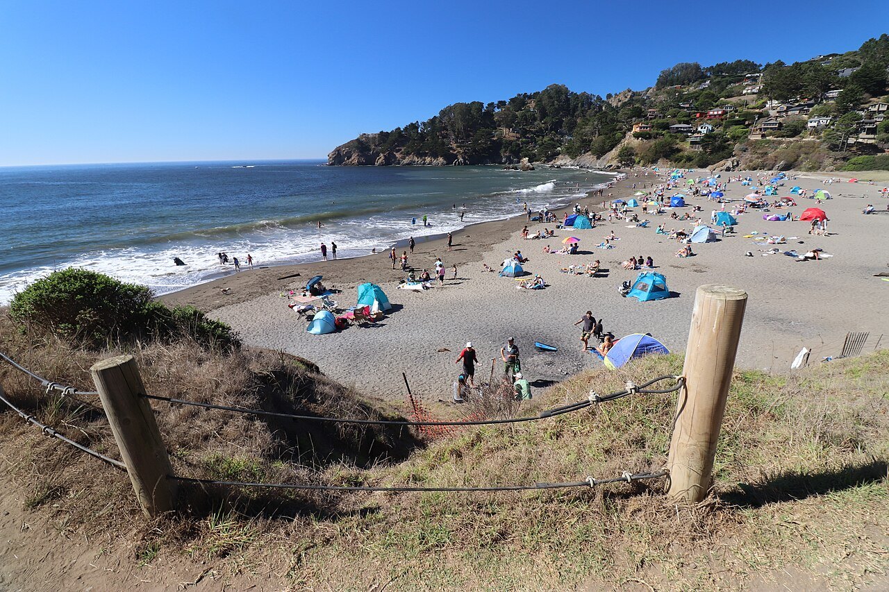 Across the bridge and the BayDay TripsSausalito, Muir Woods, Berkeley and Oakland, Angel Island and the wine valleys — each a day out of the city.
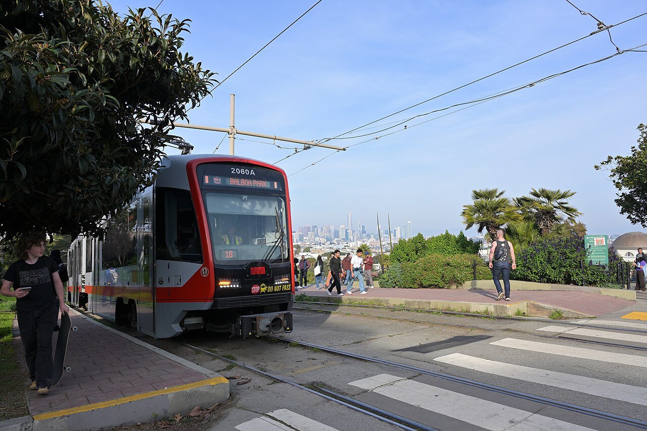 What visitors ask aboutStreet SenseLeaving nothing in a parked car, curbing your wheels on a hill, and street conditions downtown — the mechanics, and what to check, without the scare stories.
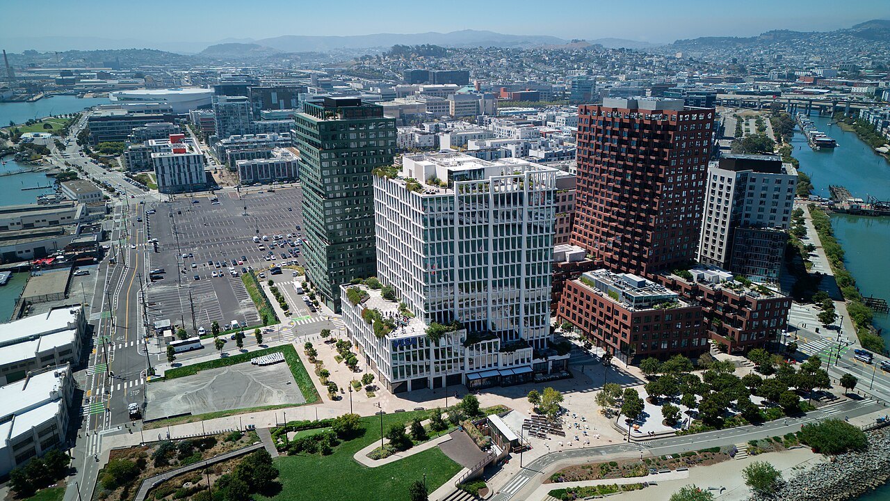 Questions answered at lengthThe JournalVisitor questions about San Francisco, answered in full, with new pieces as they are written.
All eighteen sights
The waterlinePiers, a bay island and the strait
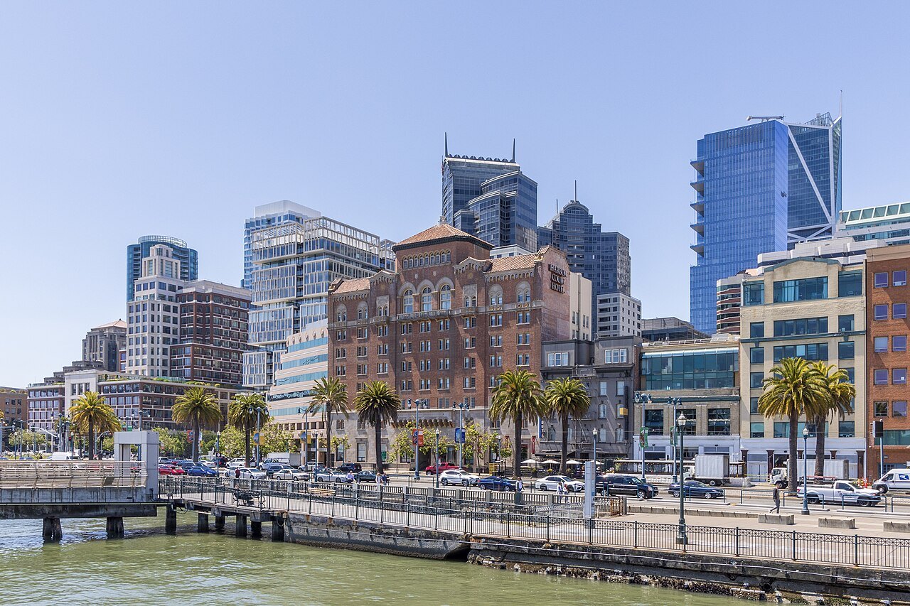 1The Ferry Building and the EmbarcaderoCompleted in 1898, with a 245-foot clock tower at the foot of Market Street.Level
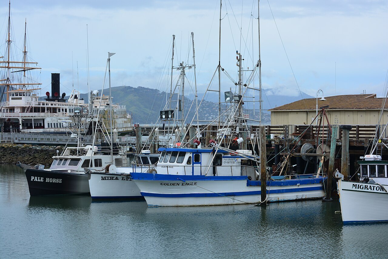 2Fisherman's Wharf and the Hyde Street PierA working fishing port turned waterfront, with historic ships at the Hyde Street Pier.Level
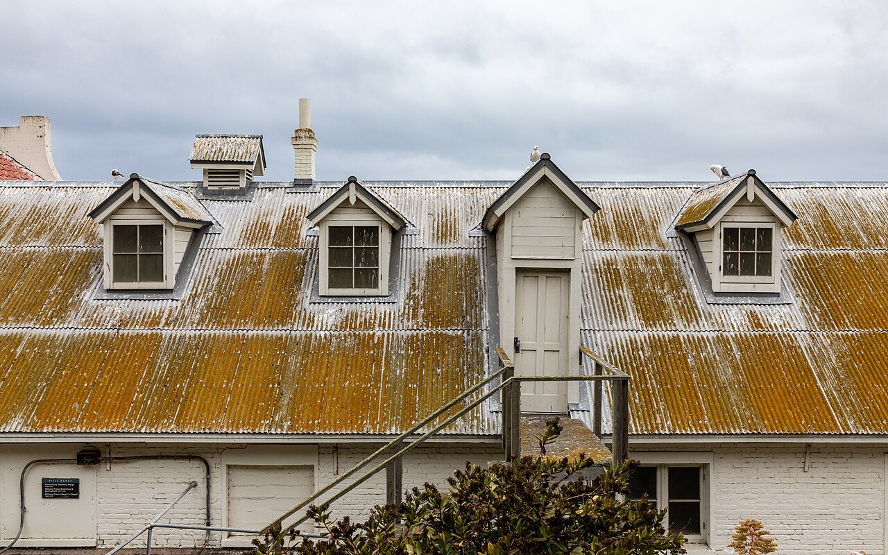 3AlcatrazA federal prison from 1934 to 1963, about a mile and a quarter offshore.Some climbing
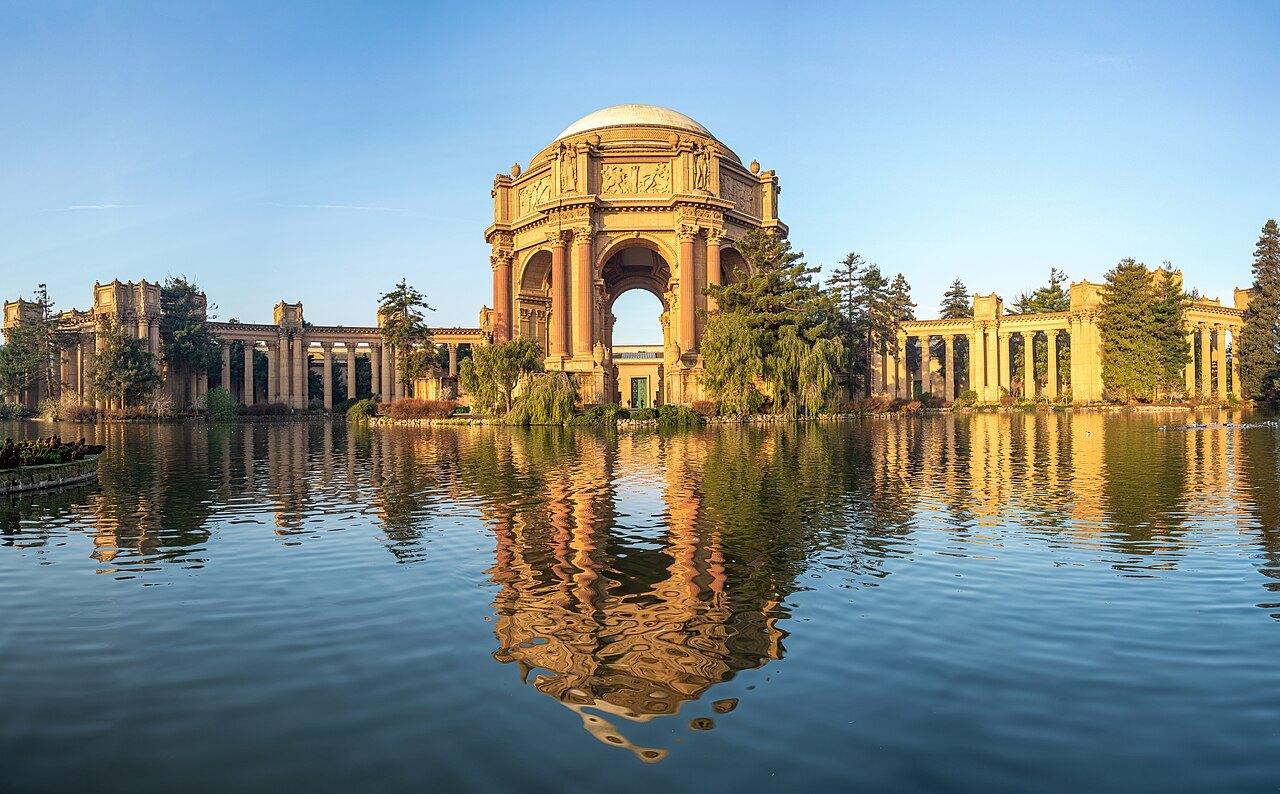 4The Palace of Fine ArtsThe one structure of the 1915 exposition still on its site, rebuilt from 1964 to 1974.Level
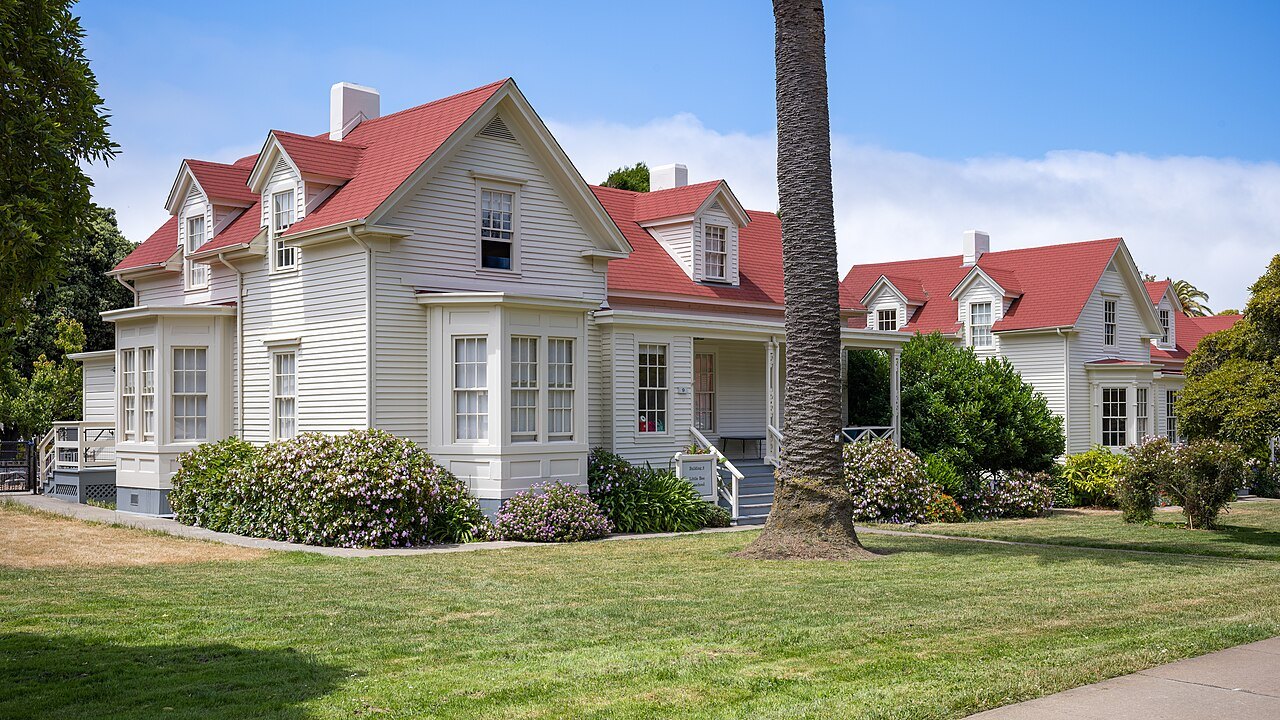 5The Presidio and Crissy FieldA Spanish fort in 1776 and an army post for 219 years, a national park since 1994.Some climbing
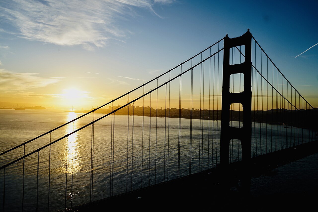
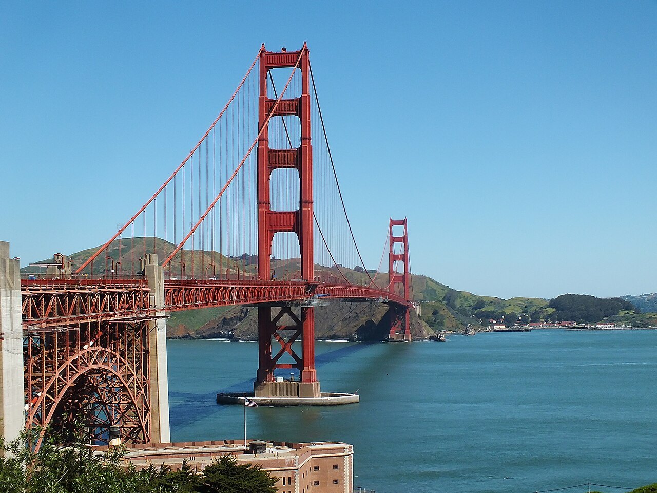 6The Golden Gate Bridge and Fort PointOpened in 1937; its towers stand 746 feet above the water.Level
The ocean edgeWhere the city meets the Pacific
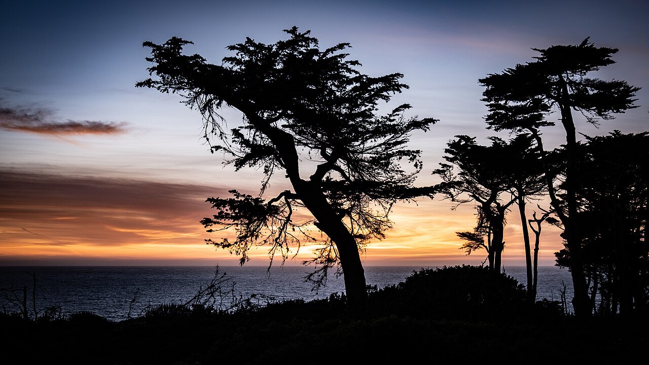
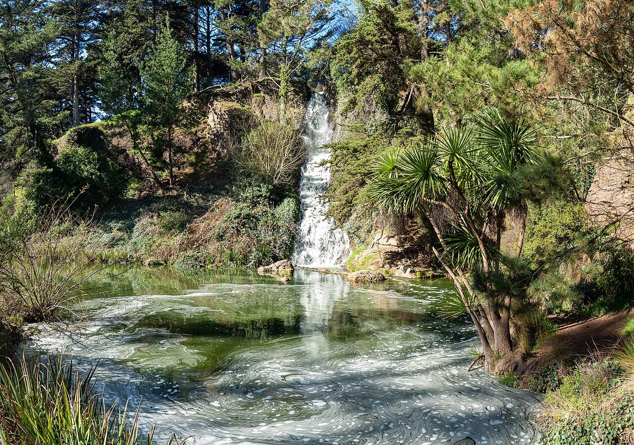
The flats and the valleysDowntown, the Civic Center, the Mission and the Haight
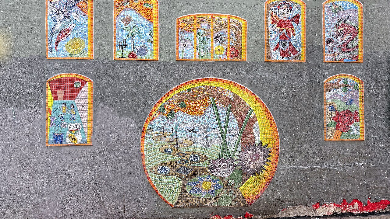 9ChinatownThe oldest Chinatown in North America, centered on Grant Avenue and Stockton Street.Some climbing
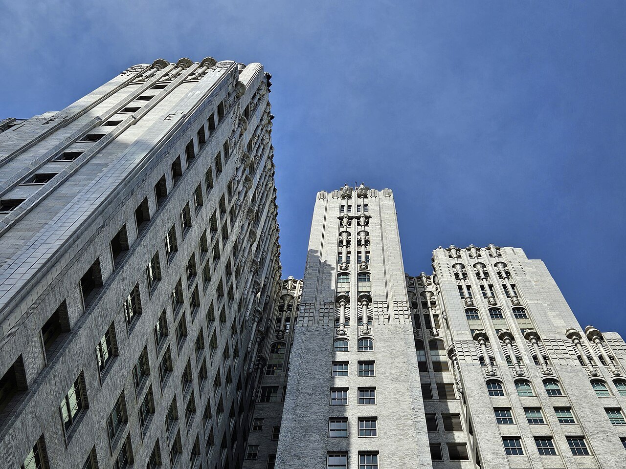 10SFMOMA and Yerba BuenaThe West Coast's first museum of 20th-century art, in SoMa since 1995.Level
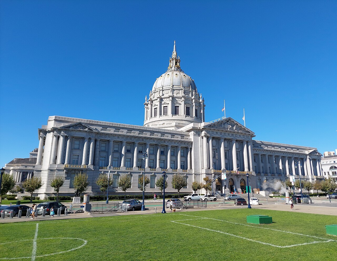 11City Hall and the Civic CenterA Beaux-Arts dome of 1915, taller than the dome of the US Capitol.Level
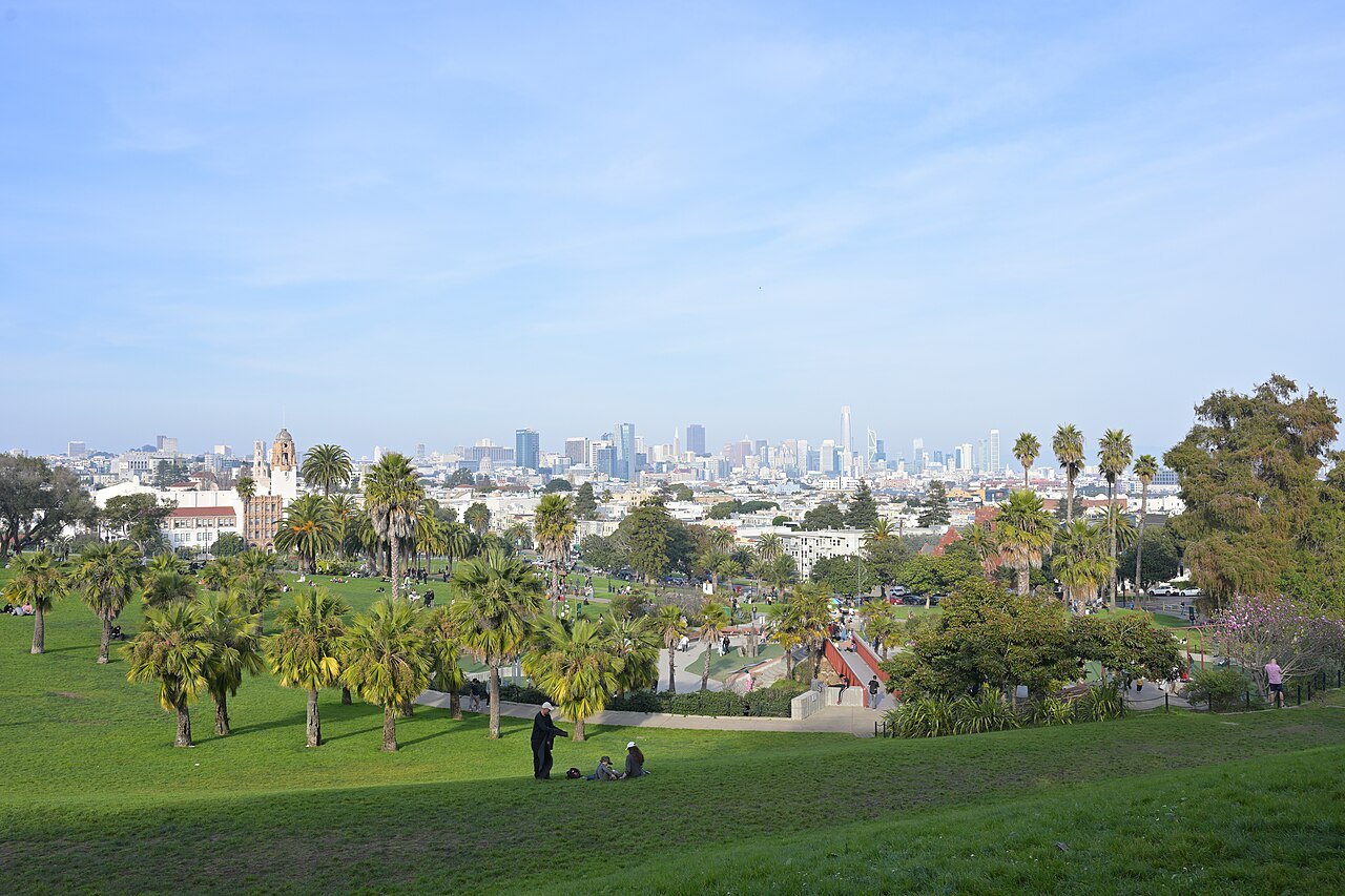 12Mission Dolores and the Mission DistrictThe adobe chapel of 1791, the oldest intact structure in the city.Level
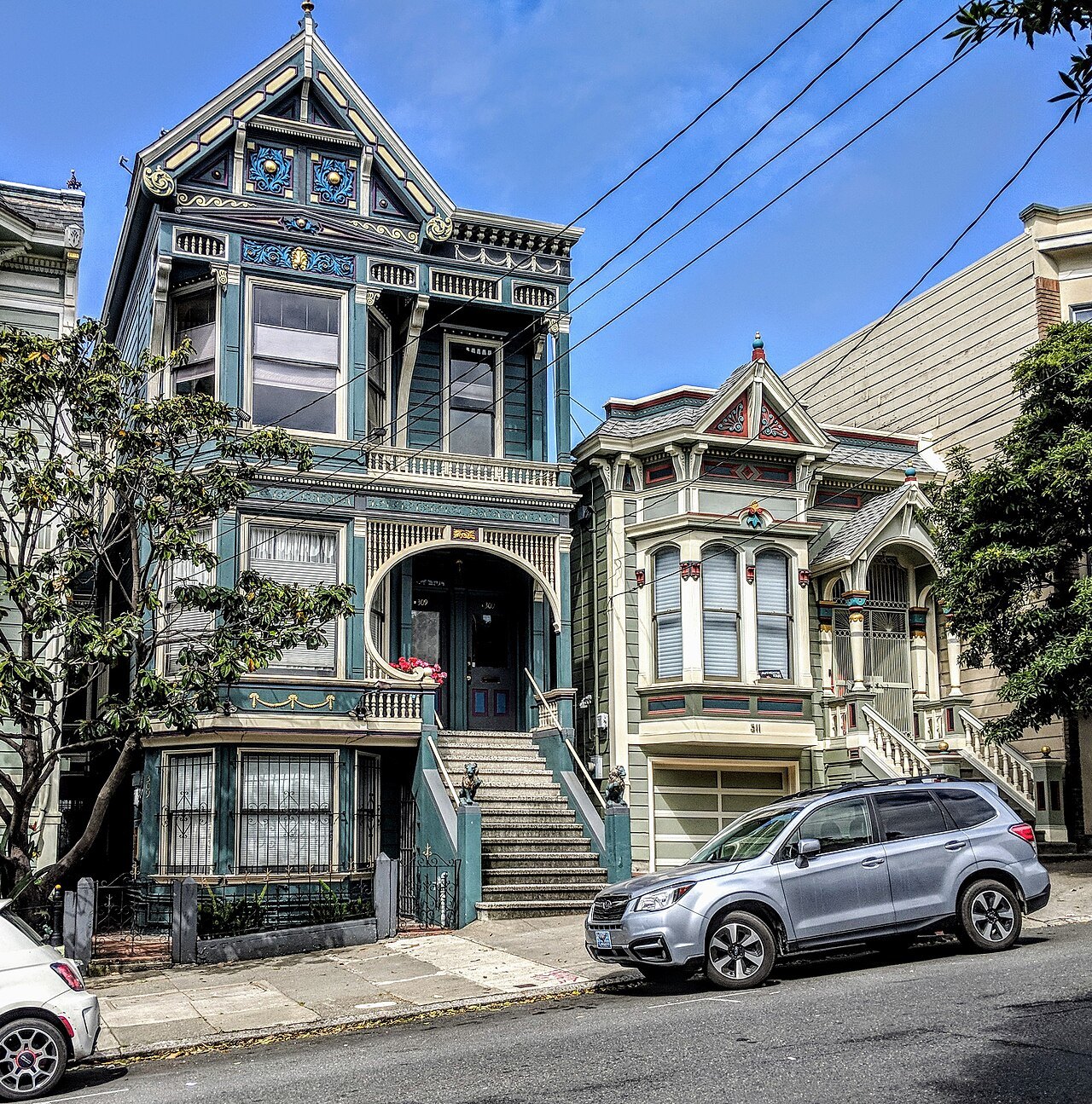 13Haight-AshburyNamed for a street corner, and one of the centers of the 1960s counterculture.Some climbing
The hillsThe climbs, and what you see from the top
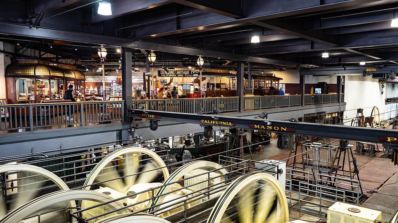 14The Cable CarsThree lines left of the twenty-three built between 1873 and 1890.Some climbing
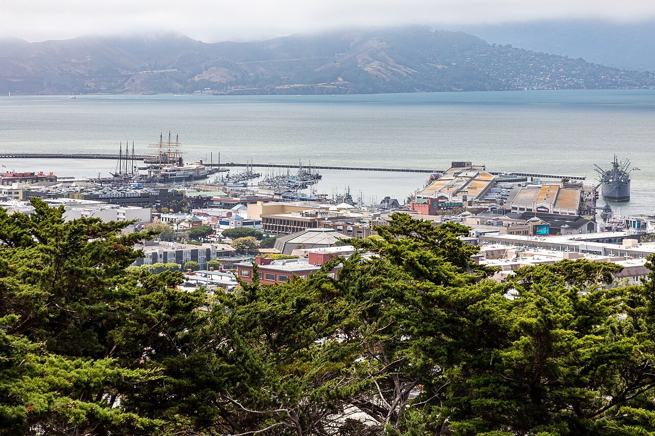 15Coit Tower and Telegraph HillA 210-foot tower of 1933 on Telegraph Hill, its lobby painted with fresco murals.Steep or many steps
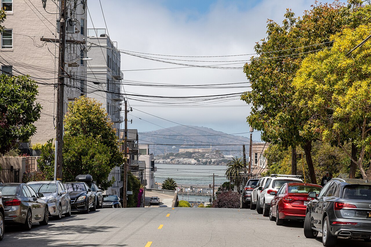 16Lombard Street and Russian HillOne block, eight hairpin turns, built in 1922 to tame a 27 percent grade.Steep or many steps
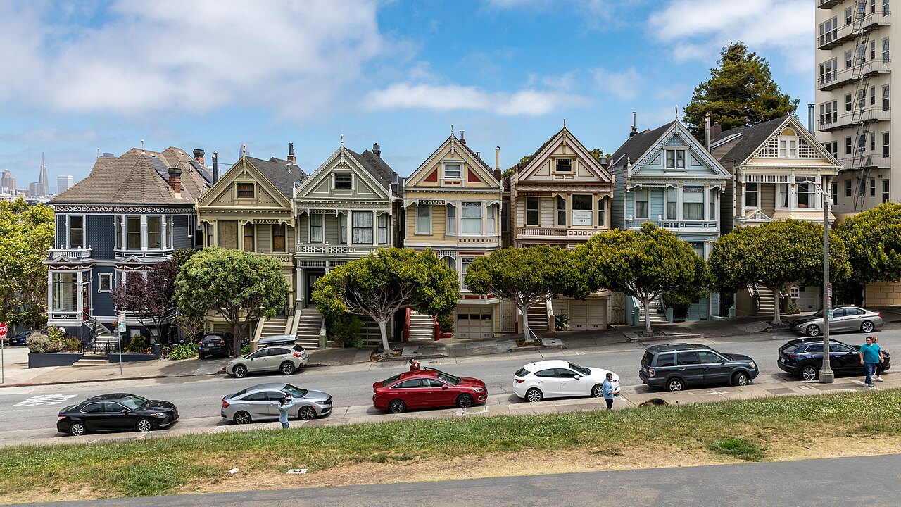 17Alamo Square and the Painted LadiesVictorian houses facing a hilltop park that looks over downtown.Some climbing
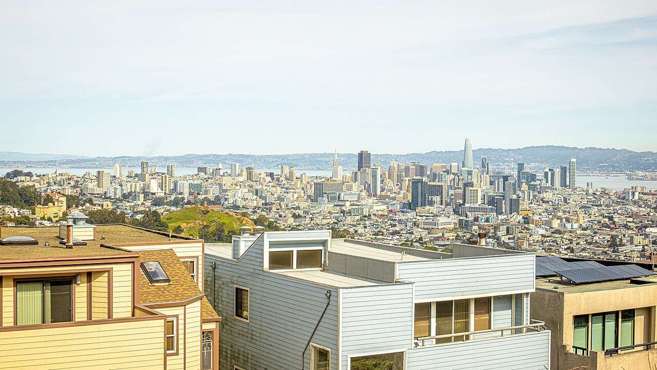 18Twin PeaksTwo summits of about 925 feet near the middle of the city.Steep or many steps