Home · Getting Here
Where each arrival puts you
By air
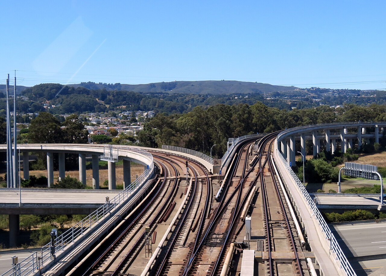
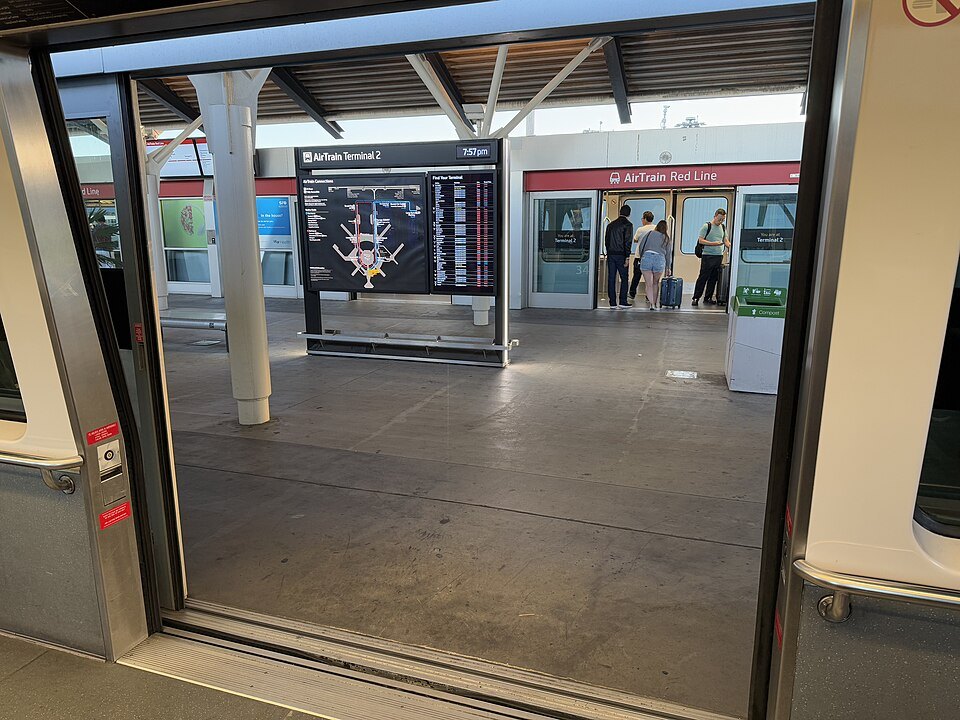
San Francisco International (SFO) is the main airport, about 12 miles south of the city in San Mateo County. BART trains leave from inside the terminals for downtown. Oakland San Francisco Bay Airport (OAK), twelve miles east across the bay, is joined to BART by an automated train.
By train
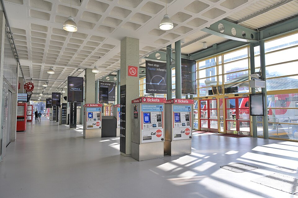
Amtrak's long-distance and intercity trains end on the east side of the bay. Caltrain, the Peninsula commuter railroad, ends in the city at Fourth and King streets, and meets BART at Millbrae.
By bus
Regional and intercity buses use the Salesforce Transit Center, a block south of Market Street downtown, with a park on its roof.
By car
Interstate 80 crosses the Bay Bridge from the east, US Route 101 comes up the Peninsula from the south and over the Golden Gate Bridge from the north, and Interstate 280 enters along the southern edge of the city.
By ship
Cruise ships dock at the James R. Herman Cruise Terminal at Pier 27 on the Embarcadero, a walk from Telegraph Hill and the waterfront.
Getting Here
The short version
San Francisco sits at the tip of a peninsula, with the ocean on one side, the bay on the other and the Golden Gate to the north, so every way in arrives from a particular direction: from the south by air and rail up the Peninsula, from the east across the Bay Bridge or under the bay by BART, and from the north over the Golden Gate Bridge. The city itself is small, about seven miles by seven, and once you are in it you will rarely need a car; see getting around.
For most visitors the whole journey is simple: fly into San Francisco International, take BART from the terminal, and step out on Market Street.
San Francisco International (SFO)
SFO is the largest airport in the Bay Area and the second busiest in California after Los Angeles. It is owned and run by the City and County of San Francisco, and it has a San Francisco mailing address, but it stands about 12 miles south of the city on the bay shore of San Mateo County. It began in 1927 as Mills Field, on a leased cow pasture, and took its present name after the city bought the land. It is a hub for United Airlines, which uses it as its main gateway across the Pacific, and for Alaska Airlines.
The International Terminal, opened in 2000, handles international flights and some domestic ones, and it houses the airport's own aviation museum and library. The domestic terminals ring the same loop of road.
From SFO into the city
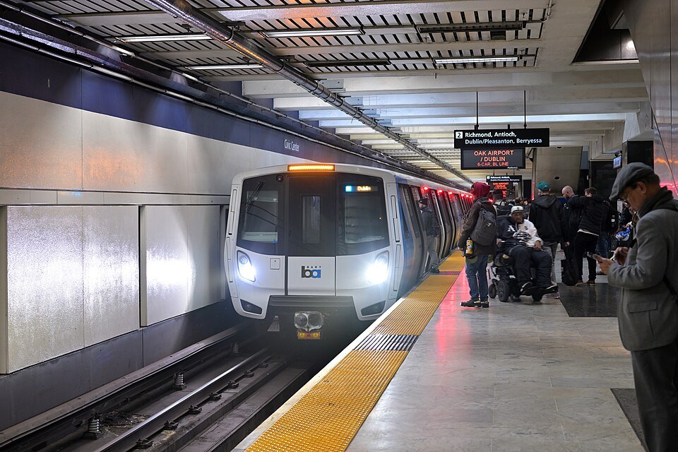
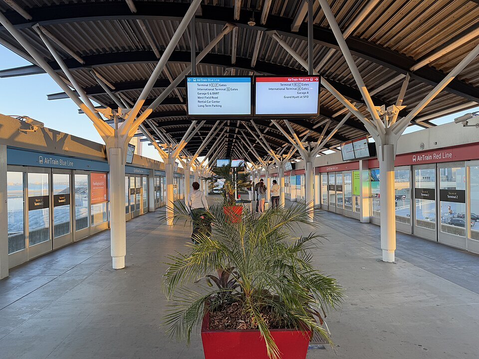
BART was extended to the airport in 2003, and its station is inside the terminal complex, so you can board a train at the International Terminal and ride directly to downtown San Francisco, with the main stations along Market Street: Civic Center, Powell Street, Montgomery Street and Embarcadero. The AirTrain, an automated people mover, links all the terminals, the parking garages, the BART station and the rental car center, and it is the way to reach BART from the domestic gates.
Most public transit in the Bay Area, BART included, can be paid for with a Clipper card, a reloadable card also available on a phone; see booking ahead. Taxis, ride-hailing cars and shuttle vans leave from the terminal curbs, and the drive up Route 101 is short when the traffic is light, which it often is not.
Oakland San Francisco Bay Airport (OAK)
Oakland's airport lies twelve miles east of San Francisco across the bay, on the East Bay shore. Owned by the Port of Oakland, it has domestic flights across the country and some international ones, and it is a base for Southwest Airlines. It has its own history: its long runway, built in 1927 for an air race to Hawaii, made it the departure point for Charles Kingsford Smith's flight to Australia in 1928 and Amelia Earhart's last flight in 1937.
From the terminal, the Oakland Airport Connector, a short automated line, runs to Coliseum station on the main BART line, where trains continue through the Transbay Tube under the bay to Market Street. It takes longer than the ride from SFO, but it is simple, with one change.
By train
Amtrak does not run into San Francisco itself. The Coast Starlight, between Seattle and Los Angeles, and the California Zephyr, from Chicago by way of Denver, stop on the east side of the bay, as do the Capitol Corridor from Sacramento and the Gold Runner from the San Joaquin Valley. From there you continue into the city by BART from a nearby station, or by a connecting bus; check your ticket for the connection before you travel.
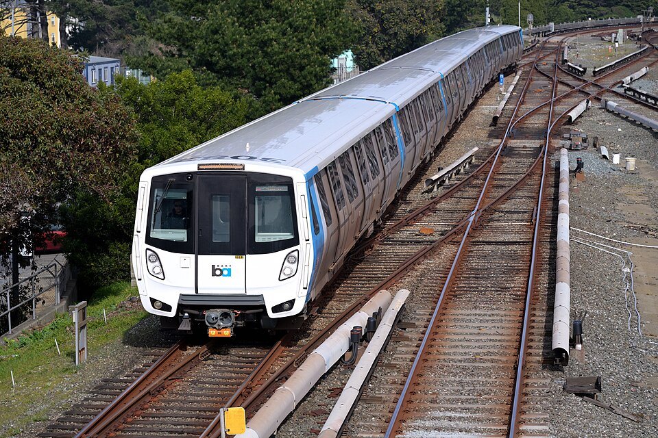
From the south, Caltrain, the commuter railroad of the Peninsula, runs from San Jose to its San Francisco terminus at Fourth and King streets, near the ballpark in SoMa, where Muni Metro trains continue into downtown. At Millbrae, Caltrain meets BART, which is the easiest link between SFO and the Peninsula towns.
By bus and by car
Regional, intercity and long-distance buses use the Salesforce Transit Center, which opened in 2018 in place of the old Transbay Terminal of 1939. The building is a block south of Market Street, has its own ramp to the Bay Bridge, and carries a park of more than five acres on its roof, open to anyone. Muni and Golden Gate Transit buses board on its ground floor, AC Transit buses from the East Bay use the bus deck above, and the Greyhound counter and waiting room are on the second floor. The building is about a quarter of a mile long, so check which level and which entrance your bus uses before you arrive.
By car, Interstate 80 crosses the Bay Bridge from the East Bay and is the only direct road link in that direction; Route 101 comes up the Peninsula from the south and continues through the city to the Golden Gate Bridge and Marin; and Interstate 280 enters along the southern edge of the city. A car is a burden once you arrive: parking is scarce and the hills are steep; see street sense before you leave anything in one.
By ship
San Francisco is a cruise port, with ships to Alaska, Mexico, Hawaii and the California coast. The James R. Herman Cruise Terminal at Pier 27, opened in 2014, replaced the older terminal at Pier 35. It stands on the Embarcadero at the foot of Telegraph Hill, so from the gangway you can walk to Coit Tower, the Ferry Building or Fisherman's Wharf, and the F-line streetcars run past the door.
Before you set out
Whichever way you come, the questions that matter are the same: which terminal and which station, whether your card or ticket covers the whole journey, and where you are staying in relation to Market Street and the BART line. Look at where to stay before you book a room, and at when to come before you pack: the city is often cool and foggy in summer, and the air on the bridges and the waterfront is colder than you expect.
Some links on this page are affiliate links. If you book through one we may earn a commission, at no extra cost to you. It does not affect what is recommended here, and no sight page on this site carries one.
Arranged before you land:
More photographs
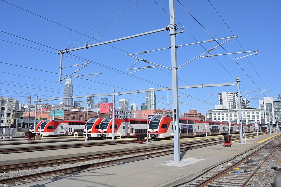
Red-and-white electric Caltrain trains at Fourth and King, downtown towers behind4300streetcar, Wikimedia Commons, CC BY 4.0 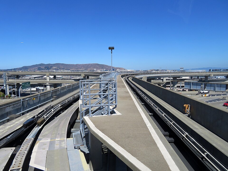
The AirTrain's elevated guideway at SFO, the hills beyondPi.1415926535, Wikimedia Commons, CC BY-SA 3.0 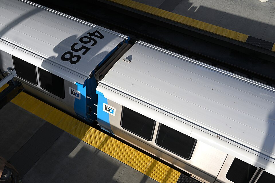
A BART train at Millbrae seen from the footbridge overhead4300streetcar, Wikimedia Commons, CC BY 4.0