Home · Getting Around
Seven ways to move
On foot
Downtown, Chinatown, North Beach, the Embarcadero and the Mission are compact and best seen walking. The hills between them are the thing to plan around; see the hills page.
Cable cars
Three lines survive: Powell–Hyde and Powell–Mason from the turntable at Powell and Market, and the California Street line. They climb the steepest routes downtown.
Muni Metro and the F-line
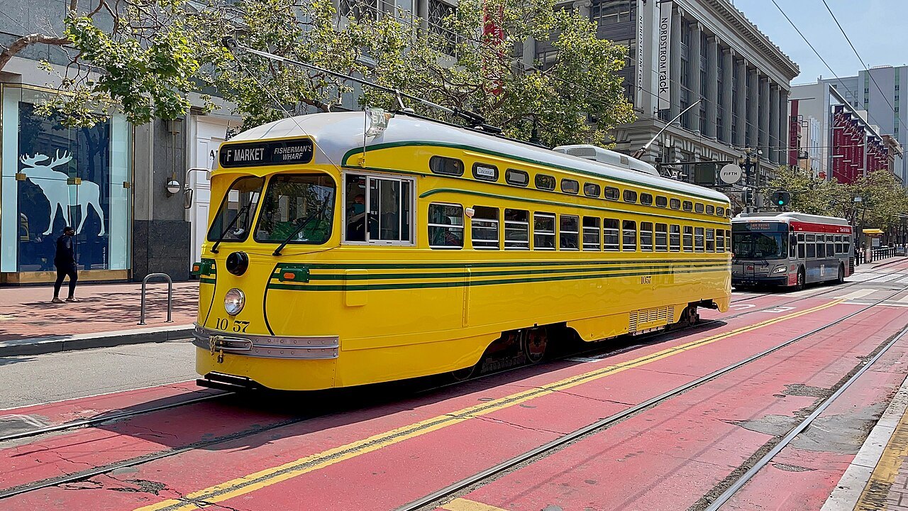
Light rail lines run under Market Street and out to the western neighborhoods. The F-line's historic streetcars run along Market Street and the Embarcadero to Fisherman's Wharf.
Muni buses
Buses and electric trolleybuses cover the whole city, including Golden Gate Park, the Presidio, Haight Street and the ocean shore.
BART
The regional subway runs under Market Street, then south through the Mission to the airport, and east under the bay to Oakland and Berkeley.
By bike
Bay Wheels bike share covers much of the city, and protected bike lanes are spreading. The waterfront, the park and the bridge are the easy rides.
Ferries
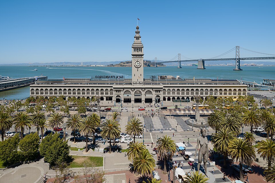
Ferries leave the Ferry Building and the piers for the towns around the bay and for Alcatraz; see the day trips page.
Getting Around
How the city fits together
San Francisco covers about forty-seven square miles, roughly seven miles by seven, and most of what visitors come to see lies in its northeastern quarter, between Market Street, the Embarcadero, Fisherman's Wharf and the Golden Gate. Market Street is the spine: it runs diagonally from the Ferry Building southwest toward Twin Peaks, and nearly every transit line in the city either runs along it or crosses it.
The one thing that makes getting around here unlike other cities is the hills. Two points half a mile apart on the map may be separated by a climb as steep as a staircase. Plan your walks around the grades, not the distances, and read the hills before you set out.
Walking
Many of the best parts of the city are compact and fairly level: the Embarcadero waterfront, Market Street, Union Square, the Civic Center, SoMa, the Mission, and the flats of the Marina and Crissy Field. Chinatown and North Beach are close together and mostly gentle, though both sit at the foot of steep hills. Walking is also the only way to see the stairways, gardens and alleys that the streets bypass, such as the Filbert Steps on Telegraph Hill.
The catch is the climbs. Nob Hill, Russian Hill and Telegraph Hill rise abruptly from downtown and the waterfront, and routes that look direct on a map can go straight over them. Wear shoes with grip, carry a layer, and use transit to reach the top of a hill and walk down.
The cable cars
The cable cars are the world's last manually operated cable car system and a National Historic Landmark, and they are also working public transit. Three lines survive. The Powell–Hyde and Powell–Mason lines share a route from the turntable at Powell and Market streets north and steeply uphill over Nob Hill, then divide: the Powell–Hyde line crosses Russian Hill and drops to Aquatic Park near the Hyde Street Pier, and the Powell–Mason line runs down to Bay Street near Fisherman's Wharf. The cars are turned by hand on turntables at each end.
The California Street line runs east–west over Nob Hill from the Financial District, with double-ended cars that need no turntable. It is usually the least crowded of the three. See the cable cars for their history and how to ride them.
Muni Metro and the F-line
Muni, the city's transit agency, runs the buses, the cable cars and the light rail. Five Muni Metro lines, the J, K, L, M and N, run on the surface through the western and southern neighborhoods and merge into the Market Street subway downtown, where they share stations with BART. The N Judah runs along the south side of Golden Gate Park toward the ocean, and the J Church passes Mission Dolores Park. The T Third Street line runs south along the bayfront and, through the Central Subway opened in 2022, north to Chinatown.
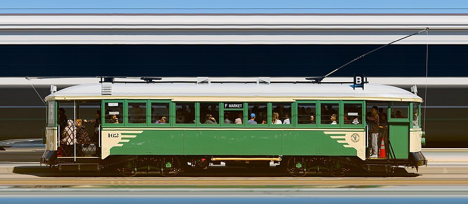
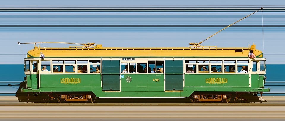
The F Market and Wharves line is something else: a heritage streetcar service using restored cars from San Francisco's old fleet and from cities around the world. It runs from the Castro down Market Street to the Ferry Building, then north along the Embarcadero to Fisherman's Wharf, and it charges the standard Muni fare, not the cable car fare. It is one of the most pleasant rides in the city.
Buses and BART
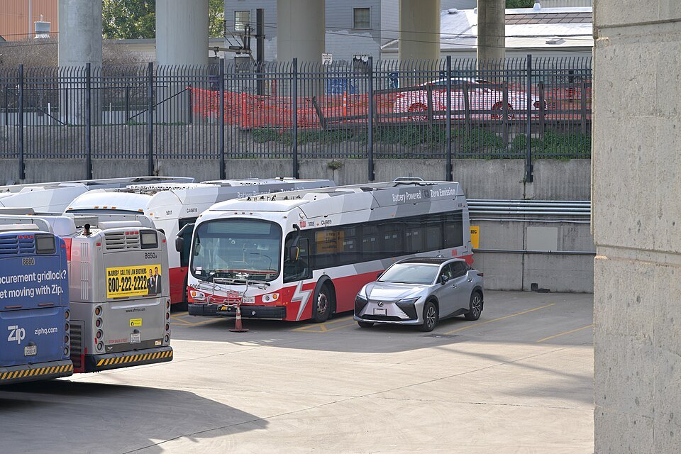
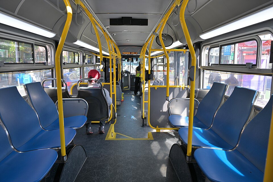
Muni's buses, many of them electric trolleybuses on overhead wires, cover the whole city and reach the places the rails do not, including the Presidio, Haight Street, Golden Gate Park, Lands End and the ocean shore. Routes along Geary Boulevard and Fulton Street cross the city east to west.
BART, the regional rapid transit system, is less useful within the city than across the region. It runs under Market Street, with stations at Embarcadero, Montgomery Street, Powell Street and Civic Center, then south through the Mission, with stations at Sixteenth and Twenty-Fourth streets, and on to the airport. Eastbound, it crosses under the bay through the Transbay Tube.
Paying and planning
Most public transit in the Bay Area, Muni, BART, the cable cars and the ferries included, can be paid with a Clipper card, a reloadable card also available on a phone. Muni also sells visitor passes called Passports, good on all its regular lines, the cable cars included, without a surcharge; see booking ahead for what is worth buying before you arrive. On Muni, proof of payment may be checked by fare inspectors at any time, so keep your card or ticket with you until the end of the ride.
Transit apps and the agencies' own sites show routes and live arrivals. Check them before you ride, especially on routes that climb the hills, where a missed connection may mean a long walk uphill.
Accessibility
Of Muni Metro's 117 stations, 63 are accessible; most of the rest are surface stops on the outer lines. Every BART station has accessible elevators and every BART train has dedicated spaces for wheelchair users. At some BART stations the platform elevator opens outside the fare gates, so passengers using it pass through the gate by the station agent's booth; the agent can help. The cable cars, with their running boards and high steps, are not equipped with accessible boarding, according to the transit agency. If the grades are a concern, favor the level waterfront routes and ask the transit agencies about step-free options before you travel, and check the grade marks on each sight in the guide, which say which ones involve steep streets or long flights of steps.
Driving and taxis
You can see almost all of the city without a car, and a car is often a burden once you are here: parking is scarce downtown, the hills demand care with hand brakes and curbed wheels, and cars left on the street are a target for break-ins; see street sense. A car becomes useful for trips beyond the city, to the redwoods, the wine valleys or the coast; see day trips. Taxis and ride-hailing cars are easy to find in the central districts and are a sensible answer to the steepest climbs.
Some links on this page are affiliate links. If you book through one we may earn a commission, at no extra cost to you. It does not affect what is recommended here, and no sight page on this site carries one.
For the days you leave the city, and the hours between check-out and a flight:
More photographs
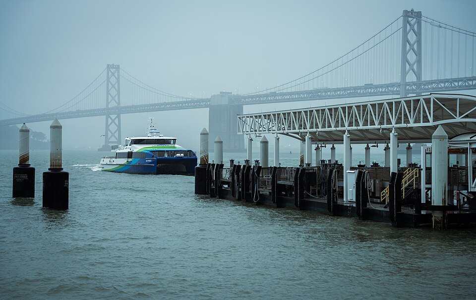
A ferry leaving the Ferry Building's landings, the Bay Bridge in the mistusepagov, Wikimedia Commons, Public domain 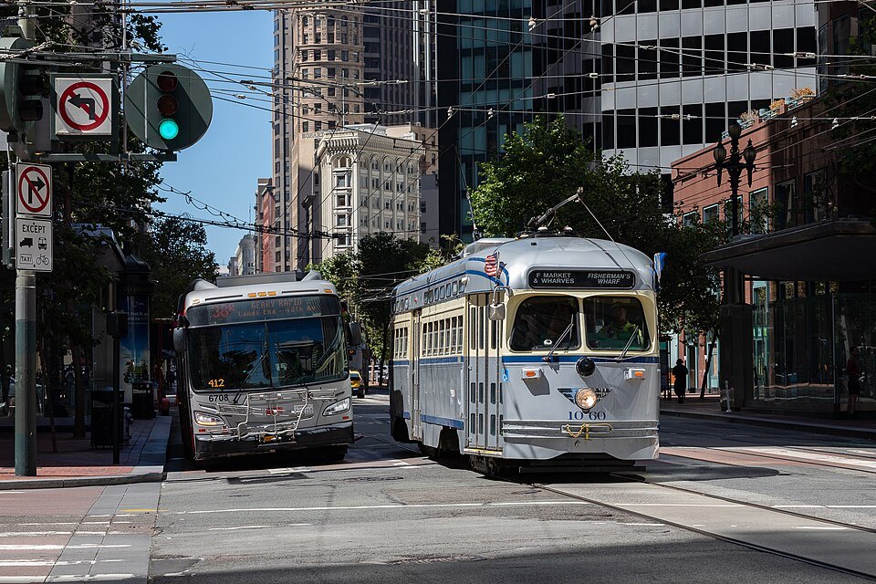
A heritage streetcar and a bus side by side on the EmbarcaderoThejudahrice, Wikimedia Commons, CC BY-SA 4.0 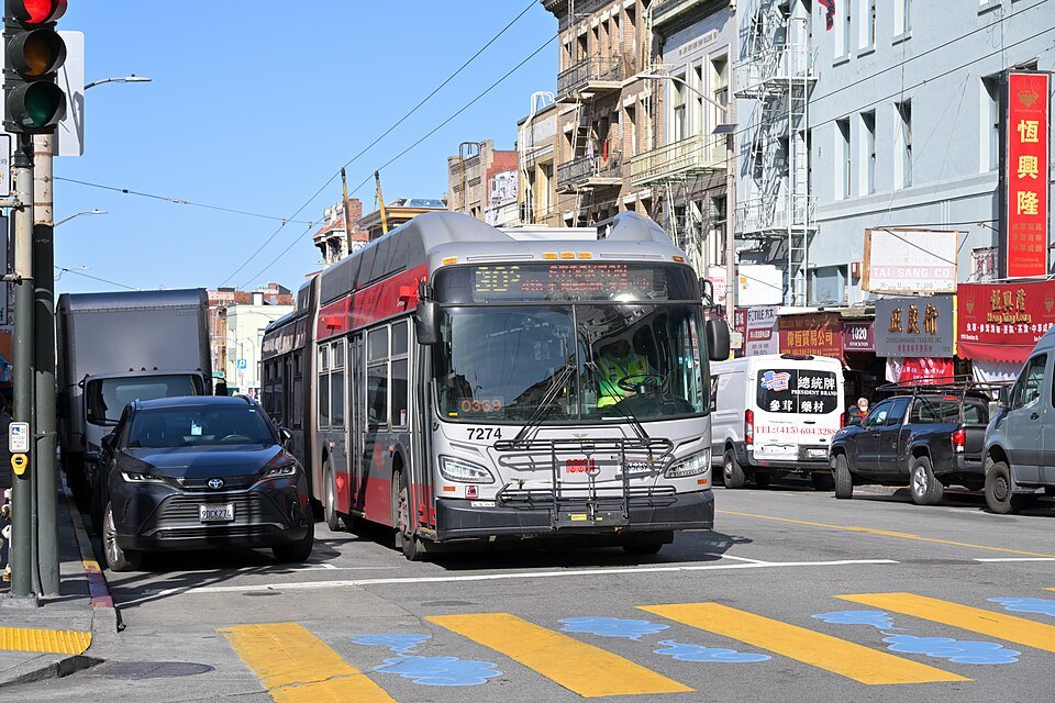
An electric trolleybus crossing a Chinatown intersection4300streetcar, Wikimedia Commons, CC BY 4.0