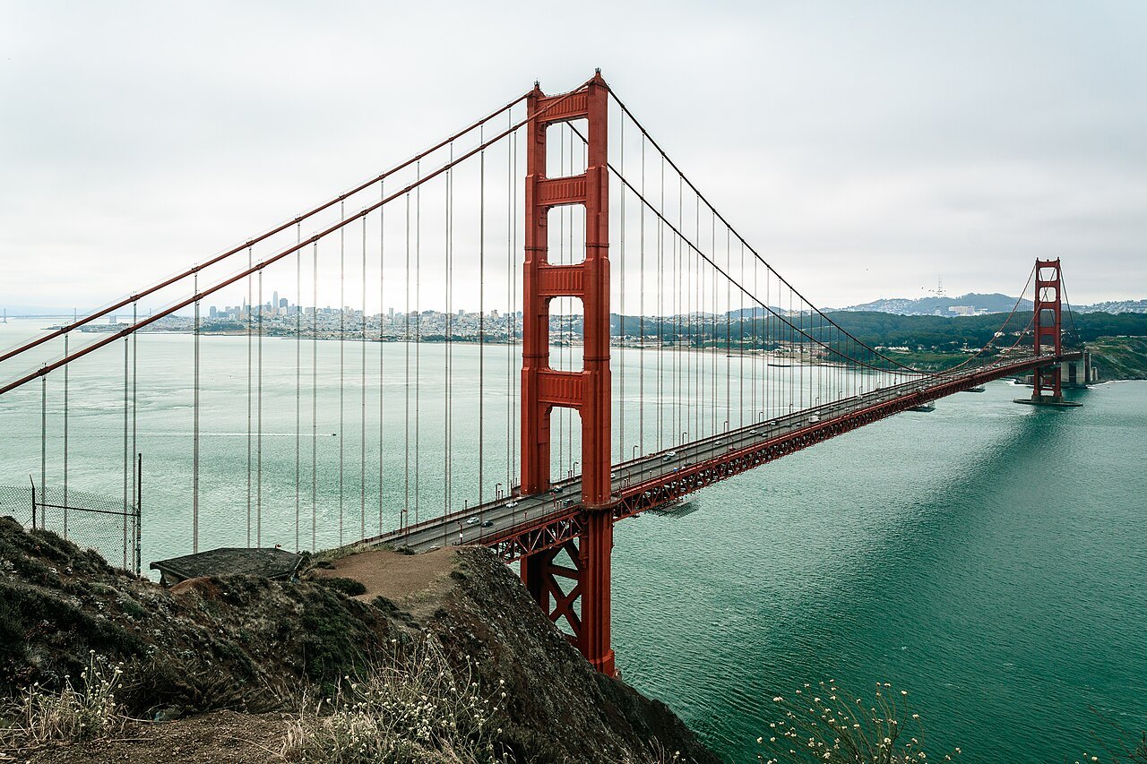
Home · Sights · The Golden Gate Bridge and Fort Point
The Golden Gate Bridge and Fort Point
Level
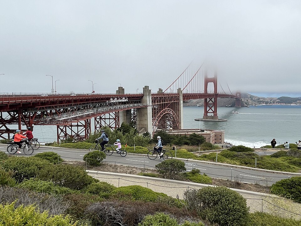
- 1The towersTwo Art Deco towers rising 746 feet above the water, shaped and detailed by the architect Irving Morrow.
- 2The main span4,200 feet between the towers, the longest suspension span in the world until 1964.
- 3The east walkwayA sidewalk on the bay side of the deck, walked from the San Francisco end toward Marin.
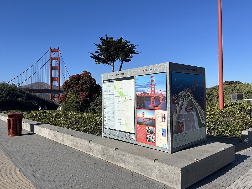
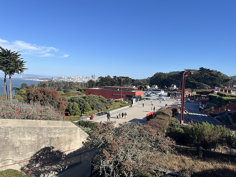
- 4The Welcome CenterA visitor center at the San Francisco end beside the southeast parking lot, opened in 2012.
- 5The arch over Fort PointA steel arch carrying the roadway over the old fort, so that the fort did not have to be demolished.
- 6Fort PointA brick fort of the 1850s at the water's edge, with tiers of casemates facing the strait.
Reading the place
Why it matters
The Golden Gate Bridge crosses the Golden Gate, the strait about a mile wide where San Francisco Bay meets the Pacific Ocean, and joins the tip of the San Francisco peninsula to Marin County. It is the single image most people carry of the city, and the American Society of Civil Engineers counts it among the Wonders of the Modern World. It opened to the public on May 27, 1937. At the time it was both the longest and the tallest suspension bridge in the world: its main span is 4,200 feet between the towers, and the towers stand 746 feet above the water.
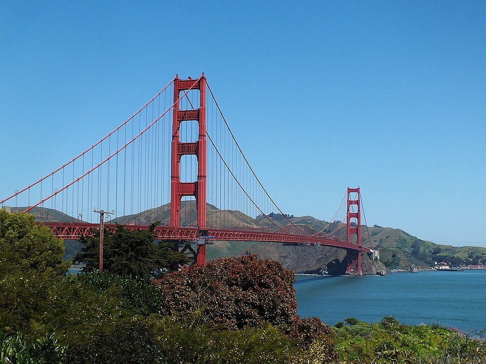
Before the bridge, the only practical way from the city to Marin was by boat, and San Francisco was the largest American city still served mainly by ferries. Experts doubted a bridge could stand in the strait at all, with its fast, swirling tides, water 372 feet deep in the middle of the channel, strong winds and the fog.
Who designed it
The bridge is usually credited to its chief engineer, Joseph Strauss, and for decades he made sure of that. His own first design, two massive cantilevers joined by a short suspension section, was rejected as ugly. The suspension design that was built came from Leon Moisseiff, engineer of the Manhattan Bridge, and much of the technical and mathematical work was done by the senior engineer Charles Alton Ellis, whom Strauss fired in 1931 and who kept working on the calculations unpaid. In 2007 the bridge district formally gave Ellis major credit for the design.
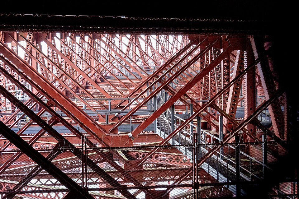
The look of the bridge belongs to Irving Morrow, a little-known residential architect. He shaped the towers, the Art Deco detailing, the lamps, the railings and the walkways, and he chose the color, International Orange, over alternatives that included the Navy's suggestion of black and yellow stripes. The color was picked to sit well against the headlands and to keep the bridge visible in fog.
Building it
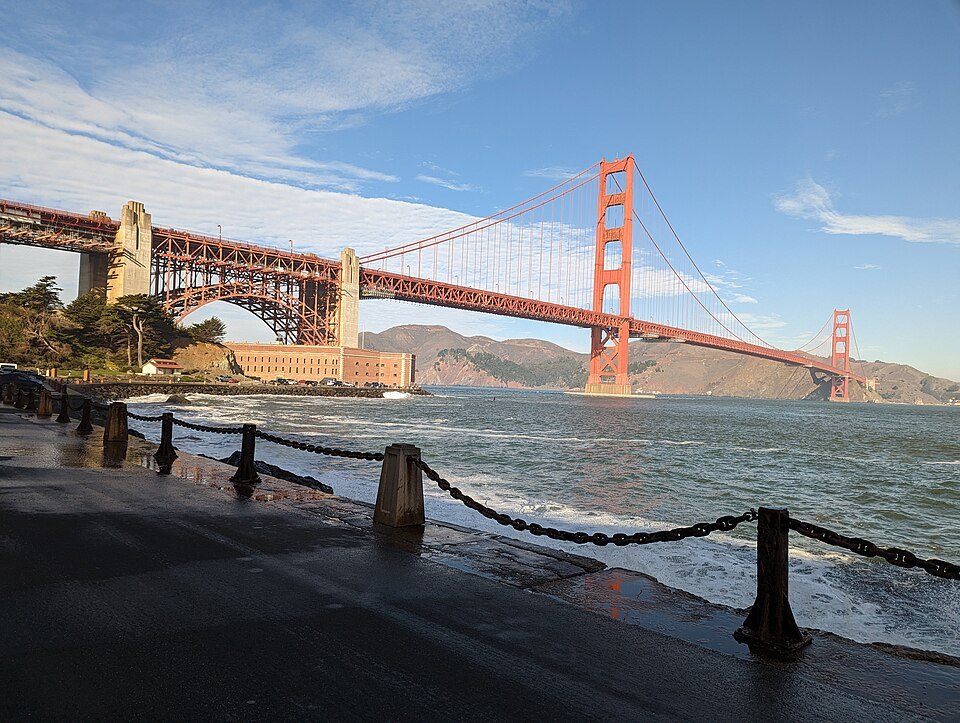
Construction began on January 5, 1933, in the depths of the Depression, after Amadeo Giannini of Bank of America agreed to buy the whole bond issue that paid for it. Strauss had a movable safety net slung beneath the workers, and nineteen men who fell into it and survived called themselves the Half Way to Hell Club. Eleven men were still killed, ten of them on February 17, 1937, when a scaffold broke through the net. On the day before cars were allowed on, some 200,000 people crossed on foot or on roller skates.
The original concrete deck suffered from salt carried in the fog and mist, and between 1982 and 1986 it was replaced, section by section, with a lighter steel deck, over 401 nights without ever fully closing the roadway.
What you see
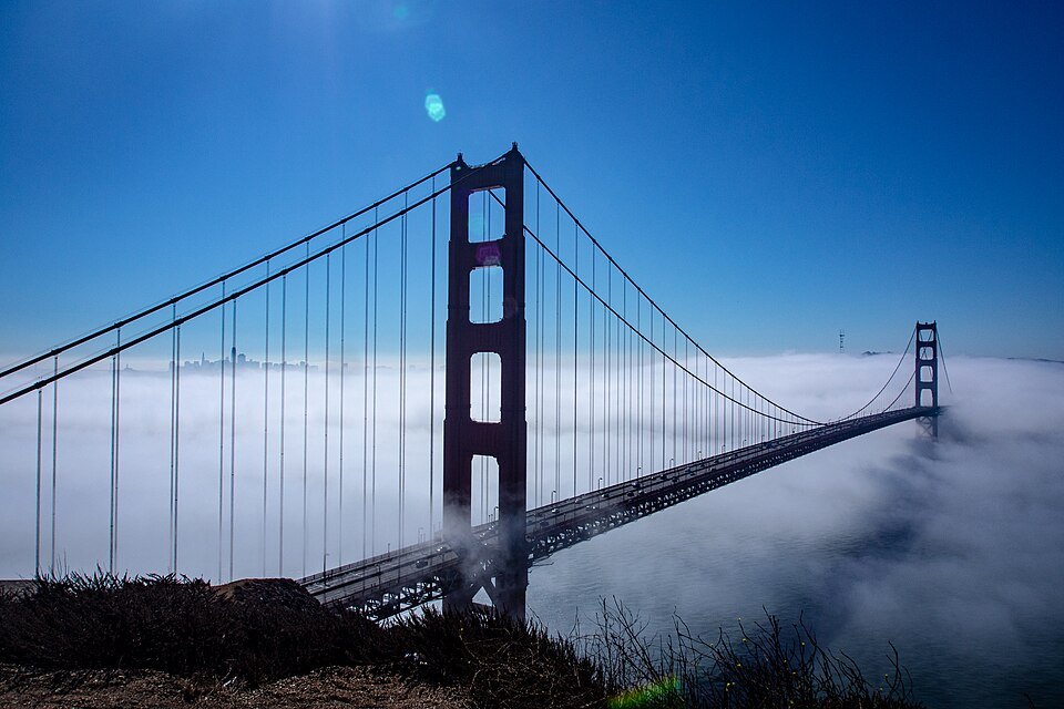
From a distance the bridge is two towers and the long, shallow curve of the main cables. Close up, the towers resolve into stepped Art Deco setbacks with vertical ribbing, and the orange turns out to be many shades depending on the light: dark rust in fog, almost red at sunset, flat and bright at midday. The deck carries six lanes of traffic with a walkway on either side, and railings have separated the walkways from the traffic since 2003.
At the San Francisco end, the Golden Gate Bridge Welcome Center, opened in 2012 for the bridge's 75th anniversary, stands beside the southeast parking lot with exhibits on the design and construction. From the plaza you look straight along the eastern walkway toward the south tower. Walking out onto the span gives you the wind, the sound of traffic behind the railing and, below, the tide running through the Gate; turn around and the city and Alcatraz are laid out to the east.
Fort Point, under the arch
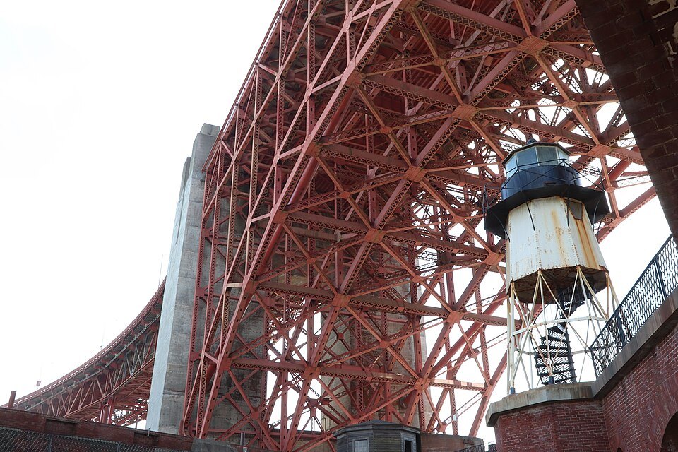
At the foot of the south tower, almost hidden under the approach, is Fort Point. The Spanish first fortified this promontory in 1794, and the brick fort you see was built by the US Army from 1853; workers cut a 90-foot cliff down to 15 feet above the sea so the lowest guns could fire close to the waterline. Its walls are seven feet thick. The first cannon were mounted in 1861, at the start of the Civil War, and the garrison waited for an enemy that never came. When the bridge was designed, Charles Ellis drew a steel arch to carry the roadway over the fort rather than demolish it, and it survives because of that arch.
The fort is a National Historic Site run by the National Park Service. From its roof the bridge deck passes directly overhead, which makes it one of the most striking places to look up at the underside of the span.
Where to see it from
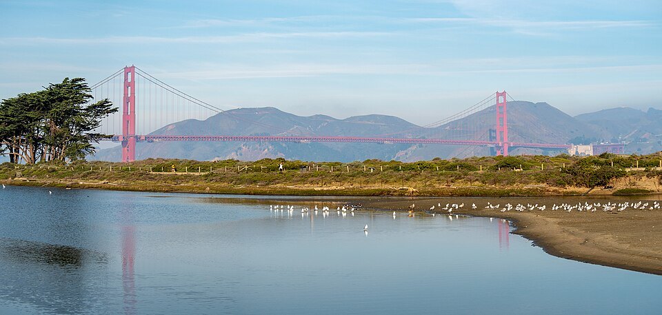
The bridge is photographed from dozens of places, and each gives a different bridge. From Crissy Field on the city's northern shore it stands at the end of a long beach walk, with the whole span side-on. From Fort Point you see its underside. From the trails of Lands End it appears from the ocean side, framed by cypress trees. From the Marin side, above the northern tower, the classic postcard view puts the bridge in front of the city skyline. On foggy summer afternoons the towers may vanish entirely while the deck stays visible, or the reverse; the when to come page explains the fog's daily rhythm.
How to visit
Most visitors walk at least part of the way across from the San Francisco end, starting at the Welcome Center; the eastern walkway is the one that faces the city. The bridge district decides which walkway walkers and cyclists may use at which times of day and changes it for works and events, so check the district's own information on the day. Dress for wind whatever the forecast in town: the walkway is exposed, and it is often markedly colder and foggier on the span than a few miles east.
Muni and Golden Gate Transit buses stop near the toll plaza, and the getting around page covers both. Nothing here needs booking. Combining the bridge with Fort Point, a walk along Crissy Field and the Palace of Fine Arts makes a full, mostly level half day.
Myths and facts
The bridge is not painted gold, and it was never meant to be: the name belongs to the strait, not the bridge, and the strait was named Chrysopylae, the Golden Gate, by the army officer and explorer John C. Frémont before the Gold Rush. Nor is the bridge simply orange: International Orange is a specific, rust-toned color chosen by Morrow. And while Strauss's name is on the plaques, the design is the work of several people, which the bridge district itself now acknowledges.
Nearby
- NearbyThe Presidio and Crissy FieldThe Spanish fort of 1776 at the Golden Gate became an American army post and then, in 1994, a national park of forests, parade grounds and old barracks, with a restored marsh and beach at Crissy Field.Read the page
- NearbyThe Palace of Fine ArtsBernard Maybeck's classical rotunda and colonnade for the 1915 exposition, designed to look like a ruin, rebuilt in concrete from 1964 and reflected in its lagoon at the edge of the Marina.Read the page
- NearbyLands End and the Sutro BathsWindswept cliffs and cypress at the corner where the Golden Gate meets the Pacific, with the ruins of an 1896 bathhouse below, the Cliff House above them and the Legion of Honor in the woods behind.Read the page