ACROSS THE BRIDGE, OVER THE BAY AND UP TO THE VALLEYS
Day trips from San Francisco
The city is small, and the country around it begins at the far end of the Golden Gate Bridge. Five day trips reach a waterfront town, an ancient redwood forest, a university city, a wine valley and an island in the bay.
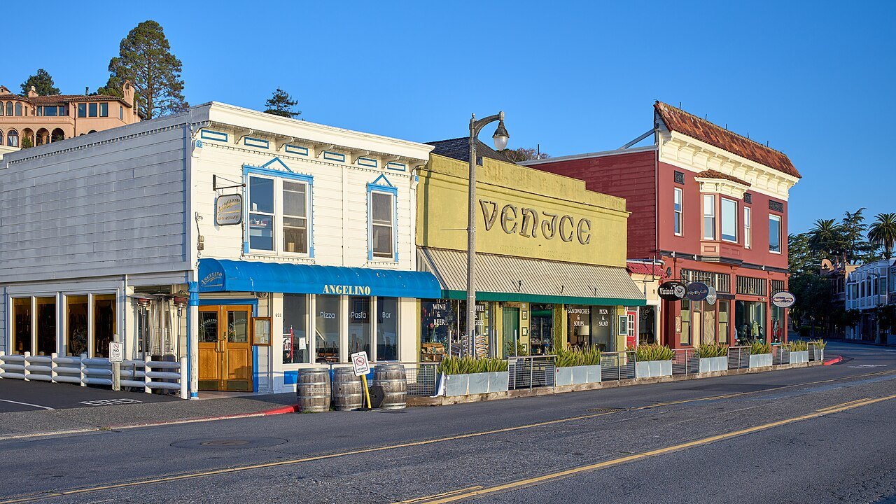
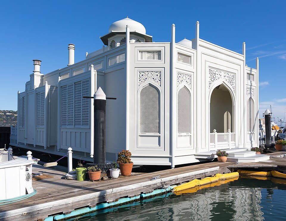
A white houseboat with domes and arched windows, moored in SausalitoFrank Schulenburg, Wikimedia Commons, CC BY-SA 4.0About four miles north across the Golden Gate Bridge; by Golden Gate Ferry from the Ferry Building, by bus, bike or carSausalitoA hillside town on the bay at the Marin end of the bridge, once a wartime shipyard, now known for its houseboats and its views back at the city.
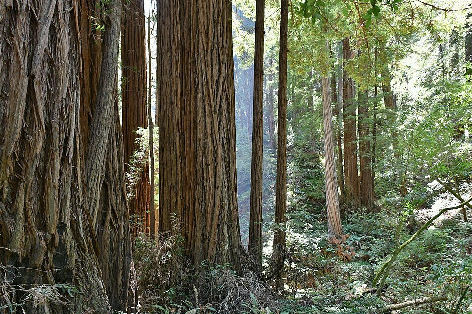
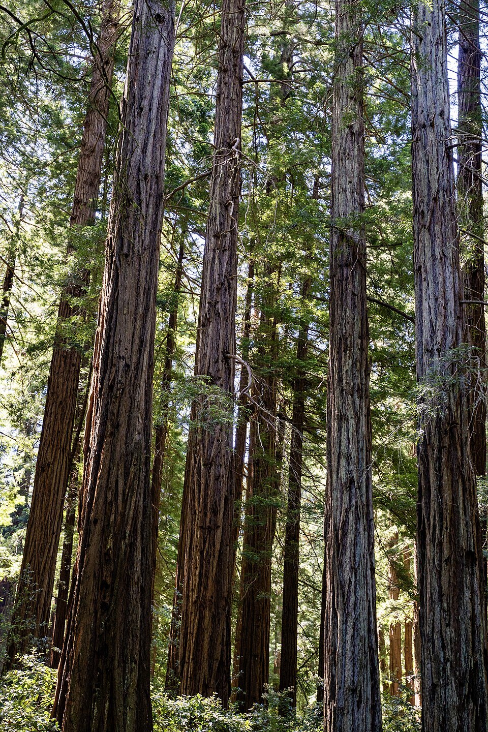
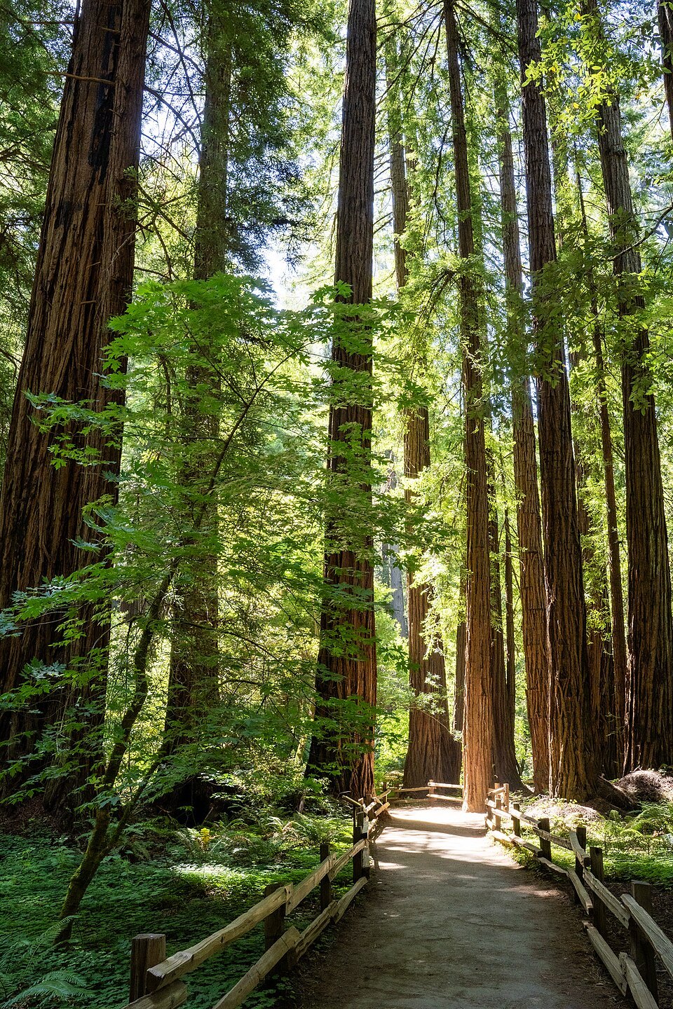
The trunks of old-growth coast redwoods in Muir WoodsGzzz, Wikimedia Commons, CC BY-SA 4.0About twelve miles north in Marin; by car or shuttle, with a parking or shuttle reservation requiredMuir WoodsOld-growth coast redwoods, the tallest living things in the world, in a canyon on the slope of Mount Tamalpais, a national monument since 1908.
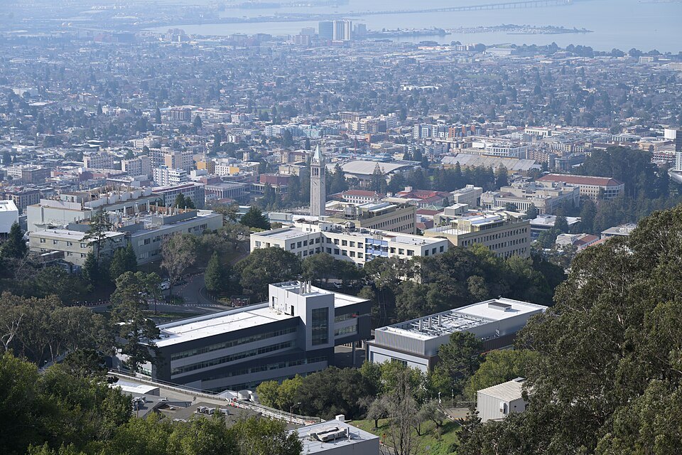
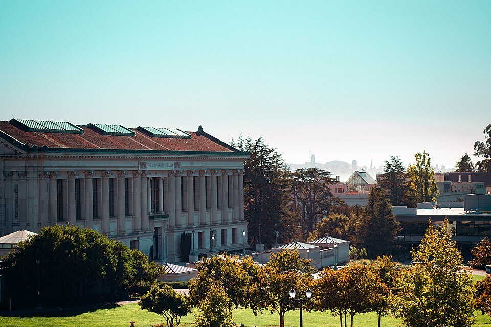
The University of California campus in Berkeley from the hills above, its Campanile at the center4300streetcar, Wikimedia Commons, CC BY 4.0Across the bay by BART to Downtown Berkeley stationBerkeleyThe oldest campus of the University of California, where the Free Speech Movement began in 1964, and the bookshops and cafés of Telegraph Avenue.
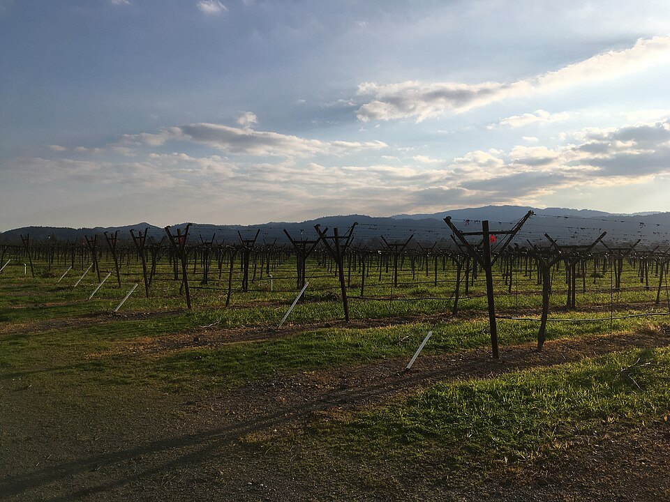
Rows of vines in the Napa Valley in the late afternoon lightGIANTPAPAYA, Wikimedia Commons, CC BY-SA 4.0North of the bay; by car or on an organized tourThe Napa ValleyOne of the world's great wine regions, with vineyards up the valley from Napa through St. Helena to Calistoga.
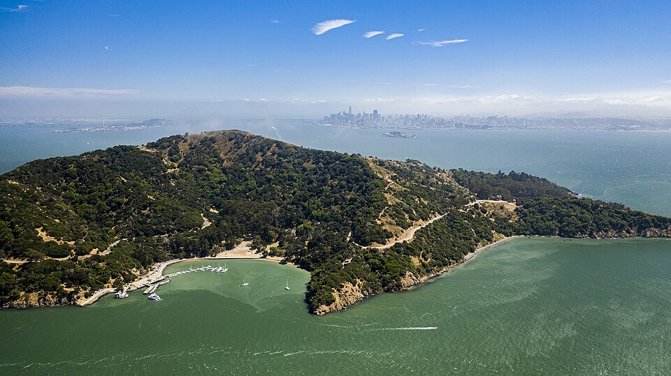
Angel Island from the air, its wooded ridge and beaches in the bay, the city in the distanceTaras Bobrovytsky, Wikimedia Commons, CC0By ferry from San Francisco or from TiburonAngel IslandA state park in the bay, with the immigration station where about a million people, most of them from Asia, were detained and examined.
No. 2In full
Day Trips
Beyond the city limits
San Francisco is only about seven miles across, and the rest of the Bay Area is close at hand: Marin County begins at the northern end of the Golden Gate Bridge, the East Bay across the water is a short ride by BART or ferry, and the wine valleys lie north of the bay. Most of these trips work without a car, by ferry, train or tour; the redwoods and the valleys are easier with one.
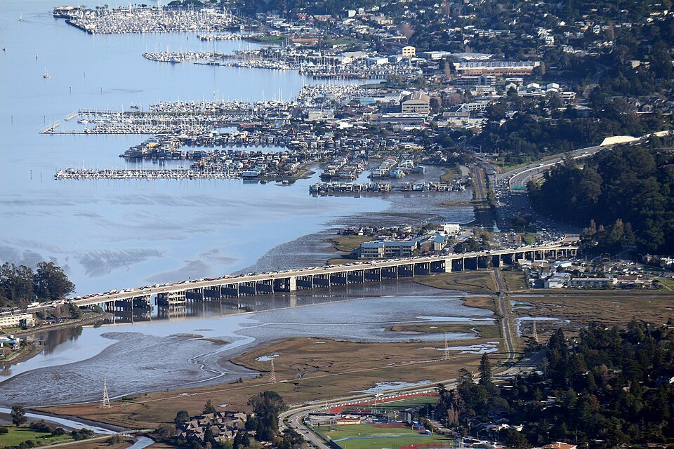
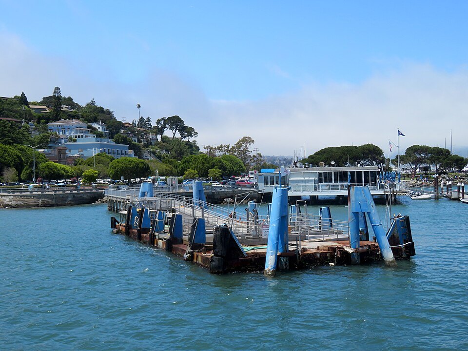
Sausalito's waterfront and the Richardson Bay Bridge from the slopes of Mount TamalpaisPi.1415926535, Wikimedia Commons, CC BY-SA 4.0
The ferries are a trip in themselves. Golden Gate Ferry sails from the Ferry Building to Sausalito, Tiburon, Larkspur and Angel Island, and San Francisco Bay Ferry, a separate system, crosses to the East Bay; both give the best views of the city's skyline, the bridges and Alcatraz. See getting around.
Sausalito
Sausalito sits at the Marin end of the Golden Gate Bridge, about four miles from the city, on a hillside above the bay. Before the bridge was built it was the terminus for the railway, road and ferry traffic from the north, and in the Second World War it grew quickly as a shipbuilding center. After the war it became a wealthy, artistic town, known for its large community of houseboats and its views across the water to San Francisco.
The classic way to go is to walk or cycle across the bridge and down into town, then take the ferry back to the Ferry Building; Golden Gate Ferry has run between the two since 1970. See the Golden Gate Bridge. The town is compact and mostly level along the water, with steep lanes and stairways climbing the hill behind it.
Muir Woods
Tall redwood trunks rising from the floor of Muir WoodsNagarjun, Wikimedia Commons, CC BY 2.0
Muir Woods, twelve miles north of the city, protects one of the few old-growth coast redwood forests left in the Bay Area, in a canyon on the western slope of Mount Tamalpais. Its trees were spared the logging that stripped the mountain to build San Francisco, and to rebuild it after 1906, because they were too hard to reach. In 1905 William Kent and his wife bought the canyon to save it, and in 1908 President Theodore Roosevelt accepted their gift and made it a national monument, named for the naturalist John Muir.
The National Park Service requires a parking reservation, or a seat on the shuttle, made in advance. Its six miles of trails include loops of half an hour, an hour and an hour and a half. Summer brings hundreds of thousands of visitors, and the narrow, winding roads often make the drive longer than expected. Pets are not allowed. Dress for shade and damp: the canyon floor is cool even on a warm day in the city. Combine the forest with the slopes of Mount Tamalpais, which rises to 2,571 feet above it, or with a stop in Sausalito on the way back.
Berkeley
Berkeley, on the eastern shore of the bay, is named for the eighteenth-century philosopher George Berkeley and is home to the oldest campus of the University of California; BART reaches its downtown station directly from Market Street. The campus, with its Campanile, Sather Tower, rising above the trees, is a pleasant walk. In the fall of 1964, when the university banned the distribution of political literature on campus, a massive student protest followed, and it became the Free Speech Movement.
The boardwalk trail through the redwoods of Muir WoodsLevi Meir Clancy, Wikimedia Commons, CC0
South of the campus, Telegraph Avenue became, in the 1960s, a focal point of the counterculture that spilled across the bay from the Haight, and it is still lined with bookstores, cafés and restaurants from around the world. For anyone who has walked Haight-Ashbury, it is the other half of the story.
The Napa Valley
The Napa Valley, north of the bay, is internationally renowned as one of the world's premier wine regions, and in 1981 it became the second American Viticultural Area in the country. Vineyards were planted up the length of the valley, from Napa to Calistoga, by the 1850s; Charles Krug's winery in St. Helena, of 1861, is often cited as the valley's first, and by the end of the century there were more than a hundred and forty. Modern premium wine production revived there in the 1960s.
Wine tasting and driving do not mix. The simplest way to see the valley is on an organized tour with a driver; if you drive yourself, choose a designated driver or keep to a single winery. Wineries set their own visiting arrangements, and some take visitors by appointment only, so check each one before you go.
Angel Island
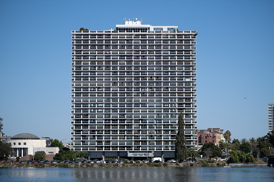
Lake Merritt in Oakland, across the bay, with a tower block on its shoreCarlton A. Lear, Wikimedia Commons, CC BY-SA 4.0
Angel Island, the second largest island in the bay after Alameda, is all of it a state park and a California Historical Landmark. It has been a hunting ground for Indigenous peoples, a source of water and timber for passing ships, a Mexican cattle ranch, an army post, a quarantine station and, from 1910 to 1940, an immigration station. Built to enforce the Chinese Exclusion Act of 1882, the station detained and examined about a million immigrants, most of them from Asia; it is now a National Historic Landmark.
Ferries run to the island from San Francisco and from Tiburon. Trails climb from the landing at Ayala Cove, where Juan de Ayala anchored in 1775, on the first European voyage into the bay, and named the island Isla de los Ángeles, to the summit, Mount Caroline Livermore, 788 feet high, near the center of the island. Its top was flattened in the 1950s for a missile radar station and restored to its natural shape in the 2000s. The island is also a fitting sequel to Chinatown.
Further afield
San Francisco is also the start of longer journeys: across the country by train from the East Bay, on the Coast Starlight or the California Zephyr, and out across the Pacific, by air from SFO or on the cruise ships that sail from Pier 27 to Hawaii. For travelers continuing west, Access Honolulu is a guide to Hawaii's capital in the same spirit as this one.
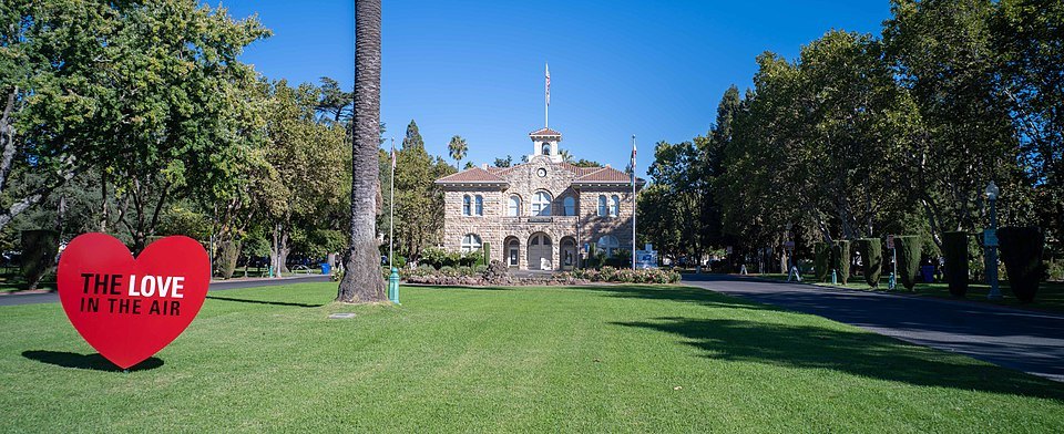
The lawn and old mission-era buildings of Sonoma Plaza, in the wine country north of the bayMx. Granger, Wikimedia Commons, CC0
Whichever trip you choose, check the ferry and transit timetables before you set out, and allow for traffic on the bridges; see street sense before you leave anything in a parked car at a trailhead.
Some links on this page are affiliate links. If you book through one we may earn a commission, at no extra cost to you. It does not affect what is recommended here, and no sight page on this site carries one.