Home · Where to Stay
Eight districts, and who each one suits
- Union SquareFirst visits, anyone without a car, cable car ridersThe downtown shopping, hotel and theater district around the plaza, with the Powell Street cable car turntable, BART and Muni Metro at hand.
- Nob HillGrand old hotels, views, cable car ridersThe hilltop of the old railroad barons, with historic hotels, Grace Cathedral and two cable car lines crossing at the summit. Steep on every side.
- North Beach and the WharfWalkers, families, food lovers, the waterfrontLittle Italy's cafés and restaurants below Telegraph Hill, a short walk from the piers, Fisherman's Wharf and the Alcatraz ferry.
- The Embarcadero and Financial DistrictBusiness trips, ferry riders, early risersThe waterfront promenade from the Ferry Building north, with the F-line streetcar and the BART and Muni Metro station at Embarcadero.
- SoMaMuseums, conventions, the ballparkSouth of Market, with SFMOMA, Yerba Buena Gardens and the Moscone Center, the Caltrain terminus and the waterfront ballpark.
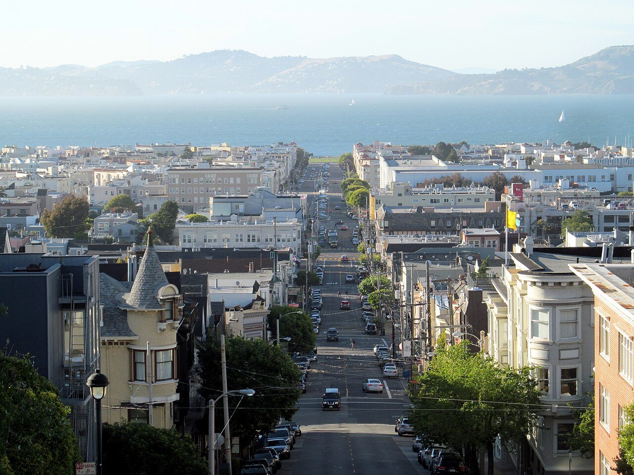
- The Marina and Pacific HeightsBridge views, runners, quieter nightsFlat streets on the old exposition grounds by Crissy Field and the Palace of Fine Arts, with Pacific Heights' mansions on the ridge above.
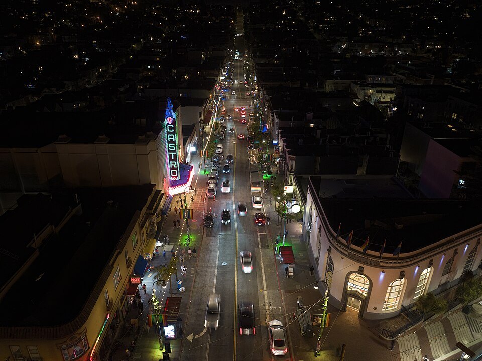
- The Mission and the CastroFood, murals, sunshine, nightlifeThe city's oldest district, warm and often sunny, with its taquerias and murals, Mission Dolores and the park; the Castro lies just to the west.
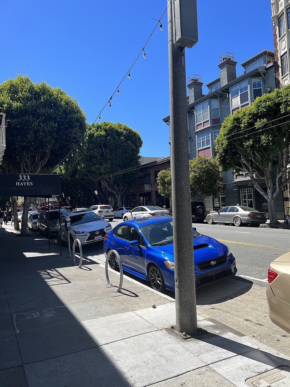
- Hayes Valley and JapantownShopping, the Civic Center's music and opera, the Painted LadiesBoutiques and restaurants near the Civic Center and Alamo Square; Japantown, a few blocks north, has the Peace Pagoda and the Japan Center.
Where to Stay
How to choose
Most visitors spend their days in the northeast quarter of the city, between Union Square, the Embarcadero, Fisherman's Wharf and the Golden Gate, and the simplest choice is to stay somewhere within it, near a cable car line, the F-line streetcar, or a BART or Muni Metro station on Market Street. From there almost every sight in this guide is a walk or a single ride away; see getting around.
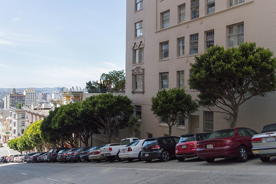
Three questions narrow it down. Do you want to walk out of the door into the busiest part of the city, or come home to a quieter street? How do you feel about hills, since a hotel at the top of Nob Hill means a climb every evening? And will you have a car, which is a burden in the center, where parking is scarce and a parked car must be left empty.
Union Square and Nob Hill
Union Square is named for the rallies held there in support of the Union during the Civil War, and the plaza and the blocks around it form the city's central shopping, hotel and theater district. It has been hit hard by the loss of office workers and shops downtown since the pandemic, but it remains the most convenient base in the city: the Powell Street cable car turntable, BART and Muni Metro are steps away, and Chinatown is a few blocks north. The Tenderloin and Mid-Market lie to the west and southwest, on the way to the Civic Center; read the notes on downtown streets before you walk.
Above it, Nob Hill is the old enclave of the rich, named for the railroad barons who built mansions there, and it still has some of the city's grandest hotels, among them the Fairmont, rebuilt after the fire of 1906. The California Street and Powell cable car lines cross at the top, which is as well, because every approach on foot is steep; see the hills.
North Beach and the waterfront
North Beach, the city's Little Italy, has been named one of the great neighborhoods in America by the American Planning Association, and it is one of the most enjoyable places to stay: cafés, bakeries and restaurants around Washington Square, City Lights Bookstore and the Beat-era bars, and nightlife into the late evening. It sits between Chinatown and the foot of Telegraph Hill, with Coit Tower above.
Fisherman's Wharf, a few blocks north, has many hotels and is handy for the Alcatraz ferry and the Powell–Hyde and Powell–Mason cable cars, but it is busy with visitors and quieter at night. The Embarcadero runs south along the water to the Ferry Building, past the Financial District's towers, with the F-line streetcar running its whole length.
SoMa
South of Market, or SoMa, is where the city's museums, tech companies and conventions meet: SFMOMA, Yerba Buena Gardens and the Moscone Center are at its heart, and it includes South Beach and Rincon Hill, with the ballpark on the waterfront and the Caltrain terminus nearby. It is flat, well served by BART and Muni Metro, and full of large modern hotels. It is also a district of offices, so some blocks are quiet after work and at weekends. A few of its blocks near Market Street, around Fifth and Mission, were named in the city's own campaign as car break-in hot spots.
The Marina and Pacific Heights
The Marina District stands on the grounds of the 1915 Panama–Pacific International Exposition, which were cleared except for the Palace of Fine Arts to make the neighborhood. It is flat, residential and close to the bay, with Crissy Field and the Presidio next door and the Golden Gate Bridge in view. Chestnut Street, from Fillmore to Lyon, is lined with shops, restaurants, bakeries, coffee shops and bars.
Pacific Heights, on the ridge above, is one of the wealthiest neighborhoods in the country, with panoramic views of the bridge, the bay and Alcatraz and streets of Victorian, Edwardian and Château-style mansions. There are fewer hotels on this side of the city, and it is further from the downtown sights, but it suits anyone who wants mornings on the waterfront and quieter evenings.
The Mission and the Castro
The Mission is one of the oldest neighborhoods in the city, named for Mission San Francisco de Asís, founded in 1776, and historically one of the most notable centers of the city's Hispanic community. It is often warmer and sunnier than the rest of the city, and it has the taquerias, the murals of Balmy Alley and the lawns of Mission Dolores Park. BART's Sixteenth and Twenty-Fourth Street stations link it to downtown and the airport.
The Castro, just to the west, was one of the first gay neighborhoods in the United States, and it remains one of the most prominent symbols of lesbian, gay and bisexual activism in the world. Harvey Milk Plaza, with its giant rainbow flag, stands at the top of Castro Street, where the F-line streetcar begins its run to the waterfront.
Hayes Valley and Japantown
Hayes Valley, between the Civic Center and Alamo Square, is a neighborhood of Victorian, Queen Anne and Edwardian houses whose streets were transformed after the Central Freeway came down, and it now has an eclectic mix of boutiques and restaurants. It is a short walk to the War Memorial Opera House, Davies Symphony Hall and the Herbst Theatre in the Civic Center and to the Painted Ladies.
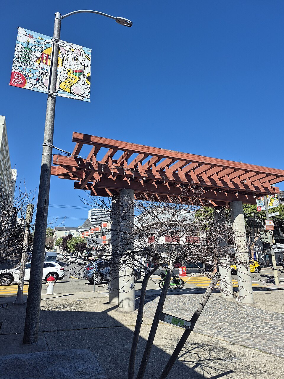
Japantown, a few blocks north, is one of the largest and oldest ethnic enclaves in the United States, covering about six blocks. Its Japan Center has the Peace Pagoda, a five-tiered stupa presented by the people of Osaka, and the Kabuki Theatre, and it holds two festivals each year: the Northern California Cherry Blossom Festival over two weekends in April, and the Nihonmachi Street Fair in August. Both are well placed for Golden Gate Park and the western half of the city.
A note on booking a room
Hotels fill quickly on the big festival and convention weekends, so check the city's event calendar against your dates before you commit; see when to come. When you compare rooms, look at the walking distance to the nearest cable car stop or Market Street station, and at the map's contour lines as well as its distances: two hotels the same distance from Union Square can be very different walks home.
More photographs
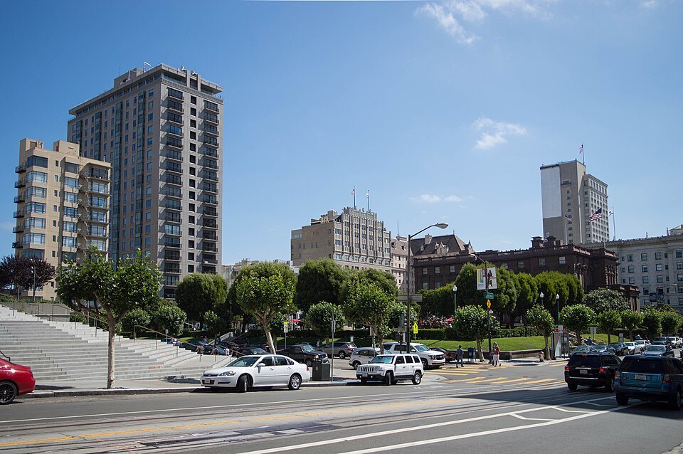
Towers and hotels on the crest of Nob HillSupercarwaar, Wikimedia Commons, CC BY-SA 4.0 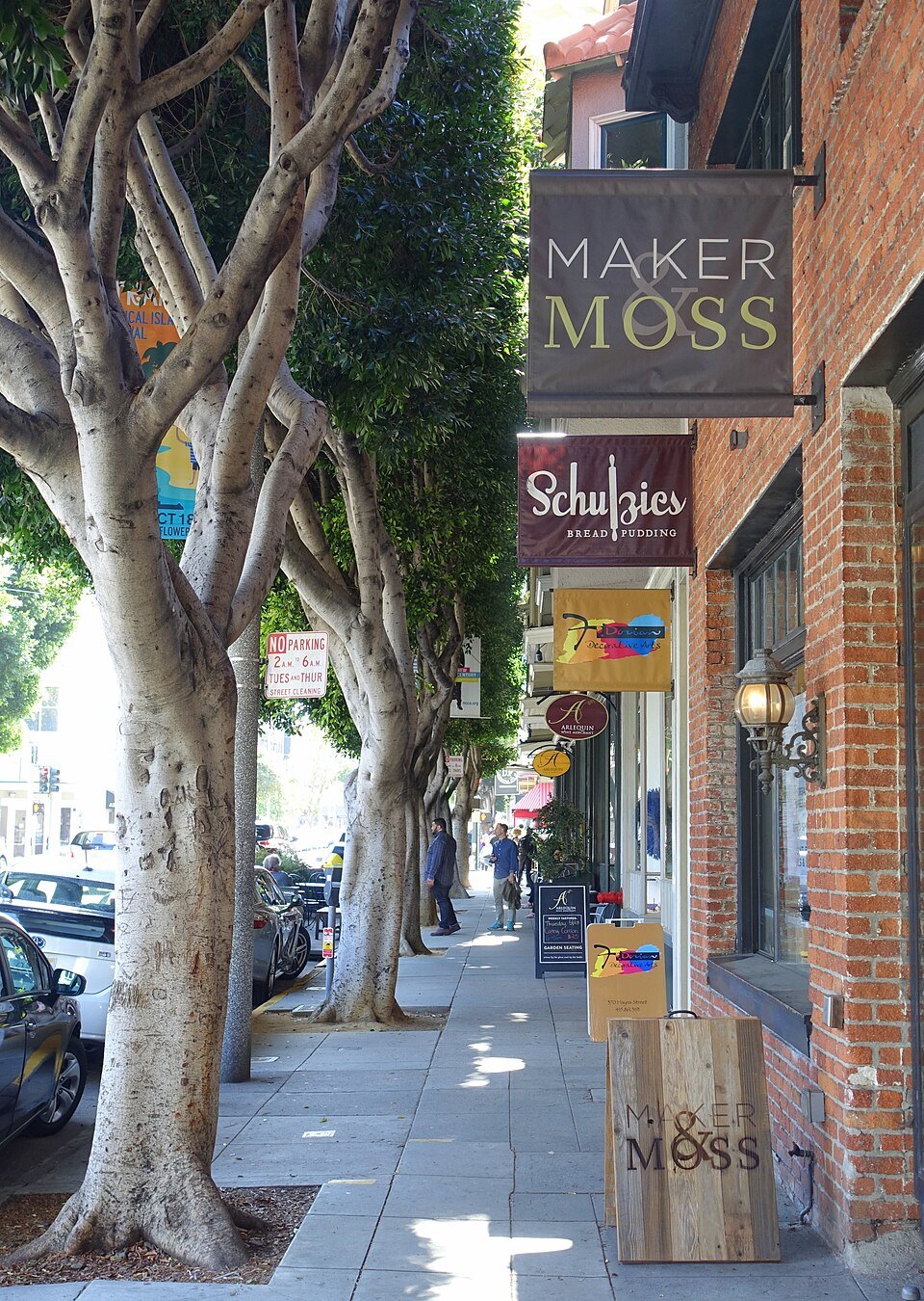
Shopfronts under the trees on a Hayes Valley streetDaderot, Wikimedia Commons, CC0 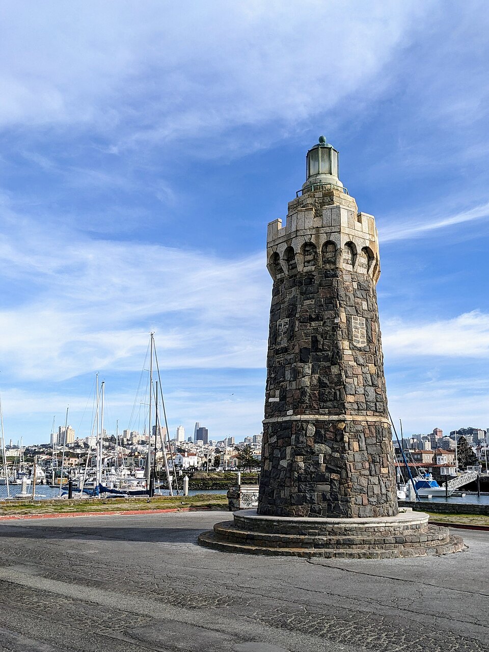
The stone lighthouse at the end of the Marina breakwaterThe wub, Wikimedia Commons, CC BY-SA 4.0