Where are the murals of the Mission District?
A guide to the Mission District's murals, from Balmy Alley to Calle 24 and Valencia Street.
Read on
A Neighborhood Shaped by Waves of Arrival
Mission Dolores gives its name to the Mission District, the neighborhood that grew up around the old adobe chapel and basilica. In the nineteenth century this was land of Californio ranchos, then home to working-class immigrants from Germany, Ireland, Italy and Scandinavia. Central American families settled from the 1910s, and from the 1950s Mexican immigrants came to predominate, shaping the language, food and street life that visitors encounter in the neighborhood today.
For a quarter century, from 1865 to 1891, two blocks near Mission and Valencia streets held Woodward's Gardens, a pleasure ground with a conservatory and a zoo, part of the district's long history of public spectacle. The district lies east of Twin Peaks in a warm, sunny pocket of the city's weather, and on a clear day it is often the warmest place in San Francisco.
The murals that now cover so much of the neighborhood grew out of this long layering of communities and languages, a visual record of Latino and Central American life in the city that keeps changing rather than staying fixed in one era, so a wall seen on one visit may look different on the next.
Balmy Alley, Where the Murals Began
The place to start is Balmy Alley, a single block between 24th and 25th streets, lined on both sides with murals that have covered almost every fence and garage door since the early 1970s. It began when the artists Patricia Rodriguez and Graciela Carrillo, who went on to form the collective Las Mujeres Muralistas, painted their first works here, and decades of other artists have added to the walls since.
The alley is narrow and short, so walking its length takes only a few minutes, but the density of color and imagery on both sides rewards a slow pace rather than a quick pass. Murals here, as elsewhere in the district, are painted on the walls and garage doors of people's homes, so visitors should keep voices down and be considerate when stopping to look or take photographs.
Because Balmy Alley sits close to the Mission's two main commercial streets, it is easy to combine a visit with a stop for food nearby; see eating and drinking for how the city's food scene works and where to find a meal before or after a walk through the murals.
24th Street and Calle 24
24th Street is the heart of the Calle 24 Latino Cultural District and, along with Valencia Street, one of the Mission's two main streets for food and shops. Its sidewalks carry murals of their own, on storefronts and side walls as well as in Balmy Alley just off it, and its shops and markets reflect the Latino and Central American character of the surrounding blocks.
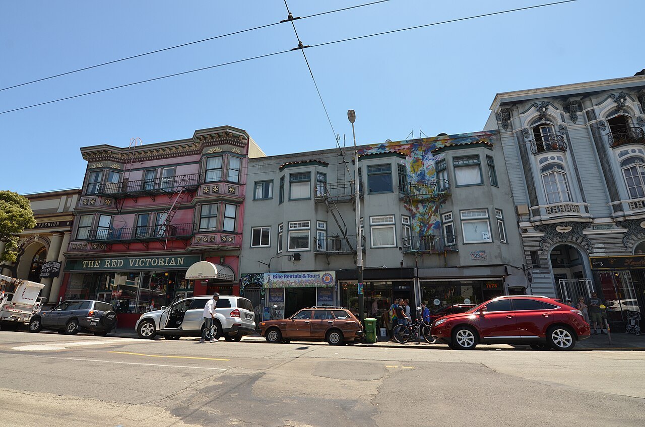
The street runs flat and is easy walking, part of the wider flat grid that makes the Mission simple to explore on foot, in contrast to the steep streets that climb toward Twin Peaks a short distance to the west. A second BART station, 24th Street, sits directly on this stretch, making it a practical point to begin or end a walking loop through the murals.
Visitors arriving by BART can plan a route from either the 16th Street Mission or the 24th Street station; see getting around for how the system works and how the two stops line up with the mission, Balmy Alley and Valencia Street, so a single loop on foot can take in murals, markets and a meal without doubling back.
Valencia Street and the Mission Burrito
Valencia Street, a few blocks west of Calle 24, is the district's other main spine for food and shops, with a character shaped by later waves of business alongside older Latino and Central American establishments nearby. It is also, by local credit, where the Mission burrito itself was born, a dish now associated with the neighborhood as closely as its murals.
Murals turn up along Valencia and its side streets too, mixed in with cafes, bars and shops, so a walk that strings together Balmy Alley, 24th Street and Valencia covers murals, food and the general texture of the neighborhood in a single afternoon. None of this walking requires a car, and most of the ground covered is level rather than steep.
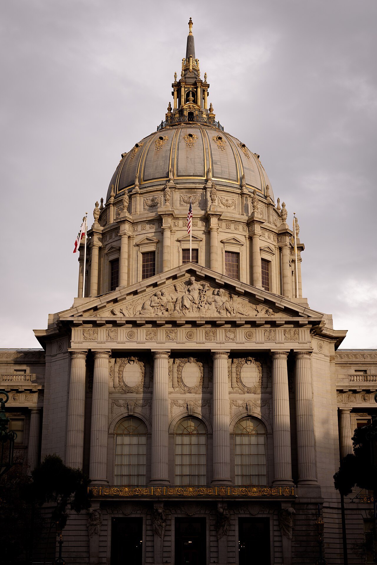
Because the Mission runs warm and sunny even when other parts of the city sit under fog, Valencia and 24th Street are comfortable places to eat outdoors or sit for a while between stops. Visitors planning a full day in the neighborhood can pair this walk with a visit to the mission buildings themselves and to Dolores Park nearby.
Planning a Visit to the Murals
Murals are best looked at in daylight, since their colors and details are hard to make out after dark and many alleys and side streets have little lighting of their own. Allow much of an afternoon for the Mission District, its murals and a meal, on top of any separate time set aside for the mission buildings and cemetery described in Mission Dolores.
The 16th Street Mission BART station is the closest stop to the mission buildings, with the 24th Street station nearer Calle 24 and Balmy Alley; the J Church streetcar also runs through the district on its own right of way, making several approaches possible depending on where a visitor starts the day.
Because so many murals are painted on private homes, garages and fences, visitors should keep noise down and be considerate about photographing residents' property. Walls also change over time, as older murals are painted over or renewed by new artists, so a mural described in one account may not look the same on a later visit; treat the collection as a living one rather than a fixed display.
Mission Dolores and Dolores Park Nearby
The murals cluster close to Mission Dolores itself, at Dolores and 16th streets, where the old adobe chapel, the twin-towered basilica and the city's oldest cemetery stand together as a working parish; see Mission Dolores for its history and for how to check visiting arrangements for the chapel, cemetery and basilica before setting out.
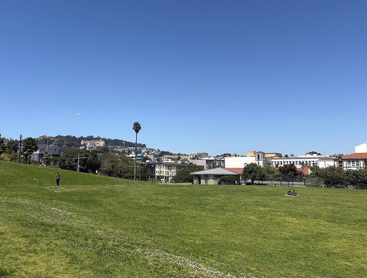
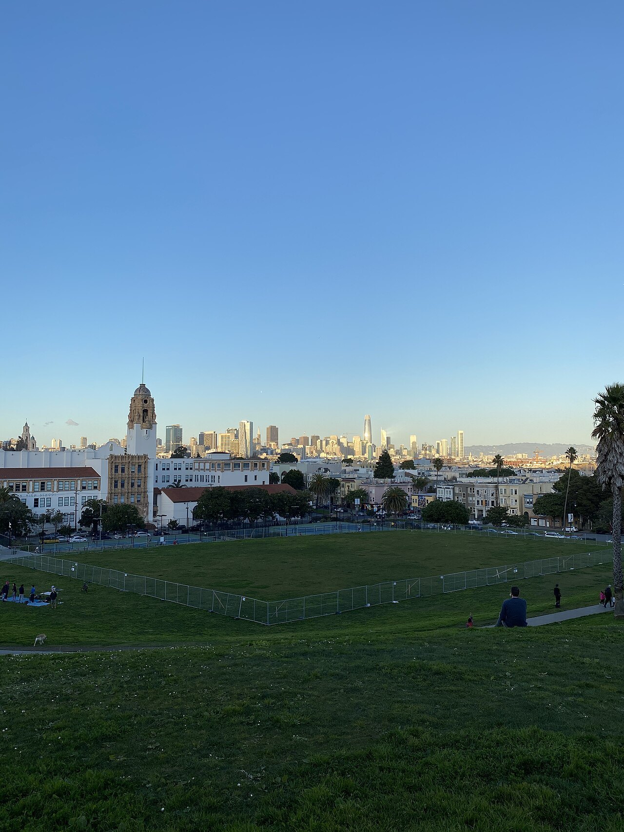
Two blocks south, Mission Dolores Park climbs the slope between 18th and 20th streets, its upper half looking out over the Mission to downtown, the Bay and the hills beyond. On a sunny weekend it fills with people, and it makes a natural stop between the old chapel and the mural-covered streets further south and east.
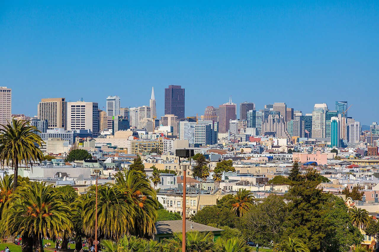
The J Church streetcar runs along the park's western edge, on its own right of way, linking the park to the rest of the district. Dolores Park and the streets rising west of it toward Twin Peaks are steep, unlike the flat ground around most of the murals, so visitors should plan footwear and pace with that climb in mind.
More from the journal
- Coit Tower and Telegraph HillWhat do the murals inside Coit Tower show, and who painted them?A guide to the Coit Tower lobby murals: their painters, subjects, the 1934 controversy, and how to see them today.Read the piece
- The SightsWhat survives of the 1906 earthquake in San Francisco?The earthquake and fire of April 1906 destroyed most of the city. Here is what came through, what was rebuilt in its place, and where you can still see the traces, from Mission Dolores to the Portals of the Past.Read the piece
- The Golden Gate Bridge and Fort PointCan you walk across the Golden Gate Bridge?Yes, on the eastern walkway, which faces the city. Which walkway is for whom, how long the crossing is, where to start and finish, what to wear for the wind, and what to look for on the way.Read the piece