Home · Sights · Mission Dolores and the Mission District
Mission Dolores and the Mission District
Level
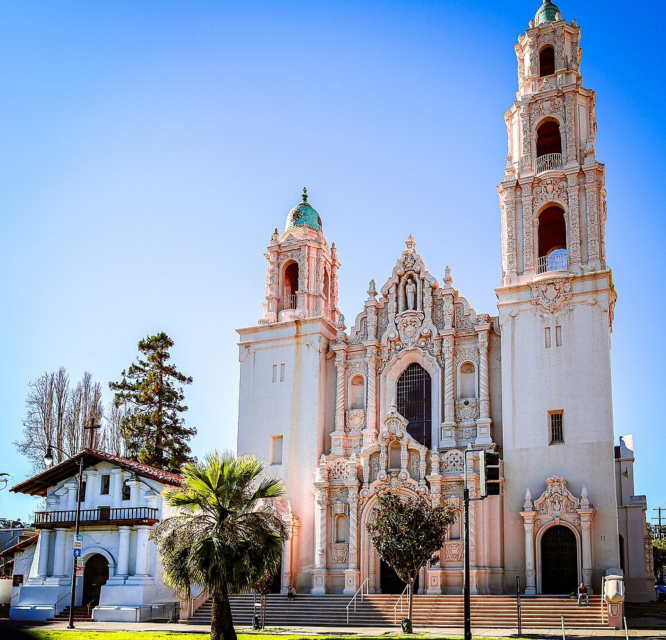
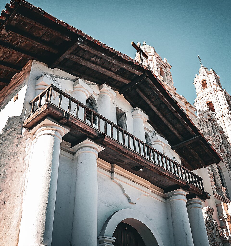
- 1The adobe chapelCompleted in 1791, with four-foot adobe walls, redwood beams and a ceiling painted with Ohlone designs.
- 2The basilicaThe larger church of 1918 beside it, made a minor basilica in 1952.
- 3The cemetery and gardensThe oldest cemetery in the city, with the unmarked graves of some 5,000 Native Californians.
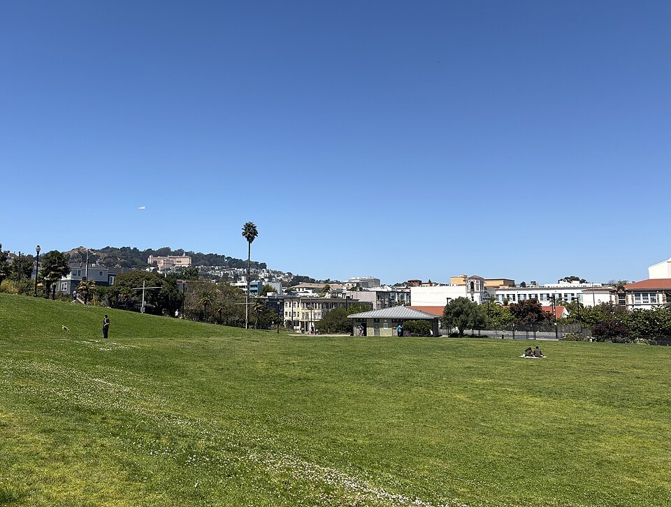
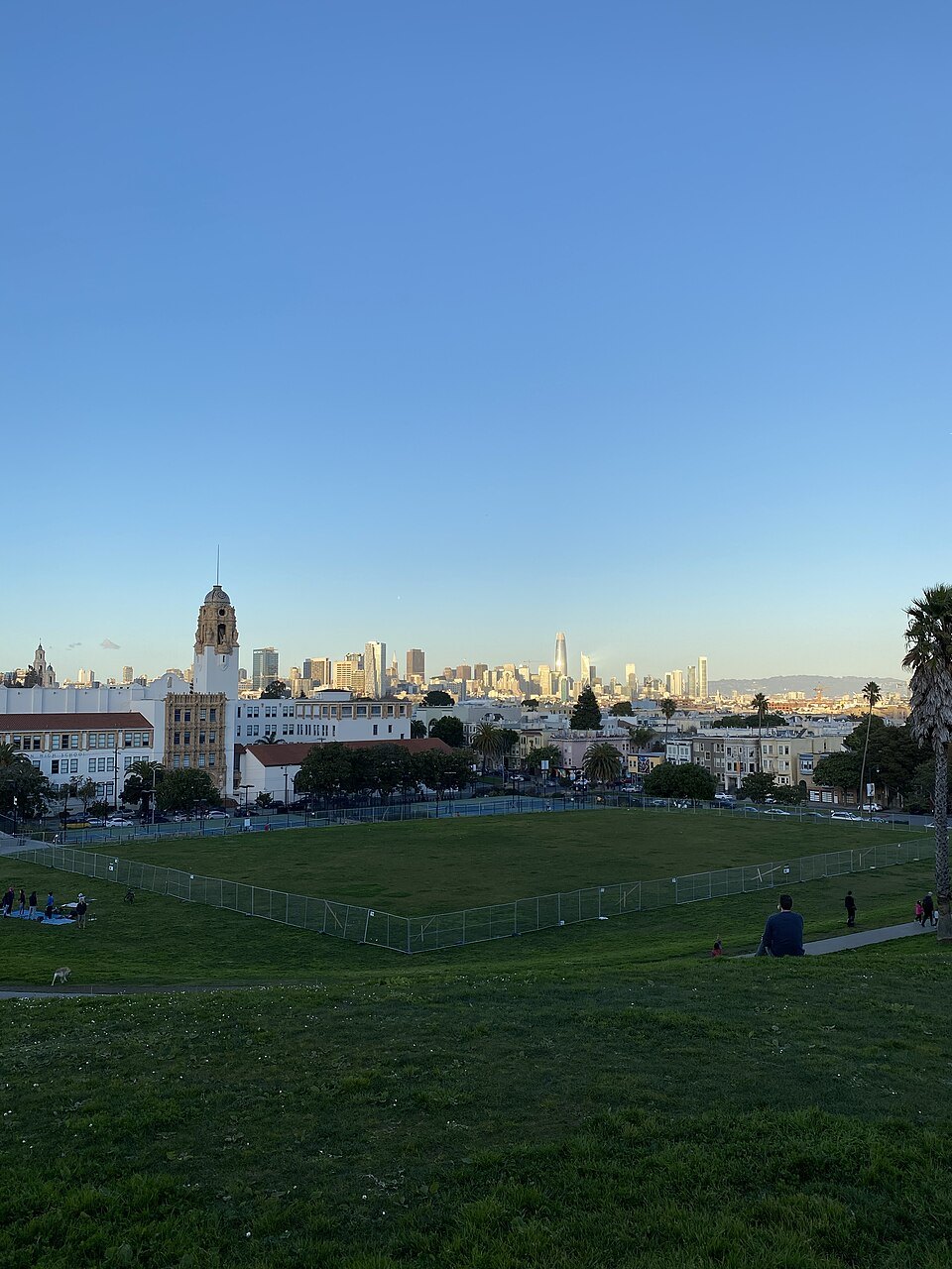
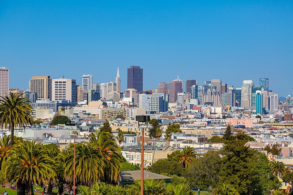
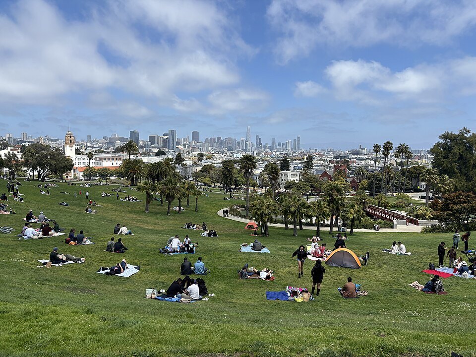
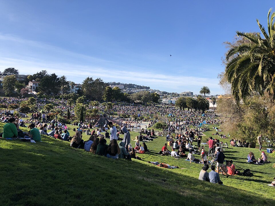
- 4Dolores ParkA hillside park two blocks south, with views over the Mission to downtown and the Bay.
- 5Balmy AlleyA single alley off 24th Street lined with murals since the early 1970s.
- 6Valencia and 24th streetsThe district's main streets for food, shops and murals.
Reading the place
Why it matters
Mission Dolores is where the city began as a community. The Spanish founded the Presidio at the Golden Gate in 1776, and on October 9 that year the Franciscan missionaries Francisco Palóu and Pedro Benito Cambón dedicated a small chapel a few miles south, the Mission San Francisco de Asís, named for Francis of Assisi. It came to be called Mission Dolores after a nearby creek, the Arroyo de Nuestra Señora de los Dolores. Its adobe church, finished in 1791, is the oldest intact building in San Francisco.
The mission is also a place of loss. It was built to bring in Spanish settlers and convert the Ohlone, and it was the Ohlone who built it. Disease and hardship killed thousands of them here, and the mission cemetery holds the unmarked graves of about 5,000 Native Californians, Ohlone and Miwok people among them.
The adobe church
Construction began in 1788. Ohlone laborers made 36,000 adobe bricks, and by 1790 the walls were up, plastered and whitewashed. The finished church has adobe walls four feet thick, roof beams of redwood, and a ceiling painted with traditional Ohlone designs in vegetable dyes. At its peak, around 1810 to 1820, about 1,100 Native people lived at the mission, which ran huge herds of sheep and cattle across what is now the Mission District and far beyond.
After Mexico took control of California, the missions were secularized from 1834 and lost their lands, and by 1842 only eight Native Americans still lived here. The little church came through the 1906 earthquake damaged but standing; the brick parish church of 1876 beside it was destroyed, and firefighters blew up buildings across the street to keep the fire from reaching the mission.
The basilica and the cemetery
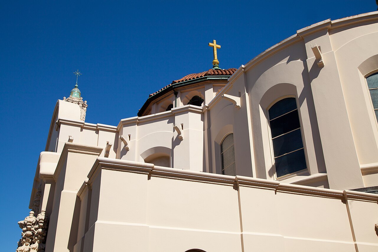
The large church next door, with its twin towers, was built in 1918 to replace the parish church lost in 1906, given its elaborate churrigueresque ornament in a remodeling of 1926, and made a minor basilica by Pope Pius XII in 1952. Beside the old chapel, the cemetery is the oldest in the city and one of only four burial grounds left within the city limits. Among its gardens are native plants of the kind that grew here in the 1790s, a rose garden and an Ohlone ethnobotanical garden, and beneath it lie the unmarked graves of the Native people who lived and died at the mission.
The chapel, the cemetery and the basilica are part of a working parish of the Archdiocese of San Francisco; be quiet inside and respect services.
The Mission District
Around the mission spreads the Mission District, one of the city's oldest and most vivid neighborhoods. In the nineteenth century it was the land of Californio ranchos and then of working-class immigrants from Germany, Ireland, Italy and Scandinavia; Central American families settled from the 1910s, and from the 1950s Mexican immigrants predominated. For a quarter of a century, from 1865 to 1891, two blocks near Mission and Valencia streets were Woodward's Gardens, a pleasure ground with a conservatory and a zoo. It lies east of Twin Peaks in a warm, sunny pocket of the city's weather, and on a clear day it is often the warmest place in San Francisco.
Its murals are famous. On Balmy Alley, a single block between 24th and 25th streets, murals have covered almost every fence and garage door since the early 1970s, when the artists Patricia Rodriguez and Graciela Carrillo, who became the collective Las Mujeres Muralistas, painted their first there. 24th Street, the heart of the Calle 24 Latino Cultural District, and Valencia Street are the district's main streets for food and shops, and the Mission is where the Mission burrito was born.
Dolores Park
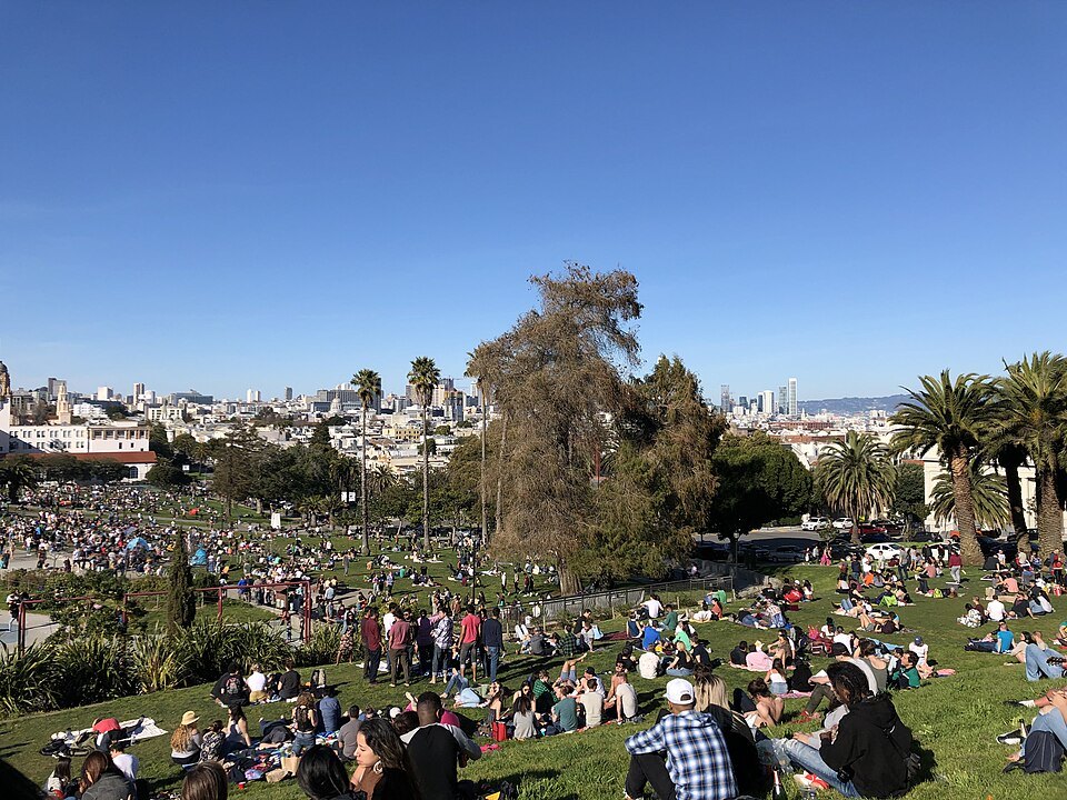
Two blocks south of the mission, Mission Dolores Park climbs the slope between 18th and 20th streets. Its upper, southern half looks out over the Mission to downtown, the Bay and the hills beyond, and on a sunny weekend it fills with thousands of people. The Muni Metro J Church streetcar line runs along its western edge, on its own right of way through the park.
How to visit
The mission is at Dolores and 16th streets, a short walk from the 16th Street Mission BART station (the district has a second station at 24th Street), and the J Church streetcar stops nearby; see getting around. The mission sets its own visiting arrangements for the chapel, cemetery and basilica; check them before you go. Allow an hour for the mission and much of an afternoon for the district, its murals and a meal. The Mission's flat streets are easy walking; Dolores Park and the streets west of it rise steeply toward Twin Peaks.
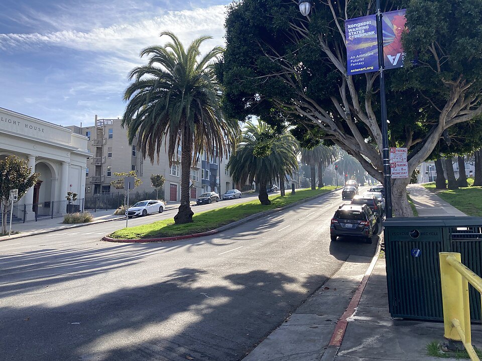
For the neighborhood as a place to stay, see where to stay. Murals are best looked at in daylight, and many are on the walls and garages of people's homes, so be considerate when you photograph them.
Myths and facts
The name Dolores does not refer to the chapel but to the creek, Our Lady of Sorrows Creek, beside which the mission stood. The mission's graves are not all of settlers: most of the people buried here are Native Californians whose graves are unmarked. And while Junípero Serra, the founder of the California missions, is recorded as saying mass here while the church was under construction, he did not found this mission; Palóu and Cambón did.
Nearby
- NearbyAlamo Square and the Painted LadiesA row of Victorian houses built in the 1890s on Steiner Street, facing a hilltop park that looks straight over them to downtown: San Francisco's most photographed houses, and a story of how the city put the color back on its Victorians.Read the page
- NearbyHaight-AshburyA district of tall, ornate wooden Victorian and Edwardian houses at the east end of Golden Gate Park, named for a street corner and remembered as one of the centers of the 1960s counterculture.Read the page
- NearbyCity Hall and the Civic CenterArthur Brown Jr.'s domed City Hall of 1915, taller than the dome of the US Capitol, at the center of a Civic Center of classical buildings raised after the 1906 fire, where the United Nations Charter was signed.Read the page