Can you walk across the Golden Gate Bridge?
Yes, on the eastern walkway, which faces the city. Which walkway is for whom, how long the crossing is, where to start and finish, what to wear for the wind, and what to look for on the way.
Read on
The short answer
Yes. The Golden Gate Bridge was built with a walkway on each side of its six traffic lanes, and walking across it is free and one of the great experiences of the city. People on foot use the eastern walkway, the one that faces San Francisco, the bay and Alcatraz. The western walkway, on the ocean side, is for cyclists only, at the times when they are not allowed on the eastern side.
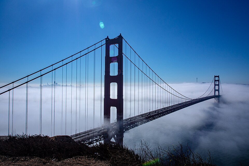
The crossing from abutment to abutment is 8,981 feet, a little under a mile and three quarters, so a walk to the far side and back is a good hour or more, in the wind. Many people walk out to the south tower and back; others cross to the Marin side and take a bus or a ferry home.
People have walked it from the very start. On May 27, 1937, the day before cars were allowed on, the bridge opened to people on foot, and some 200,000 of them crossed, some of them on roller skates. Walking it today, you follow them over the same walkways that Irving Morrow designed.
Who uses which walkway
The eastern walkway is the main one. On weekdays it is shared by walkers and cyclists for most of the day, then kept for walkers until dark; at weekends it is kept for walkers through the daytime. In the evening and overnight, people on foot are kept off it and cyclists have it to themselves. The western walkway carries cyclists only, at the times they are kept off the eastern side.
The bridge district sets these arrangements and changes them for maintenance, events and security, so check its own information on the day you go. Railings have separated both walkways from the traffic lanes since 2003, when they were added mainly to keep cyclists from falling into the roadway.
Where to start
Most walkers start at the San Francisco end, at the Golden Gate Bridge Welcome Center, which opened in 2012 for the bridge's 75th anniversary beside the southeast parking lot. It has exhibits on the design and building of the bridge, and from the plaza outside you look straight along the eastern walkway toward the south tower. Muni and Golden Gate Transit buses stop near the toll plaza; see getting around.
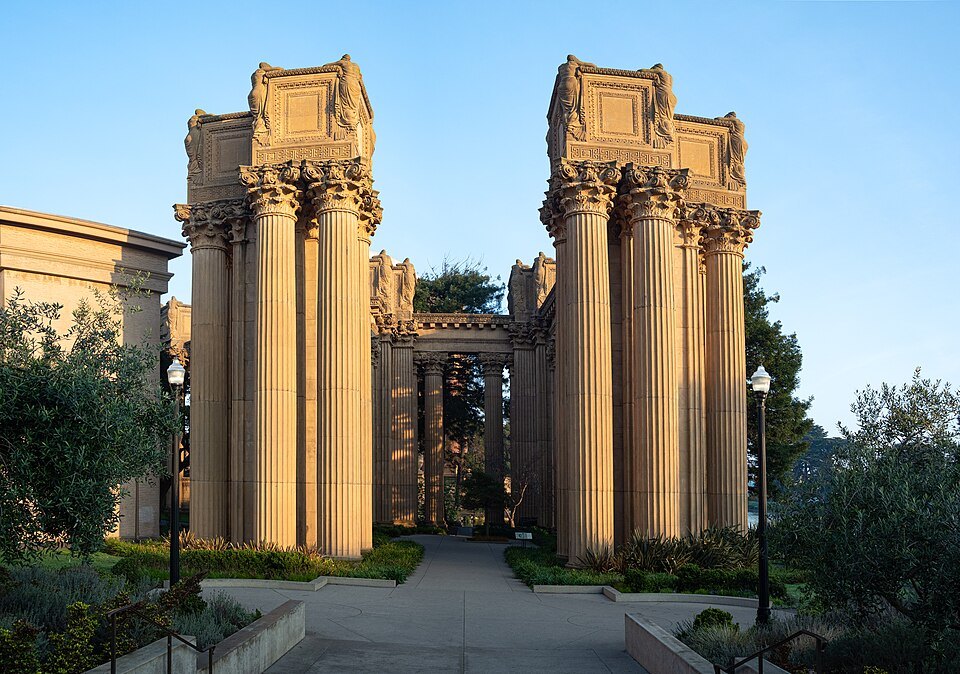
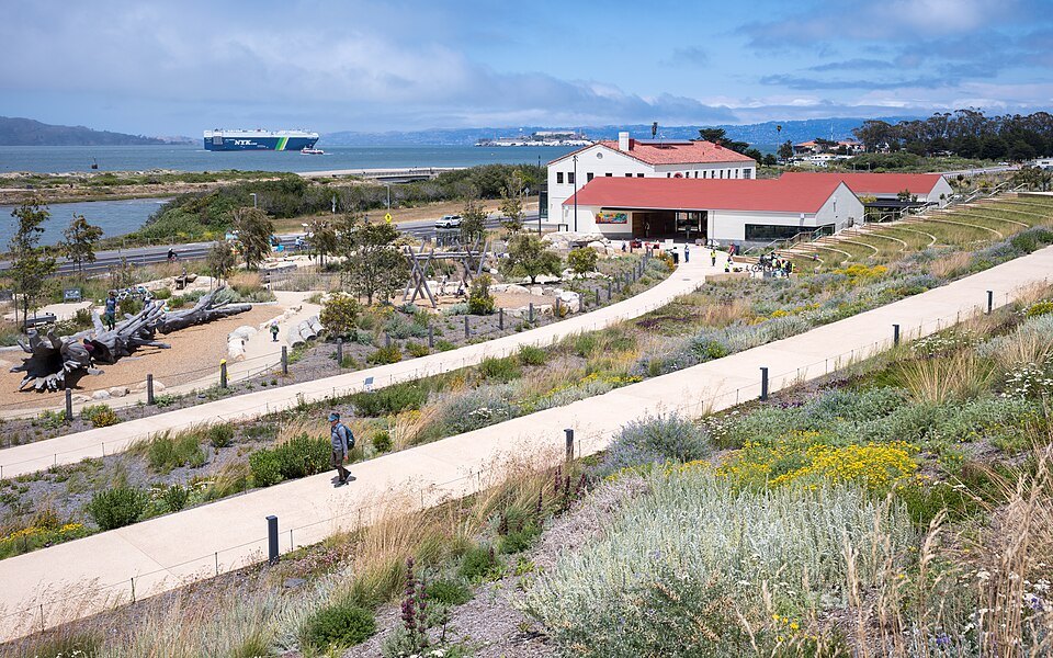
A better approach, if you have the time, is on foot along the bay: from the Palace of Fine Arts along the promenade of Crissy Field, past the Warming Hut café, to Fort Point under the southern end, then up the path to the bridge. It is level almost all the way and puts the bridge in front of you for the whole walk.
On the span
Out on the bridge you feel how it is built. The towers rise 746 feet above the water, and the main span between them is 4,200 feet, the longest in the world when the bridge opened in 1937. Leon Moisseiff's design used a thin, flexible roadway that bends in the wind and passes the forces through the cables to the towers, so you may feel the deck move under your feet. On the fiftieth anniversary in 1987, when some 300,000 people crowded onto the closed roadway at once, the center span flattened out under their weight.
Look at the details as you pass. The Art Deco towers, the lamps, the railings and the walkways themselves were shaped by the architect Irving Morrow, who also chose the color, International Orange, to suit the headlands and keep the bridge visible in fog. The main cables above you are made of some 80,000 miles of galvanized steel wire. When the bridge was designed, experts doubted it could stand in the strait at all, with its fast, swirling tides, strong winds and fog; walking out over the channel, you understand why.
The views
Walking north on the eastern walkway, the whole of the bay is on your right: the city's northern waterfront, the Palace of Fine Arts, Alcatraz, Angel Island and, on a clear day, the East Bay hills. Behind you the city rises over its hills. Below, the tide runs through the strait, which is about a mile wide and 372 feet deep at the center of the channel.
At the Marin end, a vista point and rest area look back across the strait at the bridge and the skyline together, the postcard view. The Marin Headlands rise steeply above it.
The wind and the fog
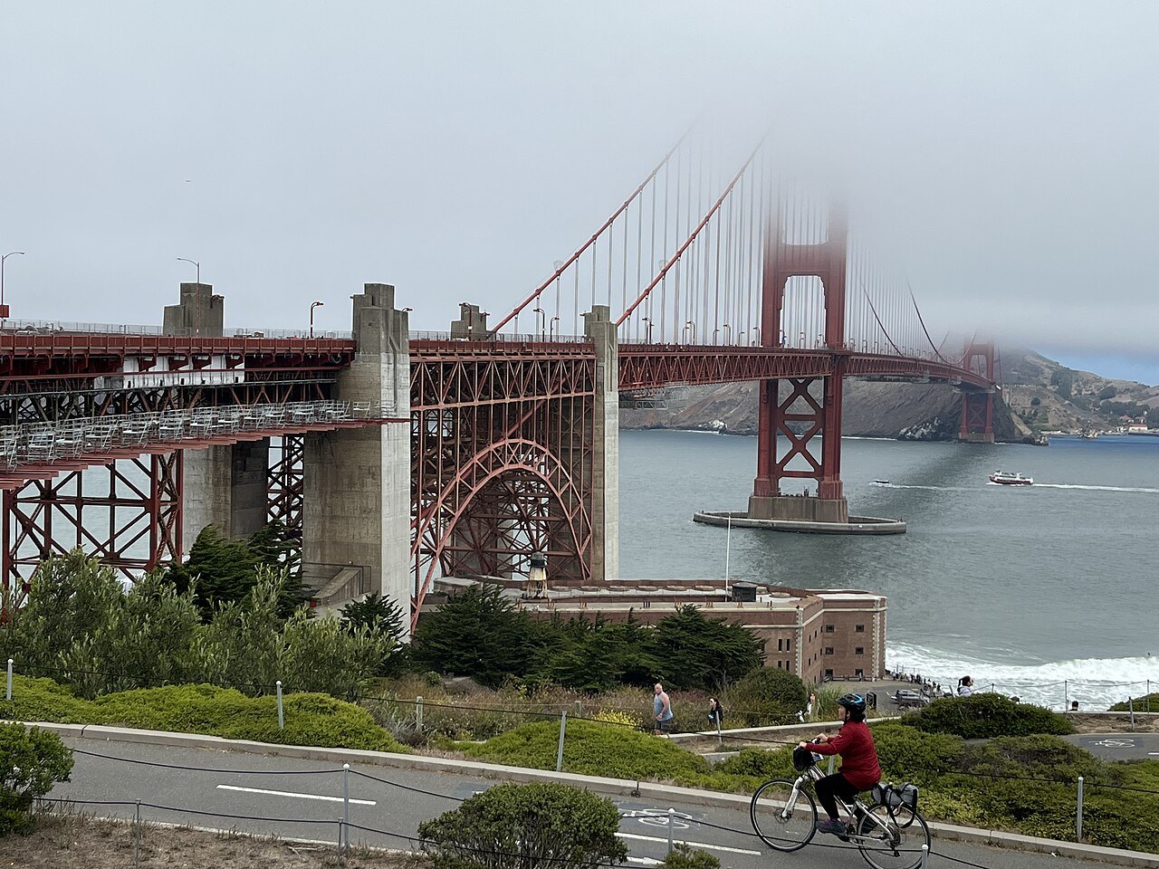
Dress for the bridge, not for your hotel. The walkway is fully exposed, and it is often much colder, windier and foggier on the span than a few miles east in the city; in summer especially, the fog pours through the Golden Gate in the afternoon, and the towers can vanish into it while you stand beneath them. Bring a warm, windproof layer and something for your head, even on a sunny day in town.
The clearest views usually come in the morning, and in September and October; see why San Francisco is so foggy in summer. But a walk in the fog is its own experience, with the cables disappearing overhead and the foghorns sounding below.
Getting back
From the Marin end you can walk back the way you came, take a Golden Gate Transit bus back to the city, or continue downhill into Sausalito, about four miles from the city, and return on the Golden Gate Ferry to the Ferry Building, which makes a fine half-day loop; see day trips. Cyclists often ride the same route, down into Sausalito and back across the water by boat.
Under the bridge
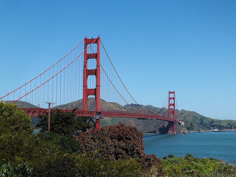
Before or after the walk, go down to Fort Point, the brick fort of the 1850s that stands under the southern end of the bridge. The engineers built a steel arch to carry the roadway over it rather than demolish it, and from its roof the deck passes directly overhead. In 2017, work also began on a steel net beneath the walkways along the length of the bridge, a barrier to prevent suicides. The Golden Gate Bridge page tells the full story of its design and construction.
More from the journal
- When to ComeWhy is San Francisco so cold and foggy in summer?How the cold Pacific, the hot inland valleys and the gap of the Golden Gate make San Francisco's summer fog, why it comes and goes each day, where in the city it is thinnest, and how to plan around it.Read the piece
- The Cable CarsHow do you ride the cable cars in San Francisco?The three lines and where they go, where to board to skip the longest queue, how to pay before you ride, how to stand on the running board safely, and what to see at the Cable Car Museum.Read the piece
- Getting HereHow do you get from SFO to downtown San Francisco?BART from the terminal to Market Street, the free AirTrain that links the gates to the station, how to pay, and when a taxi, ride-hail or Caltrain makes more sense.Read the piece