Read on
A city built on more than fifty hills
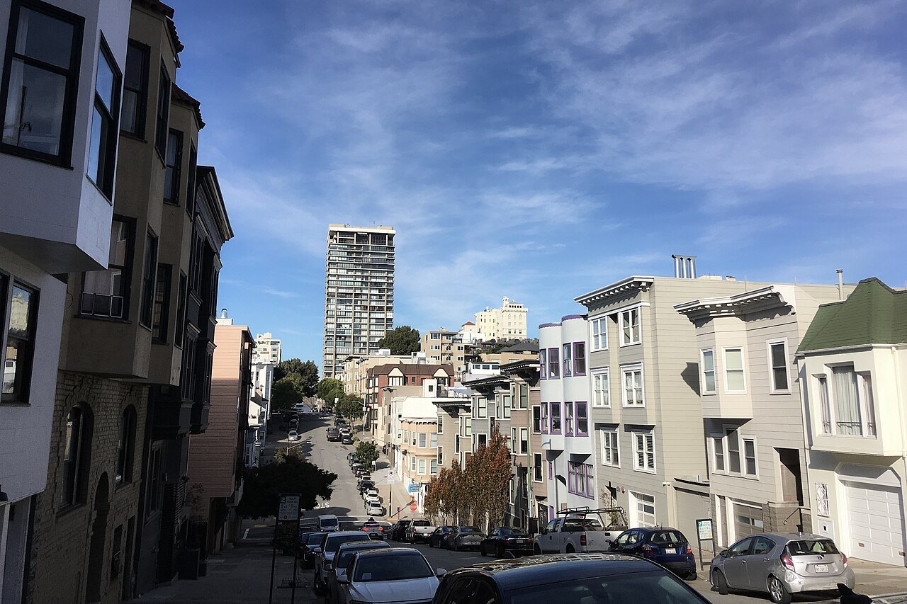
San Francisco holds more than fifty hills within its limits, and several neighborhoods are named for the rise they sit on: Nob Hill, Russian Hill, Telegraph Hill, Potrero Hill. The best known are often grouped as the seven hills of San Francisco: Telegraph Hill, Nob Hill, Russian Hill, Rincon Hill, Twin Peaks and Mount Davidson, which at 928 feet is the highest point in the city.
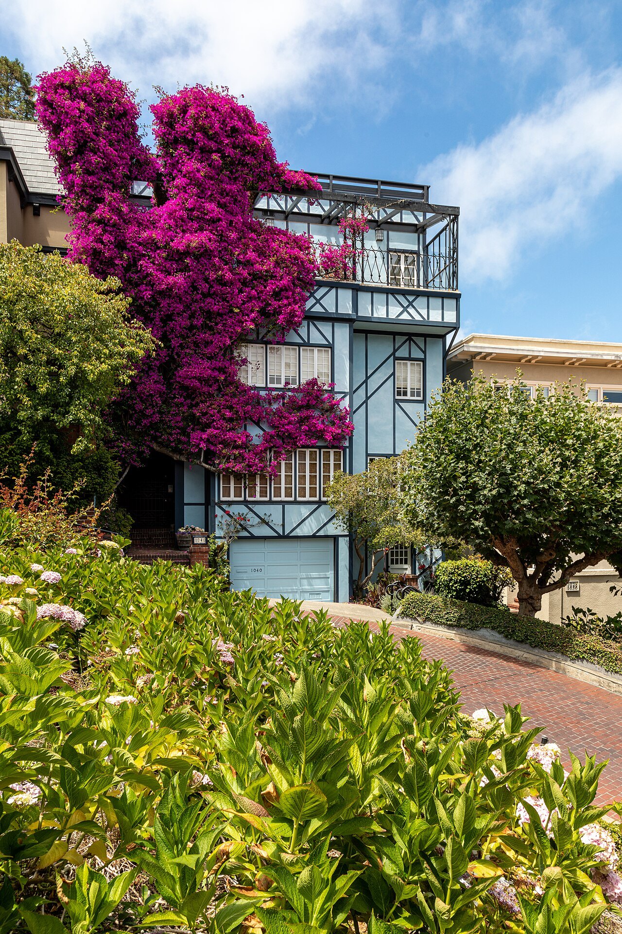
The street grid was drawn over this ground with little regard for it, so many blocks climb straight up slopes a road engineer would ordinarily have avoided. That stubbornness is exactly why the views from the hilltops are so rewarding, and also why reaching them on foot can mean a genuine climb rather than a stroll.
Every sight in this guide is marked level, some climbing, or steep or many steps, so a visitor can tell in advance what a walk will demand. Steep or many steps always comes with an easier alternative listed alongside it, usually a transit line or a road that a vehicle can use, which is the subject of this article.
Ride the cable cars instead of climbing
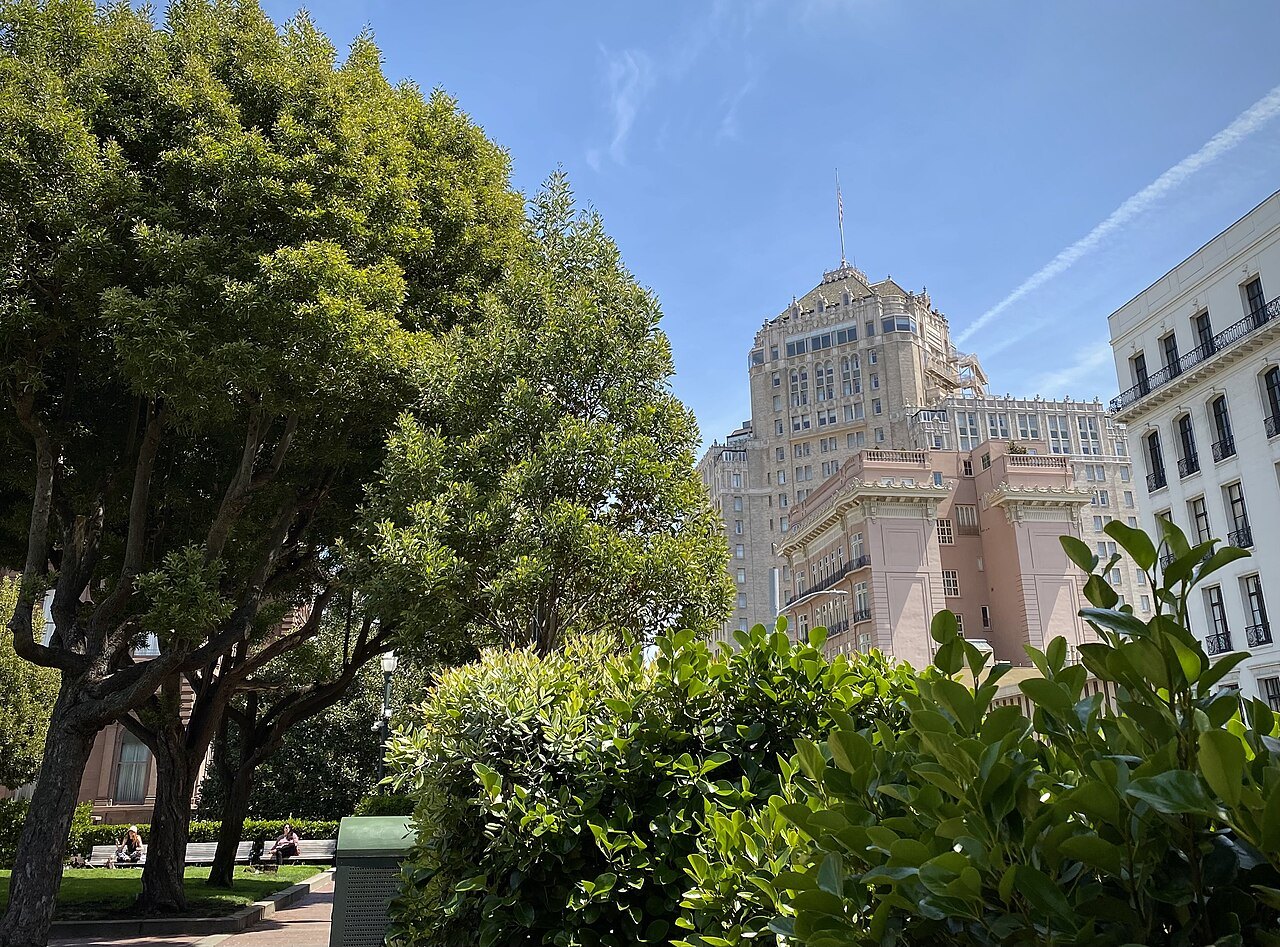
The cable cars were built for exactly this kind of ground, and they remain the easiest way to cross the steepest downtown hills without walking up them. The Powell lines carry riders directly over Nob Hill, past the sites of the mansions the railroad barons built there before the fire of 1906 destroyed them. See cable cars for routes and boarding points.
The Powell–Hyde line stops at the top of Lombard Street, so a visitor can ride up and then walk down the famous crooked block instead of climbing it. The block was built in 1922, at a property owner's suggestion, to tame a natural grade of 27 percent that was too steep for most vehicles. See Lombard Street for the full story of the curves.
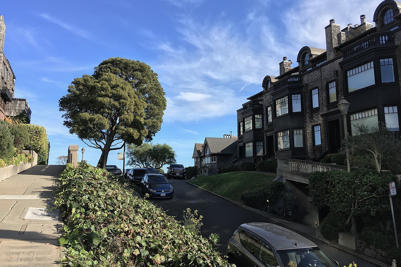
Nob Hill was once called California Hill, after the street that climbs its steep eastern face, and the California Street cable car still makes that climb today. Riding it is a painless way to reach the hilltop and see the granite walls that are nearly all that remains of the great houses lost in the 1906 fire.
Let a bus carry you to Telegraph Hill
Telegraph Hill rises 285 feet above the waterfront, and Muni's 39 Coit bus climbs it for visitors who would rather not walk up. The bus reaches Coit Tower at the summit, where the views stretch across the bay, and a rider can then walk down the Filbert Steps afterward, turning the descent into the walk rather than the climb.
The hill takes its name from a semaphore raised on its summit in 1849, a pole with arms that signaled to the city below what kind of ship was entering the Golden Gate. Its east face was later quarried for rock, and the exposed cliffs are still visible from the Vallejo Steps and from Broadway at the hill's base.
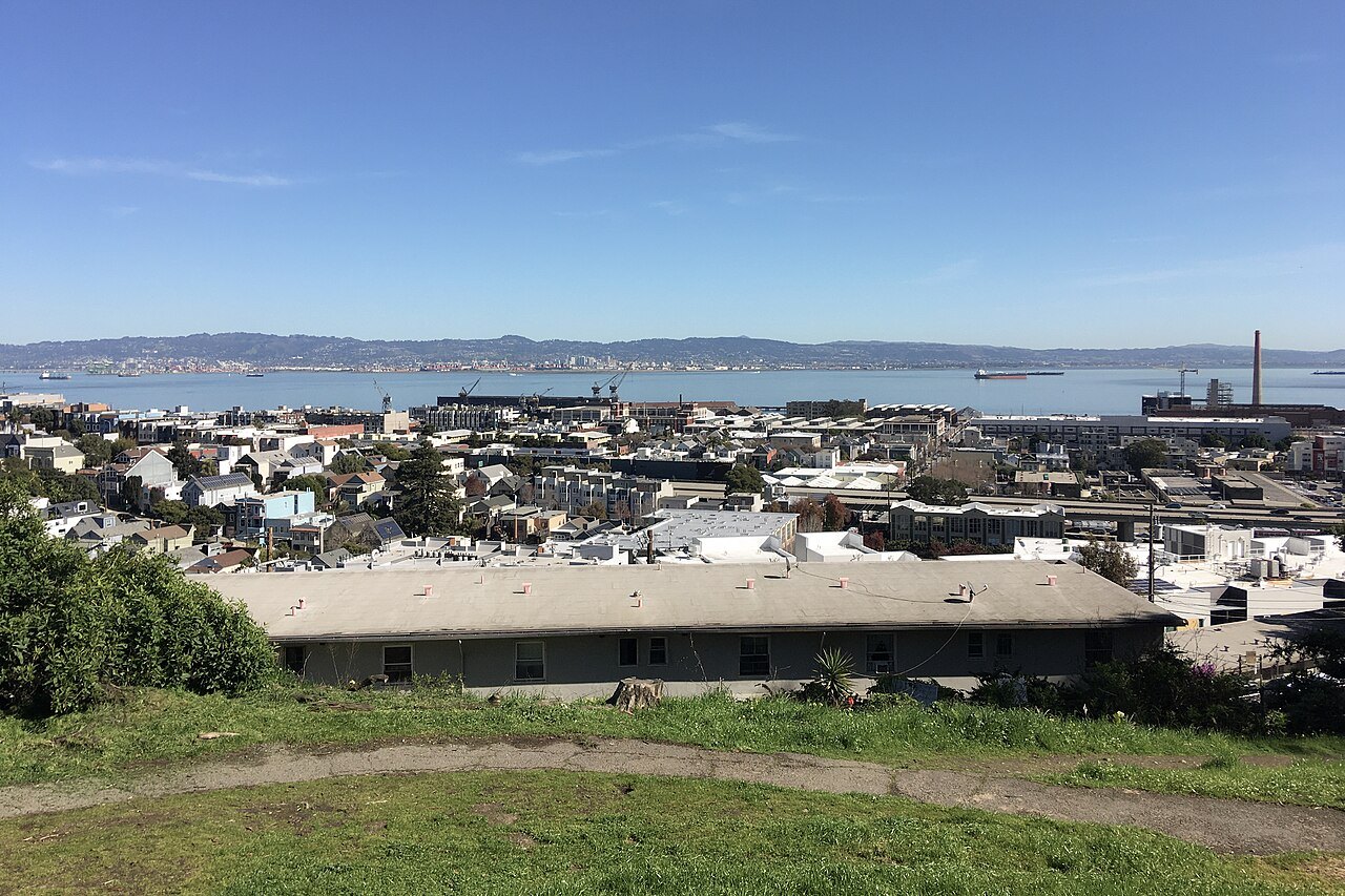
The feral parrots of Telegraph Hill are often heard, and sometimes seen, around the Filbert Steps on the way down. Riding the bus up and walking down means a visitor gets the hilltop view from the tower and the garden walk below it in one short visit, without climbing the hill twice.
Reach the summit by road
Twin Peaks has no cable car or incline railway, but a taxi or an app-booked car can reach the summit road directly, sparing a visitor the long climb up from the nearest transit stop. The same is true of the high point at Alamo Square. See Twin Peaks for more on the summit and its views.
Twin Peaks sits near the geographic center of the city, in a rugged, less crowded cluster of summits that also includes Mount Davidson and Mount Sutro. All three stand southwest of downtown, away from the busier hilltop neighborhoods, and reward a visitor with a wide view of the city and the bay without the crowds of Coit Tower.
Whatever the way up, it is worth checking with the driver or with the city's transportation department about the summit road's current condition before setting out, since weather on an exposed hilltop can change quickly and affect what any vehicle can manage on the climb, so it is worth allowing a little extra time for the trip.
Let the steps carry you down, not up
Where the slopes were too steep for streets, the city built stairways instead, and several are now among its most charming walks. On Telegraph Hill, the Filbert Steps run down the east face below Coit Tower, about four hundred wooden steps, passing through the Grace Marchant Garden, planted by a resident starting in 1949, and houses reachable only from the steps, down to Levi's Plaza and the Embarcadero.
The Greenwich Steps run down beside the Filbert Steps on the same face of the hill, and the Vallejo and Calhoun steps climb other parts of Telegraph Hill. Any of them can be used as the gentle half of a visit that goes up by bus or cable car and down by stairs.
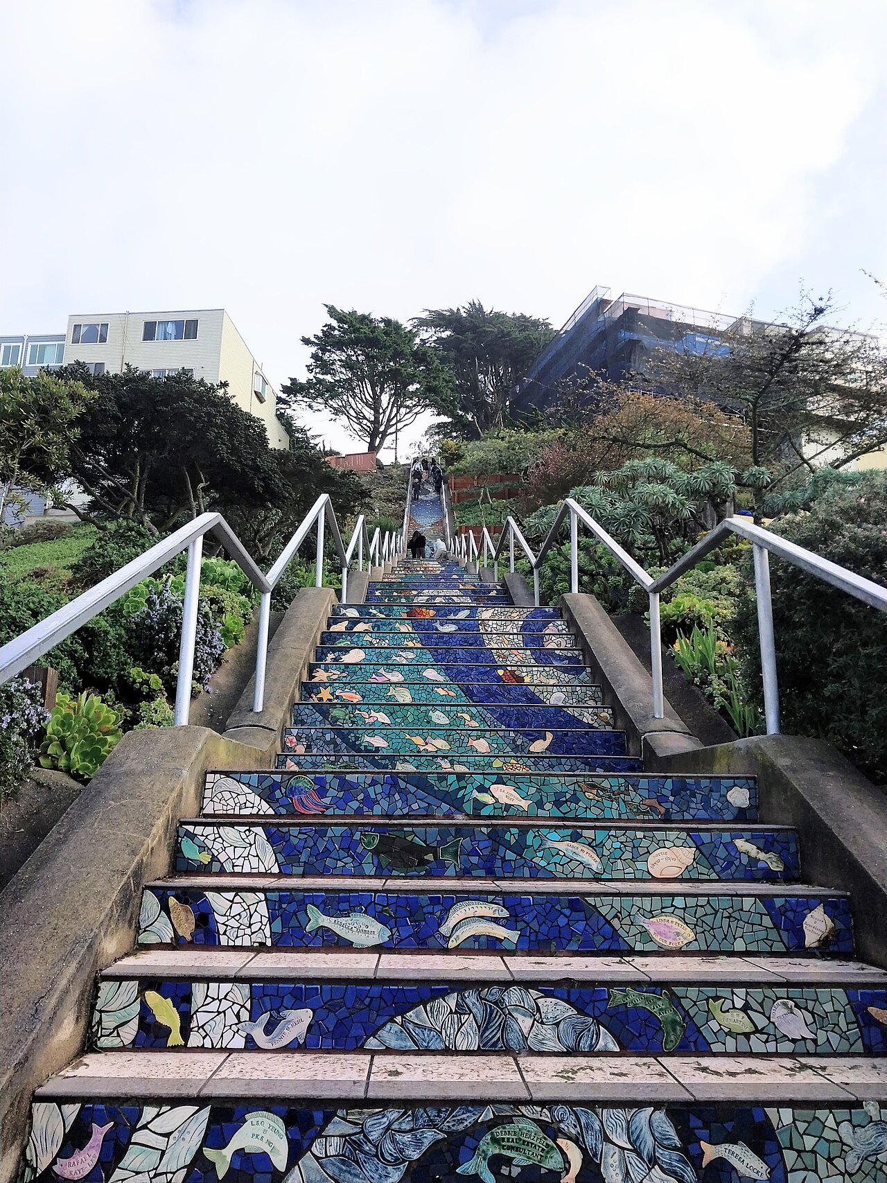
In the southwest of the city, the 16th Avenue Tiled Steps near Grand View Park are a local favorite, their risers faced in decorative tile from top to bottom. Like the Telegraph Hill stairways, they are a serious climb in the other direction, so plan to arrive at the top first if possible.
A good general rule for any hill in this city is to ride up and walk down. Going downhill costs less breath, but it works the knees and the feet harder, especially on wet pavement or smooth-soled shoes, so allow extra time and take long flights of steps slowly rather than quickly.
Keep to the flats, and dress for the wind
A great deal of the city stays level, and a full visit can be built almost entirely on flat ground. The Embarcadero runs from the Ferry Building to Fisherman's Wharf, with the F-line streetcar running along it, and Market Street, Union Square, the Civic Center and SoMa, including SFMOMA and Yerba Buena Gardens, are all level walking.
The Marina, Crissy Field and the Palace of Fine Arts on the northern shore are flat, as is the walkway across the Golden Gate Bridge and most of Golden Gate Park. The Mission District sits in a sheltered valley and is mostly level too, apart from Mission Dolores Park, which slopes steeply up from Dolores Street toward Church Street.
The hills also make their own weather. Twin Peaks, Mount Davidson and Mount Sutro form a divide for the fog that the summer wind pushes in from the Pacific: their west-facing slopes often sit under fog and strong wind, while east-facing slopes, and the neighborhoods beyond them, get more sun and warmth on the same afternoon.
The summits and the bridge walkway rank among the windiest places in the city, whatever the season, so a jacket matters even on a warm-looking day. Carry a layer to any hilltop, no matter how the weather looks from the hotel, and check the season's general pattern before the trip.
More from the journal
- The Cable CarsHow do you ride the cable cars in San Francisco?The three lines and where they go, where to board to skip the longest queue, how to pay before you ride, how to stand on the running board safely, and what to see at the Cable Car Museum.Read the piece
- The HillsWhere are the best step streets to walk in San Francisco?A visitor's guide to San Francisco's best step streets, from Telegraph Hill's gardens to the tiled steps of the southwest.Read the piece
- Lombard Street and Russian HillHow do you see Lombard Street's crooked block without driving it?How to see Lombard Street's famous switchbacks on foot, by cable car, or by car, without joining the driving queue.Read the piece