Read on
Why the city built stairways
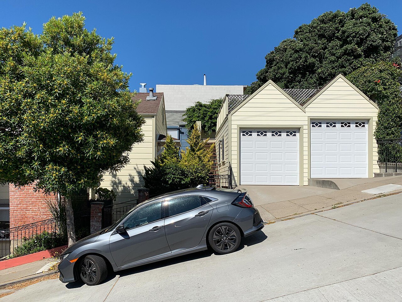
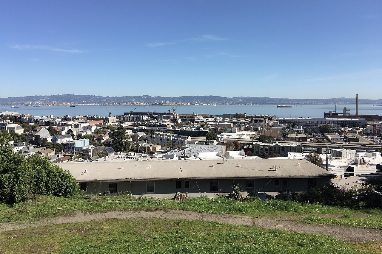
San Francisco has more than fifty hills within its limits, and the street grid was laid over them with little regard for the ground. Many streets run straight up slopes that a road engineer would have avoided, so where the grade defeated the pavement, the city built stairways instead. These step streets climb some of the steepest ground in the city, linking hidden gardens, hillside cottages and views that a car could never reach.
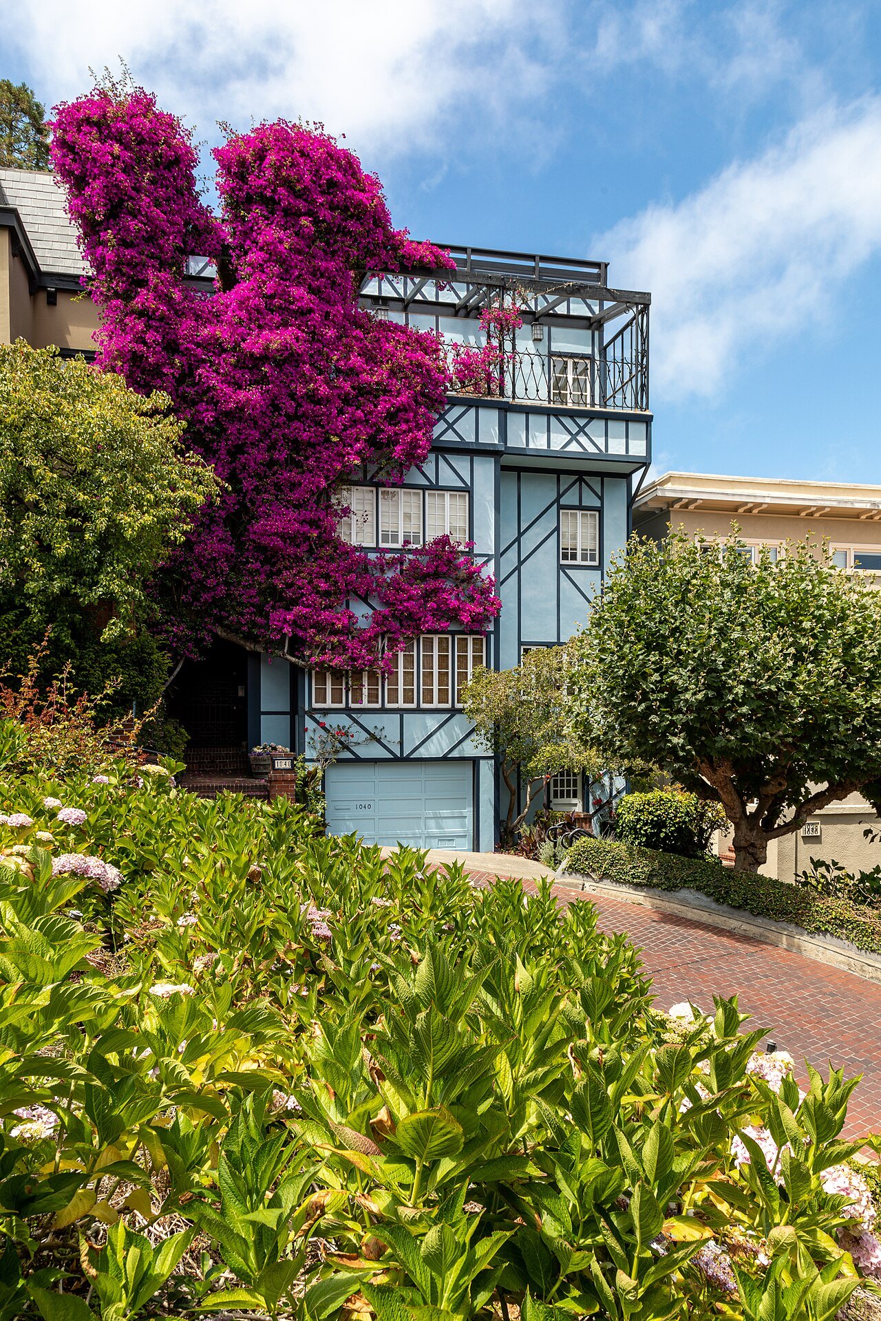
The reward for the climb is real: from partway up any of these stairways, the bay, the bridges or the downtown skyline appear between houses in a way no street can match. Steep steps are marked as such throughout this guide, and each one comes with an easier route nearby, usually a cable car, a bus or a level street that avoids the worst of the climb.
Two of the best known step streets in San Francisco climb Telegraph Hill, on its east face above the waterfront. Two more, less central, climb the same hill from other sides, and one more, well outside downtown, rewards a special trip to the southwest of the city. All of them are steep going up and a pleasure going down, so plan the direction of a walk before starting one.
The Filbert and Greenwich Steps
Telegraph Hill rises 285 feet above the waterfront, named for a semaphore raised on its summit in 1849 that signaled to the city below what kind of ship was entering the Golden Gate. Coit Tower stands at its top today, and the hill's east face, quarried for rock, still shows exposed cliffs, visible from the Vallejo Steps and from Broadway.
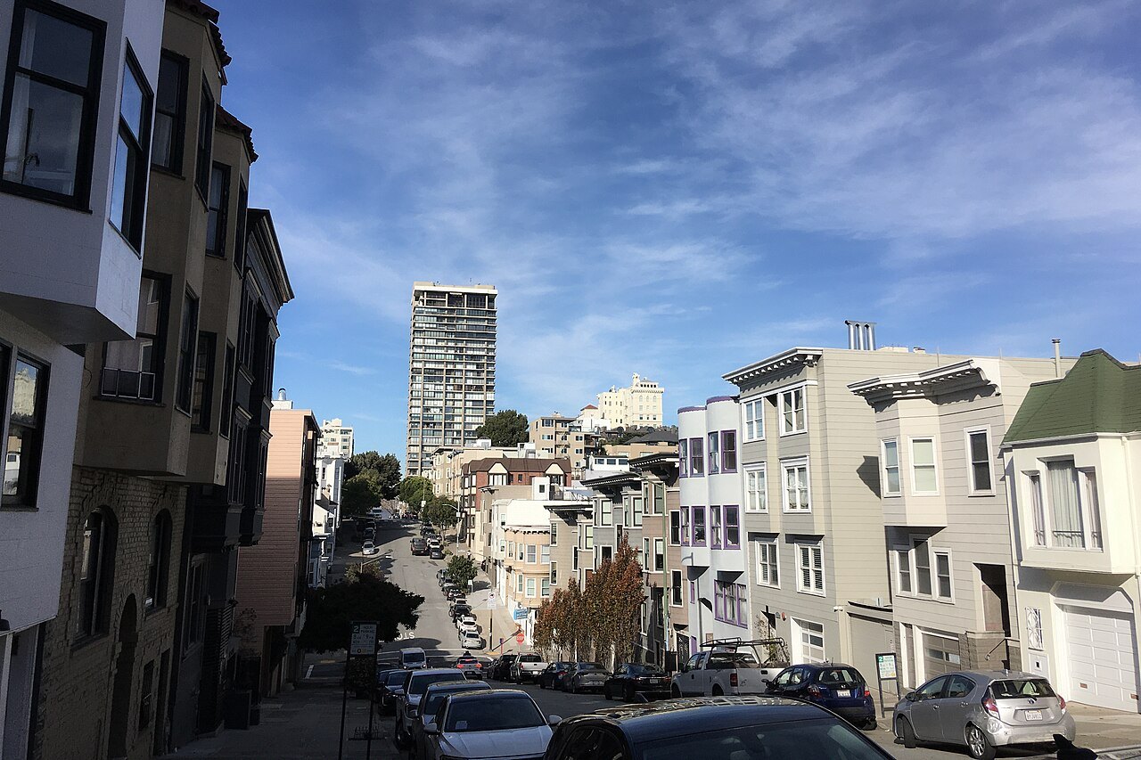
Below Coit Tower, the Filbert Steps run down that east face: about four hundred wooden steps threading through the Grace Marchant Garden, planted by a resident starting in 1949. The stairway passes houses that can be reached only on foot before reaching Levi's Plaza and the Embarcadero at the bottom. The feral parrots of Telegraph Hill are often heard, and sometimes seen, along the way.
The Greenwich Steps run down beside the Filbert Steps, a quieter parallel route with its own gardens and views toward the bay. Either stairway makes a good finish to a visit to Coit Tower: ride the bus up, as described below, then walk down through the gardens rather than back along the road, choosing shoes with grip since the wooden treads can turn slick after fog or rain.
Steps on the hill's other sides
The Vallejo Steps and the Calhoun Steps climb other parts of Telegraph Hill, away from the crowds that gather near Coit Tower. From the Vallejo Steps, and from Broadway below, the quarried cliffs on the hill's east face are still visible, a reminder of how much rock was cut away in the hill's early years.
These steps see fewer visitors than the Filbert Steps, and the climb is just as steep. They offer a quieter way up or down Telegraph Hill, though the wooden treads and concrete stretches alike call for sturdy shoes and an unhurried pace, especially after rain, when the surfaces turn slick.
A walk that combines both sets of steps, climbing one side of Telegraph Hill and descending the other, takes in the hill's quarried history as well as its garden side in a single loop. It can begin or end at Coit Tower on the summit, or at Levi's Plaza and the Embarcadero at the bottom, depending on which direction is chosen.
The 16th Avenue Tiled Steps
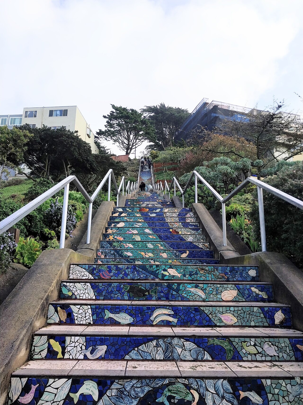
In the southwest of the city, near Grand View Park, the 16th Avenue Tiled Steps are a local favorite among San Francisco's step streets, faced with tiles from bottom to top. The design climbs the hillside in a long, colorful run, and the location is far from downtown, so the walk suits a visitor who has already covered the more central sights.
As with the hill's other stairways, these steps are a pleasure to descend and a serious climb going up, so allow time and, if possible, plan to arrive from the higher end. Grand View Park sits above the steps, and the climb rewards a visitor with wide views over the western neighborhoods and the ocean beyond.
Because this stairway lies away from the cable car lines and the bus routes that reach Telegraph Hill and Nob Hill, getting there and back takes more planning than a visit to those central hills. Check current routes and any service changes with Muni before setting out, especially if the plan is to arrive close to a particular time.
Riding up, walking down
The cable cars were built for slopes exactly like these, and they remain the easiest way onto two of the hills at the center of downtown. The Powell lines carry passengers over Nob Hill, and the Powell–Hyde line stops at the top of Lombard Street, letting a visitor walk down the crooked block instead of up it; see Lombard Street and cable cars for routes and stops.
For Telegraph Hill, Muni's 39 Coit bus climbs to the tower at the summit, so a visitor can ride up and then walk down the Filbert Steps through the Grace Marchant Garden rather than climb them cold. Check the current route and any schedule notices with Muni before setting out, since a hill route can change more often than one on the flat.
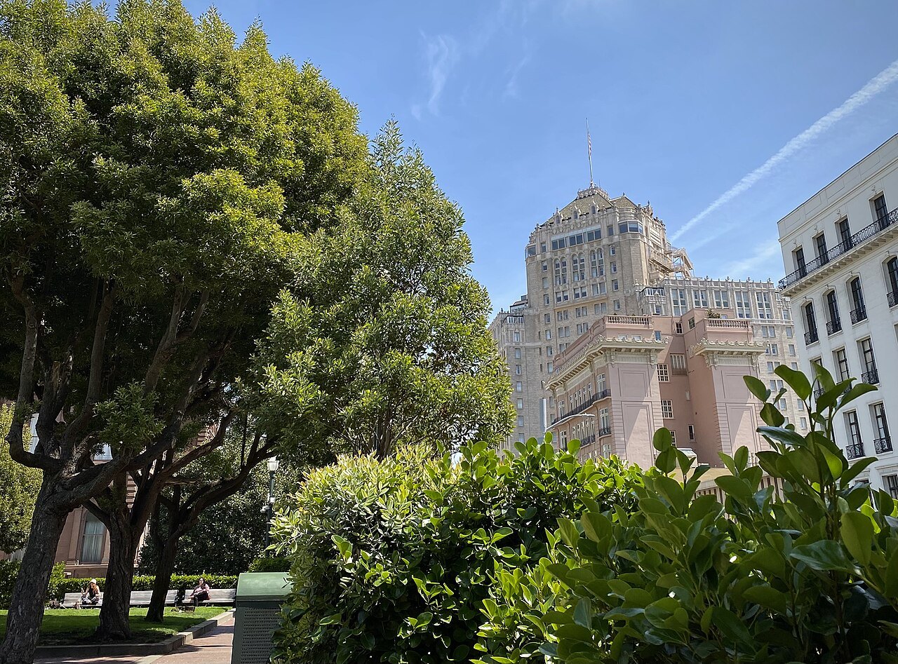
The general rule for any hill in San Francisco is to ride up and walk down. Going downhill uses less breath, but it works the knees and feet harder, especially on a long flight of steps, so allow extra time, use a handrail where one is provided, and rest partway if the stairway is long.
Dress for the climb
Telegraph Hill, Nob Hill and the other high points catch more wind, and in summer more fog, than the flat streets below, because Twin Peaks, Mount Davidson and Mount Sutro divide the weather rolling in off the Pacific. A step street on an exposed hillside can feel noticeably colder than the block where a walk begins. Carry a layer on any hill walk, whatever the weather looks like at the hotel.
Wet weather makes every stairway harder, since wooden treads and painted concrete both turn slick with fog or rain. Smooth-soled shoes are a particular hazard on a grade like the Filbert Steps or the Vallejo Steps, so a visitor planning a hill walk should choose shoes with real grip and take the steps at an unhurried pace, holding a rail where one is provided.
For a visit built entirely on flat ground instead, much of downtown, the Embarcadero, the Marina and most of Golden Gate Park stay level, and a full day can be planned without a single flight of steps. For those who do want the climb, the stairways of Telegraph Hill and the tiled steps of the southwest remain among the best reasons in the city to look up rather than down at a map.
More from the journal
- The Cable CarsHow do you ride the cable cars in San Francisco?The three lines and where they go, where to board to skip the longest queue, how to pay before you ride, how to stand on the running board safely, and what to see at the Cable Car Museum.Read the piece
- Lombard Street and Russian HillHow do you see Lombard Street's crooked block without driving it?How to see Lombard Street's famous switchbacks on foot, by cable car, or by car, without joining the driving queue.Read the piece
- When to ComeWhy is San Francisco so cold and foggy in summer?How the cold Pacific, the hot inland valleys and the gap of the Golden Gate make San Francisco's summer fog, why it comes and goes each day, where in the city it is thinnest, and how to plan around it.Read the piece